Many people make these mistake when trying to invest in real estate. You don’t have to be one of them
follow us on Instagram: @propgeotechnologieslimited
#RealEstateNigeria#realestatetips
PropGeo Technologies Limited is working to solve all these issues and is currently building a trusted digital marketplace that transforms how people discover, invest in, and transact real estate in Nigeria.
#RealEstateInvestment#RealEstateNigeria#RealEstateTips
Welcome to the official twitter page of PropGeo Technologies Limited, your trusted real estate market place.
At PropGeo Technologies Limited, we are focused on buying and selling real estate properties with a vision to be a trusted global leading real estate marketplace.
Branding is a major part of any business, and for propgeo, our goal is excellence, and this starts with our branding.
We can’t wait to share amazing insight on real estate with you next week, so stay tuned and we’ll see you soon!!
#RealEstateTips#realestateagent
Search and Visualize NASA Earth Data in QGIS with OpenGeoAgent
Learn how to search, stream, visualize, and download NASA Earth observation data directly within QGIS using the NASA Earthdata Plugin and the OpenGeoAgent Plugin.
In this tutorial, you will also see how OpenGeoAgent enables natural language and voice-based geospatial workflows for searching datasets, customizing visualizations, and interpreting satellite imagery using multimodal AI models. This workflow combines QGIS, NASA Earthdata, and AI-powered automation to simplify geospatial data discovery and visualization.
Video: https://t.co/hIKCqePs3r
NASA Earthdata Plugin: https://t.co/YGSDfHmnkB
OpenGeoAgent Plugin: https://t.co/WgiWV1wGMS
#geospatial #opendata #qgis #geoagent
Thank you so much to everyone who liked and retweeted my post. I'm excited to be among the top ten winners out of over 300 participants in the AccePreneur program organized by Access Bank. This award came with a consolation prize, and I’m looking forward to what's ahead.
Hi guys, I’m Adedewe Abiodun. I am currently building PropGeo, a tech-driven platform making real estate access easier. I’m excited to be a semi-finalist in the Accesspreneur competition at the NYSC Delta State Camp for a chance to win N1M! #Myaccessbank#access_more#Access
🌿🌾🌽 Assessing the Potential of Multi-Temporal Conditional Generative Adversarial #Networks in #SAR-to- #Optical Image Translation for Early-Stage #Crop#Monitoring
✍️ Geun-Ho Kwak and No-Wook Park
🔗 https://t.co/UPuyJB12vh
🌿🌿 Monitoring #Grassland Variation in a Typical Area of the Qinghai #Lake#Basin Using 30 m Annual Maximum #NDVI Data
✍️ Meng Li et al.
🔗 https://t.co/U1RDVGQnot
🌾🌾 The SCCCI² index is minimally influenced by standing #water levels and #image observation time in remote monitoring of #rice#nitrogen status, enabling precise determination of topdressing rates.
✍️ Gonzalo Carracelas et al.
🔗 https://t.co/iDxtPimWHo
Before NISAR begins mapping Earth, its metadata must be mission-ready.
NASA’s CMR project team ensures that datasets are accurate, accessible, and optimized for researchers worldwide.
Read more about this metadata review and it enhances Earth science: https://t.co/ZF4lQAzsoJ
#EarthData #RemoteSensing #NISAR
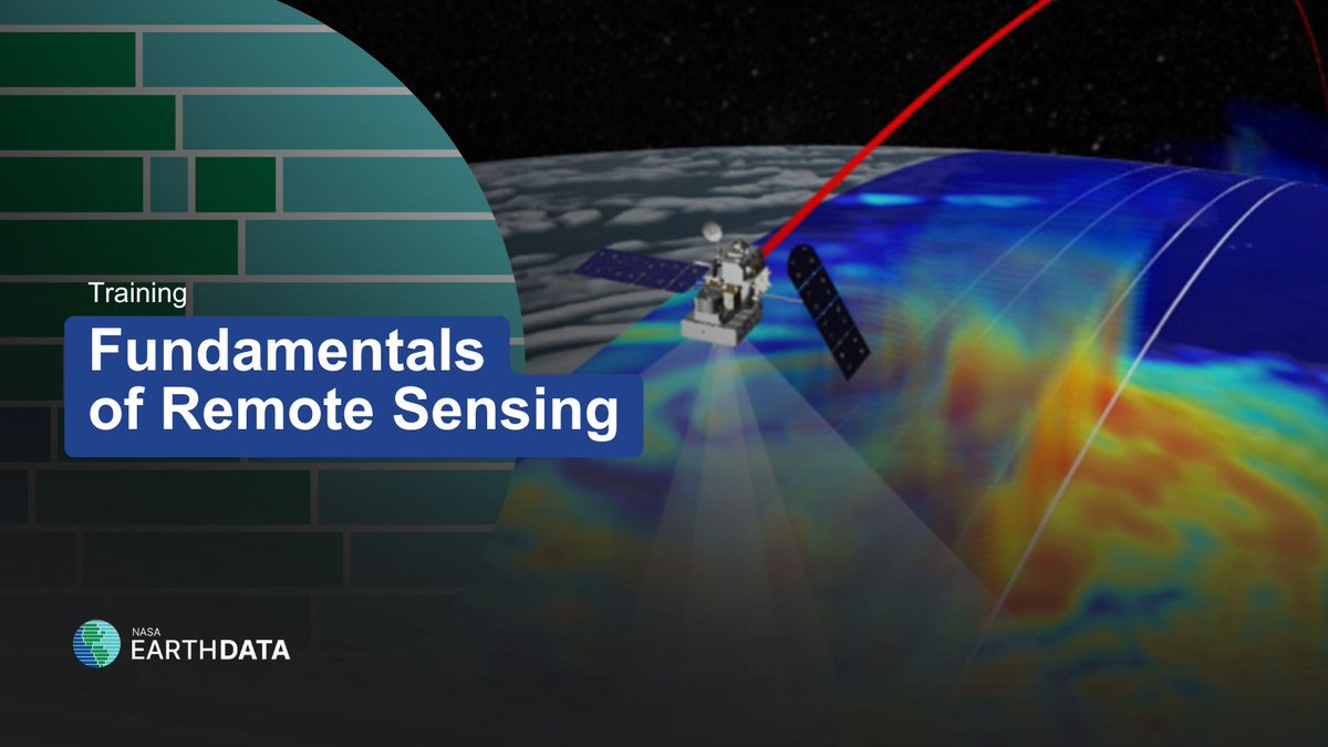
New to remote sensing? 🛰️
NASA's Applied Remote Sensing Training Program (ARSET) offers a free online training course titled "Fundamentals of Remote Sensing."
Learn more at https://t.co/d6zVb92Vq9
@NASAARSET#RemoteSensing#EarthData
NASA's International Space Apps Challenge is coming in just over a month! Want to explore how community issues can be shaped by physical geography? Use #OpenData & #GIS in our Community Mapping challenge to reveal new insights. @SpaceApps
Learn more: https://t.co/8MIvXFlB6w
@DataCamp 2. @giswqs's Open Geospatial Solutions Youtube Channel
Qiusheng provides excellent tutorials in Python that cover topics ranging from using Google Earth Engine, to spatial databases.
Check out his playlists for specific courses.
📢 I am teaching an Introduction to GIS Programming course this semester! All course materials are freely available online. New video lectures will be uploaded twice a week. Check out the links below to learn #geospatial 🌍 data visualization and analysis using #opensource Python packages 📊
Website: https://t.co/2dK3d0n9Rz
GitHub: https://t.co/yBth77q1pC
YouTube playlist: https://t.co/9sbsl5SHNk
#geospatial #python #jupyter
📣Exciting #opportunity for young scientists! The 'GRSS International School on SAR #Polarimetry 2024' is now open for application🌍📡
📝Apply between Aug 5 – Sept 29
🗓Course Dates: 10 - 12 Dec, 2024
📍 Location: Stirling, Scotland🏰
🔗More info https://t.co/w4T9UraO2v
#ieeegrss