10,9,8... And we are LIVE‼️
Title piece - You Do You
Proverb - March To The Beat Of One's Own Drum
- Henry David Thoreau.
World of Women
by
@WOMENverse101
on
@foundation
beautifully curated World by
@CoinSeer
and
@marieladinardo
https://t.co/gpKbfQtNhJ
🧵
Scattered severe storms are possible across Southeast MI on Thursday, especially during the late evening or overnight. Threats will be: damaging winds, large hail, lightning, and tornadoes. Keep an eye on the forecast this week. #miwx
Looking ahead, models are beginning to converge on the idea that we will see a classic summer like setup across the US, with an upper level ridge building to begin June. This will keep the central US warmer than usual, and the Midwest / Great Lakes more active as the ridge supports the chance of storm complexes that ride this ridge. We are watching the rough timeframe of May 29th thru the first week of June for this pattern to hang around. Expect stable, warmer conditions and increased storm chances during this time period.
We have updated the Google Map with all 2026 Michgan Tornadoes with recent additions of the Beaverton tornado and the Waters tornado. The Michigan tornado count for the year is now 16.
https://t.co/oOJdVBH7Ae
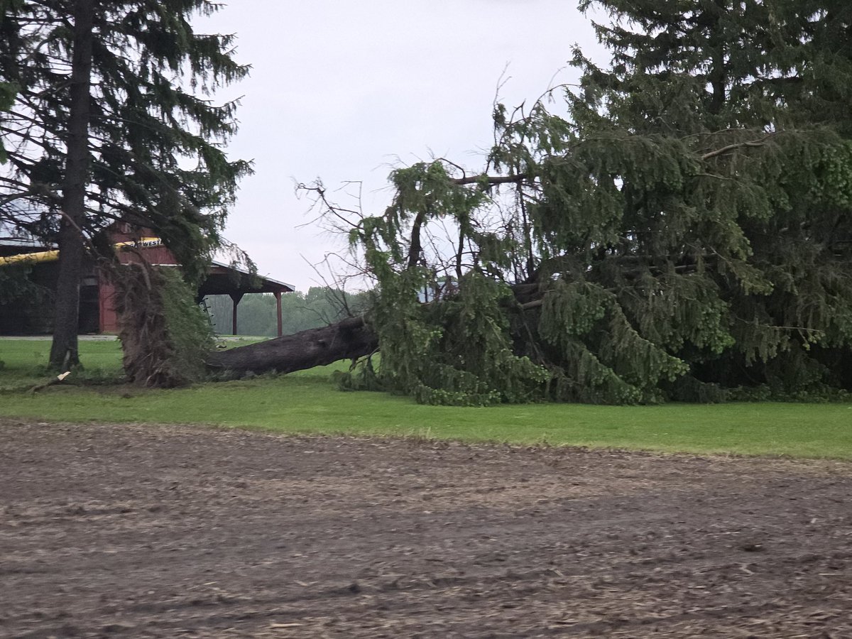
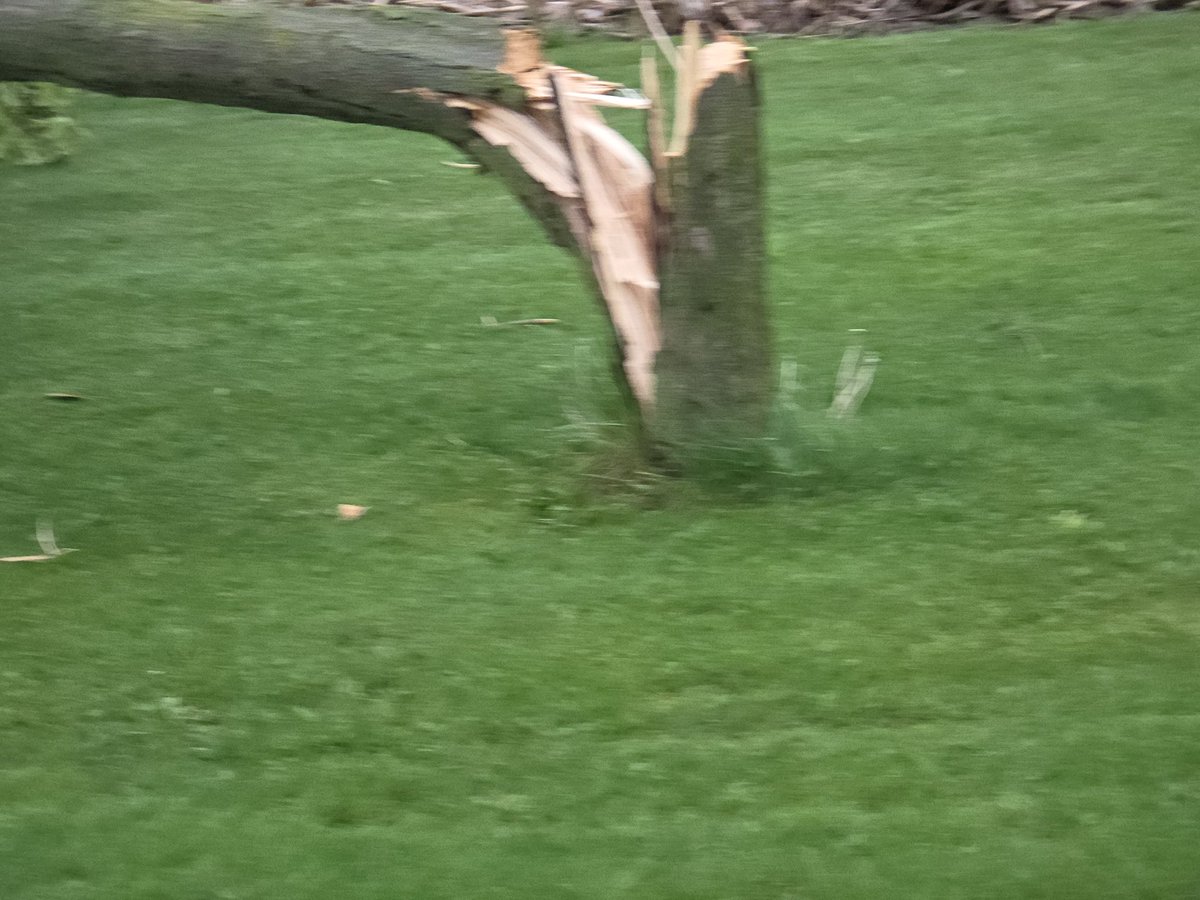
Found several trees and large branches, SW of Christina to NNE of Melbourne.
Several around one farm on Parkhouse Dr between Sutherland and Glenoak
@NTP_Reports#onstorm
I saw Dave so I figure some or all of this may be documented.
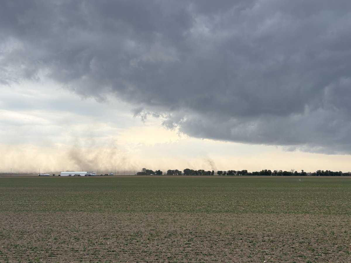
Current sate over SONT Latest Radar loop (till 6:05PM) and Max wind gusts recorded at various stations. #onwx#onstorm Heed all Weather alerts! Stay safe!