Ph. D. from Indian Agricultural Research Institute. Worked with Space Applications Centre, ISRO. Now, Director, Mahalanobis National Crop Forecast Centre.
This map tells you where in India the number of deaths due to extreme weather events is the largest—and what kind of event it is. Floods, cyclones, heat and cold waves, and lightning took about 1.4 lakh lives during the past five decades. Study @moesgoi@raykamaljit@rajeevan61
A study of 50 y data (1970–2019) assessing long-term changes in mortalities due to extreme weather events in India has been published by @moesgoi scientists in @sciencedirect Weather & Climate Extremes
It's co-authored by Dr @rajeevan61, Secy, MoES
Read: https://t.co/h03D4e9XPM
Extreme weather events claimed lives of over 1.4 lakh people in last 50 years: Paper - The Economic Times.
This news refers to our recently published paper in Weather and Climate Extremes
@raykamaljit@rajeevan61@moesgoi@IMDWeather@ndmaindia https://t.co/8SBYDLPRGv
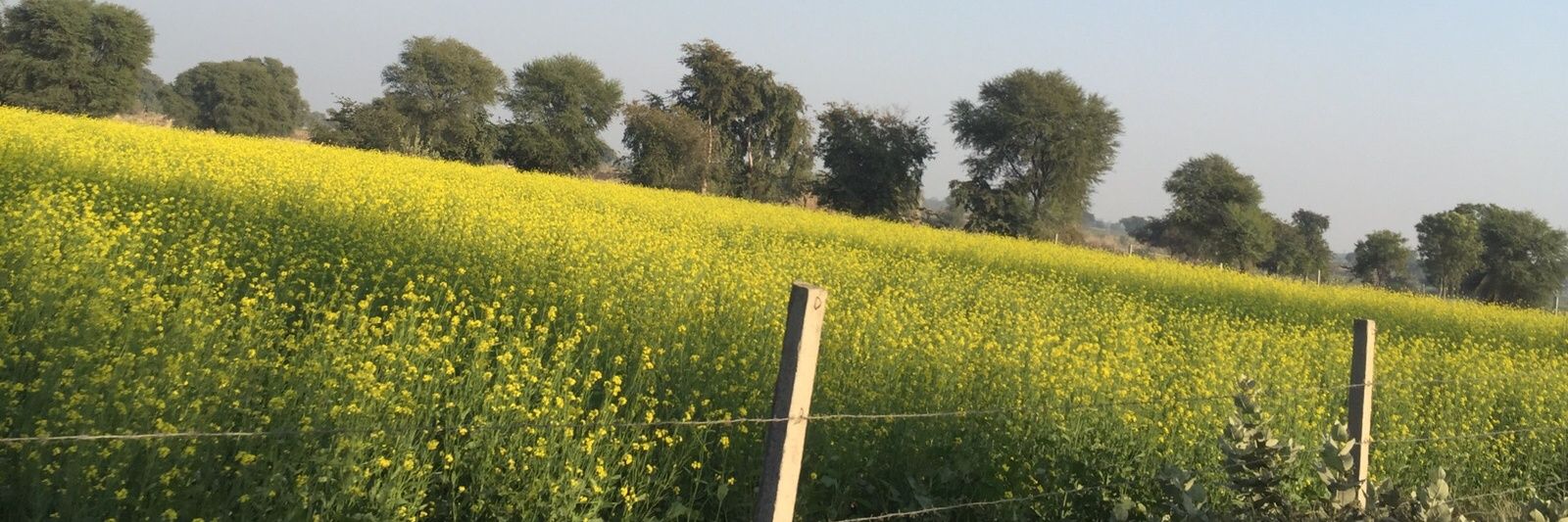
5 years ago, on January 13, 2016, the Government of India approved the Pradhan Mantri Fasal Bima Yojana, an important step in strengthening the condition of farmers, under which insurance was given to protect crops from natural disasters & adverse weather conditions #AgriBudget21
#PMFBY के अंतर्गत किसानों के दावों का समयबद्ध निपटान सुनिश्चित करने के लिए चावल और गेहूं उत्पादक 100 जिलों में ड्रोन उड़ाने के लिए @AgriGoI के प्रस्ताव को नागरिक उड्डयन महानिदेशालय (@DGCAIndia ) ने मंजूरी दी है।
#Technology4PMFBY
To ensure timely settlements of claims under PMFBY, @DGCAIndia has approved the proposal of @AgriGoI for flying drone over 100 districts growing rice and wheat.
#Technology4PMFBY
ड्रोन इमेज के अलावा, उच्च स्थानिक रिज़ॉल्यूशन सैटेलाइट डेटा, बायोफ़िज़िकल मॉडल, स्मार्ट सैंपलिंग, आर्टिफिशियल इंटेलिजेंस और मशीन लर्निंग, क्रॉपस्नाप, इंटरनेट ऑफ़ थिंग्स आदि का भी बड़े पैमाने पर इस पायलट अध्ययन में उपयोग किया जा रहा है।
#Technology4PMFBY
Apart from drone based images, High Spatial Resolution Satellite data, Biophysical Models, Smart Sampling, AI & ML, CropSnap, IoT etc. are also being used in this large scale pilot study.
#Technology4PMFBY
बीमा इकाई में स्मार्ट सैंपलिंग तकनीक और सीसीई के प्रत्यक्षीकरण और प्रत्यक्ष उपज अनुमान पर सटीक फसल उपज हानि के लिए फसल कटाई प्रयोग (CCEs) की अधिकतम संख्या निर्धारित करने के लिए देश भर में #PMFBY के तहत कई रिमोट सेंसिंग डेटा चालित पायलट अध्ययन किए गए हैं।
#Technology4PMFBY
Several Remote Sensing data-driven pilot studies have been conducted under PMFBY across the country to determine optimum number of Crop Cutting Experiments for accurate crop yield loss at insurance unit, Smart Sampling Technique & Rationalization of CCE & direct yield estimation.