To anyone posting the Nadocast, I feel it’s important to mention it struggles with elevated & messy storms, due to the only UH field being 2-5km and no parameterization for storm mode
The ceiling exists for this event, but I wouldnt expect this model to nail the details #ilwx
I used to believe in too much shear, until I worked at TAE for a couple years. January 9, 2024 completely rewired my brain regarding convective evolution and how much instability matters. There is a fine line, but 99th percentile kinematics can certainly override expectations.
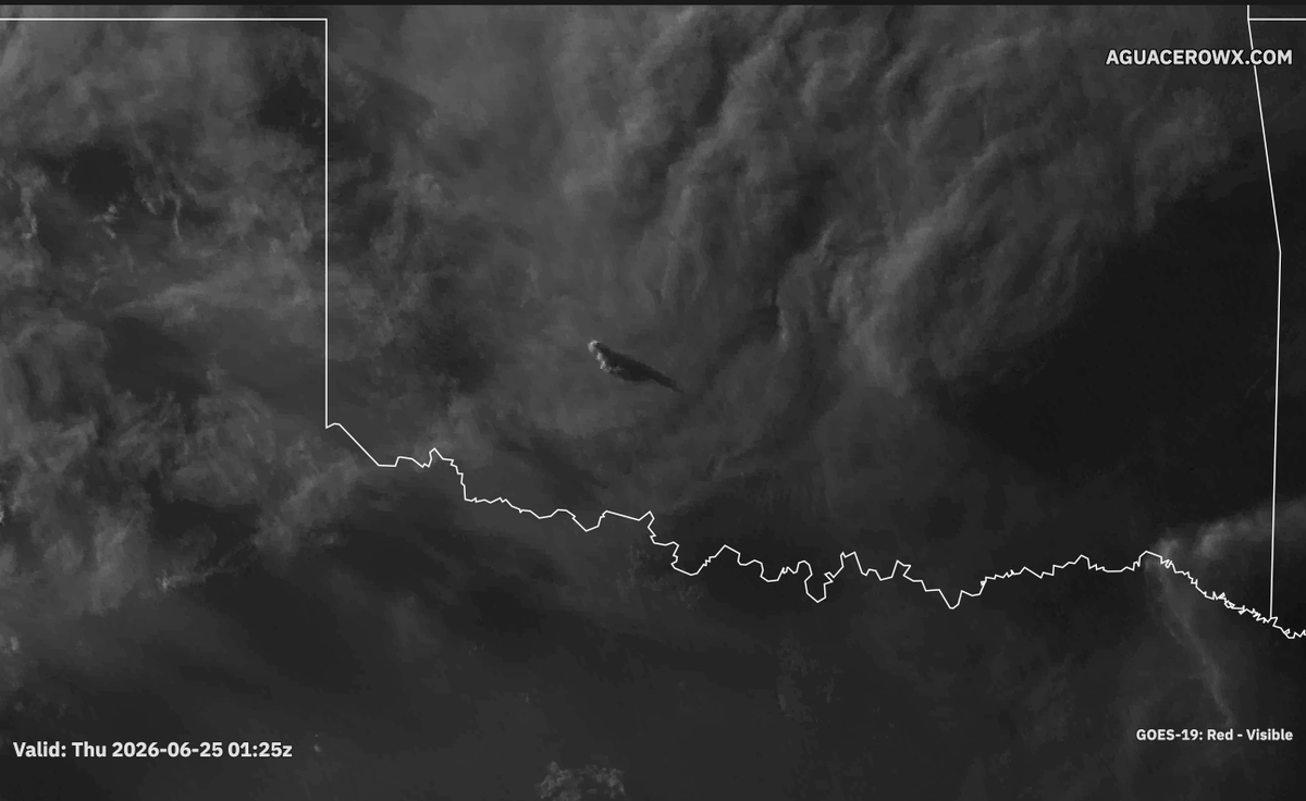
The "overshooting tops" from the weakening storms across northwestern Oklahoma are casting some cool shadows on the BL in central Oklahoma. The sharp gradient is clearly visible on traffic cameras. #okwx
Super excited to announce that we have received the preliminary results from SPC's Spring Forecasting Experiment!
StormNet scored 1st place overall, plus:
-1st place at each lead-time.
-1st place each week of the experiment.
Even beating CSU-MLP (GEFS-MLP) and WxNext2!
Aguacero 5.8 is live.
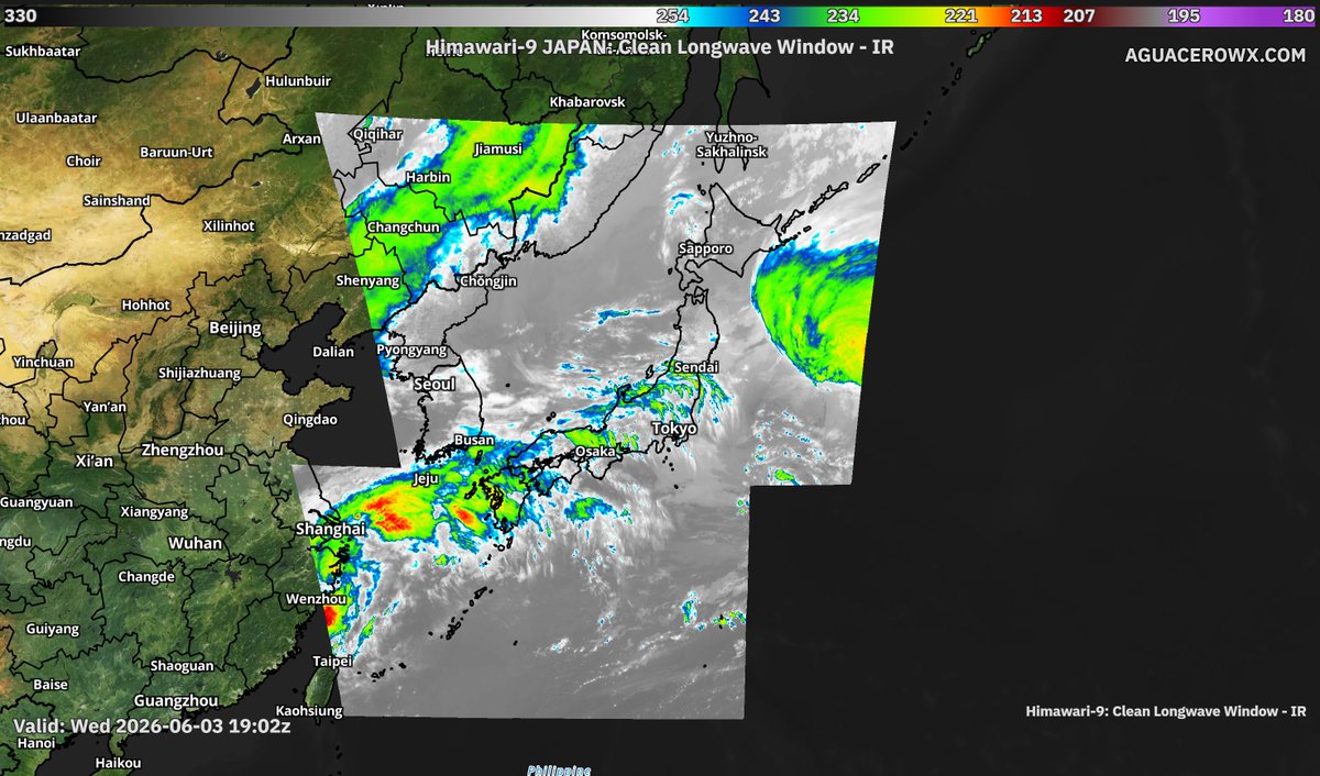
🛰 GOES-West & Himawari, satellite coverage across the whole Pacific
⚡ Lightning counter for layouts & popups
🎨 Brightness/contrast/saturation sliders for satellite basemaps
📦 Bundles can now save the model they were built with
https://t.co/1Zh9E6vYnV
🚨 More Broadcast Tools!
•💡Point & click map highlights (no shapefiles needed)
• 🌬️Wind particles & streamlines
• NWS CWAs, lat/lon, text backgrounds & more
• Units on point readouts
• ⛈️DCAPE estimation
• Tons of new fonts
Available now → https://t.co/tmGzmDrtGh
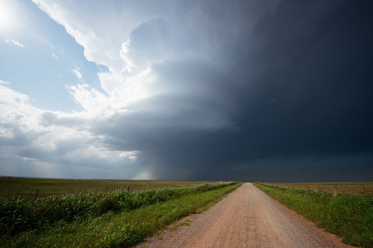
Storms developing across W OK may threaten the OKC metro over the next few hours if they strengthen. Damaging winds and large hail are the main threats. A low-end tornado risk also exists across C OK due to enhanced low-level shear from this morning's storms. #okwx
👀Yes your eyes aren't tricking you,
This IS aguacero!
Our latest update is specifically for creators that need beautiful broadcast style graphics without the hardware/software cost that normally comes with it!
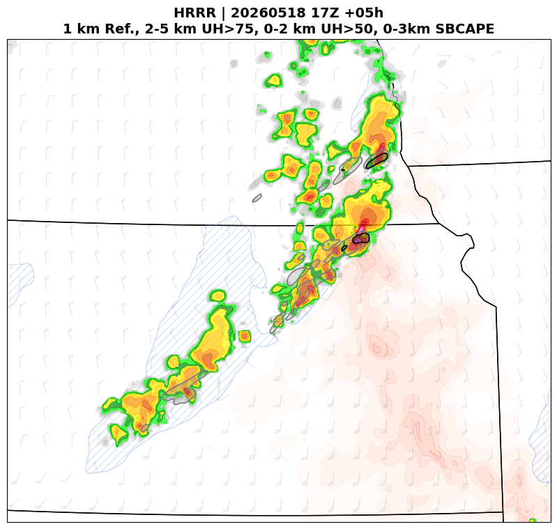
Most CAMs had a solid handle on convective evolution yesterday. HRRR showed storms initiating along the shear-parallel cold front, with only the leading storms displaying much low-level UH. All trailing storms/UH were well within the system cold pool or south of the best 3CAPE.