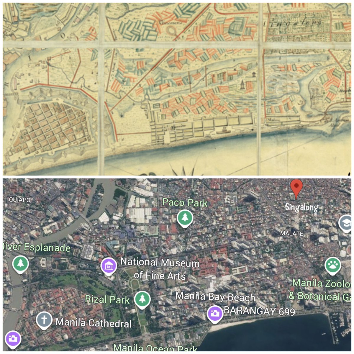
UPRI-NOAH is teaming up with the UP Department of History to dig up Metro Manila’s lost waterways, tracing rivers, esteros, and water channels that have disappeared, narrowed, or been buried beneath the city.
These are some of our team’s initial discoveries:
1. We have an 1826 topographic map 😲 covering Manila, Makati, and parts of Malabon, Caloocan, Navotas, Valenzuela, San Juan, Quezon City, Pasay, Mandaluyong, and Pasig. This is a remarkable historical window into how the landscape and waterways looked nearly 200 years ago.
2. Taft Avenue was once a considerably large waterway.
3. The Manila Yacht Club is located at the river mouth.
4. Estero de Pandacan used to be remarkably wide, nearly as wide as the Pasig River. Its present-day form gives little indication of its former extent.
Map courtesy of Real Kerbz Clado Alvarez
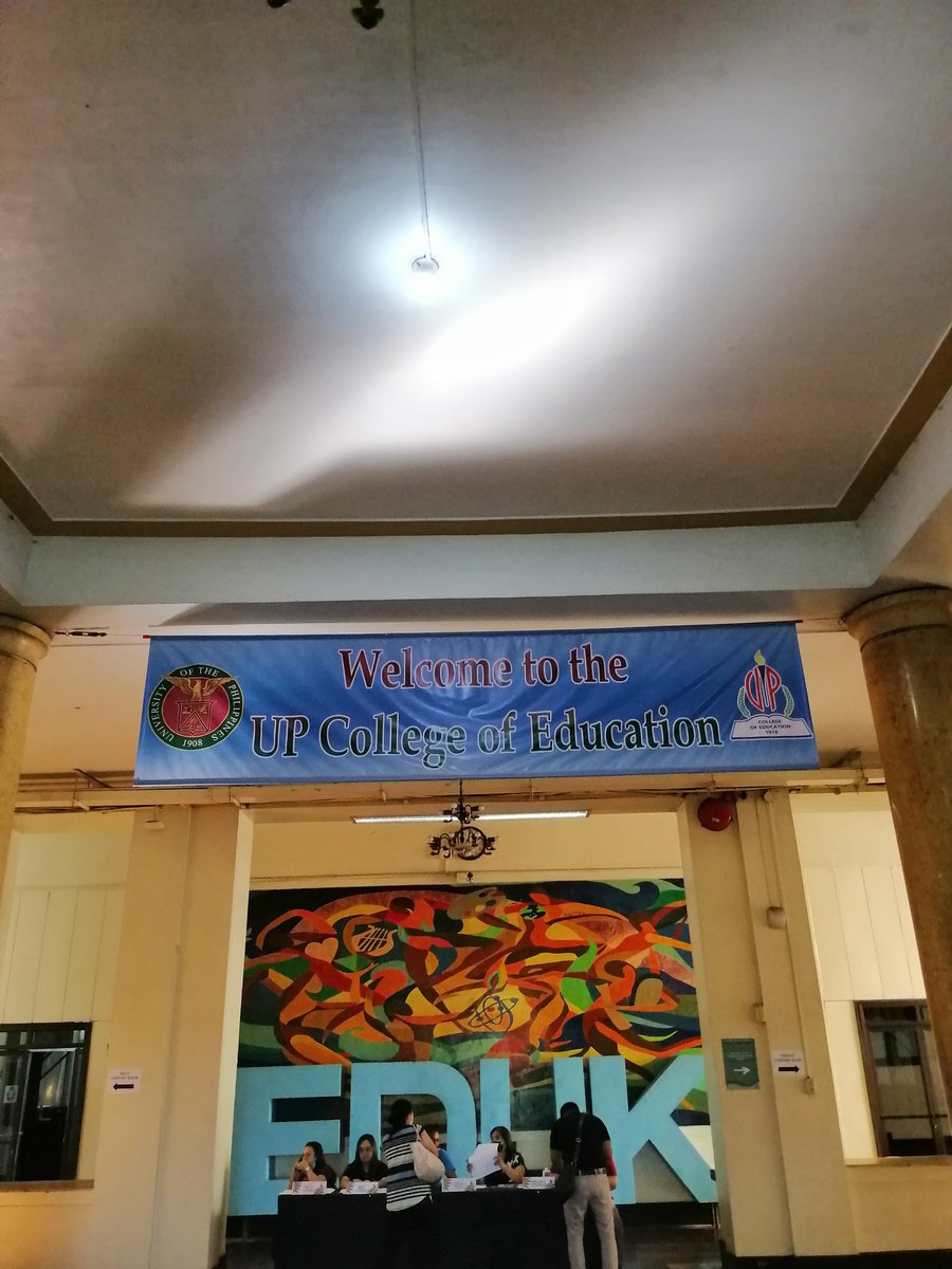
That surreal feeling attending my gradschool orientation in UP College of Education. The first time I entered here, I was 17 years old. 15 years later, I am here, attending my orientation as UP student. 😘 #ParaSaBata#ParaSaBayan
BOOGSH! 🏁💕 The supertrailer for #DragRacePH Season 2 is OUT NOW: https://t.co/a71onwpINb
@DragRacePH S2 + Untucked premiere August 2nd ☀️ Use code: PHILIPPINES for 20% off your 1st month: https://t.co/OH56BgrF0X
🇵🇭 @wowpresentsplus + @hboasia
🌎 @wowpresentsplus worldwide