#Chantal has held together remarkably well for being ~150 miles inland and is dropping boatloads of rain to central NC. The flooding that’s resulted from this and “#Barry’s Skeleton” are the latest examples of why it’s not always about the winds with tropical cyclones. (1/3)
Update on wettest Christmas Eve-Christmas Day Holiday season across SW CA through noon today. Wettest period for many locations across SW CA. Check out the latest Public Information Statement for all the details: https://t.co/16EkA0vpjz #LAWeather#socal#LARain#cawx
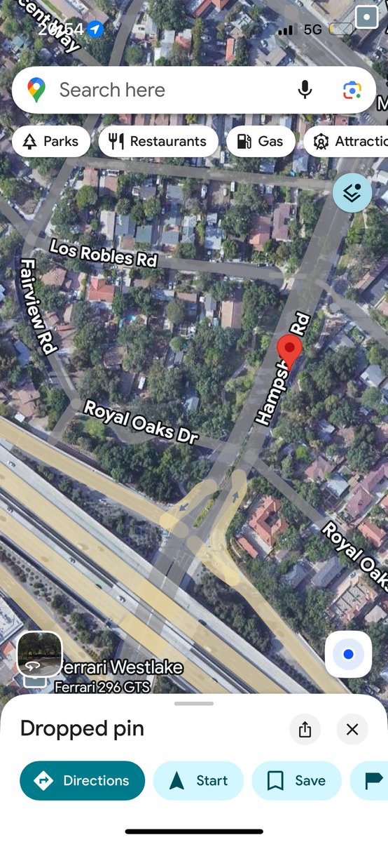
@NWSLosAngeles Did see this decent sized downed tree limb… otherwise it’s really just been strewn branches and smaller debris for me here in Thousand Oaks.
It ain’t textbook but I’d definitely still consider this to be a fallstreak hole… first time I’ve seen one as far as I can remember.
(Pic taken around midday yesterday)
@NWSLosAngeles
@NWSLosAngeles The deepest water I came across was along here from just past the 101 N on/off ramps to approaching TO Blvd Sat Night. Hard to gauge depth, if I were to guess maybe like ankle high..?
Next week is looking quite active in CA as a high-amplitude flow pattern develops over North Pacific in downstream response to perturbation of jet stream by West Pacific #TyphoonHalong. NorCal looks quite wet & stormy (rain & iso. tstms/mtn snow); SoCal impacts TBD. #CAwx#CAfire
@JaydonShawwx Did they leave the holes open or stitch them up..? I remember when I had mine done I had to rinse them out with salt water until they closed naturally.
Little bit longer range... this system will eventually make its way up the coast and bring another round of tropical moisture up into Northern Baja and possibly reaching into SoCal again but that's a little bit more uncertain at this point. #CAwx#wxtwitter
The Fujiwhara Shenanigans aren't quite done yet... but this time out in the EPAC. TS #Octave will likely get pulled eastward and into whatever develops out of Invest #99E/Priscilla. Obviously not as impressive as Humberto & Imelda but always cool to watch play out. #tropics
How about *only* hurricane pairings in the Atlantic and for the entire period of record (since 1851). What are the closest two hurricanes have ever been recorded? Humberto and Imelda right at the top. The nearest reliable contender was Easy and Fox back in 1951.
@WeatherDude150 Yeah that’s my only concern… I def think they missed Gabrielle’s peak as well. It really does suck who knows how many 5s we’ve missed because of this.