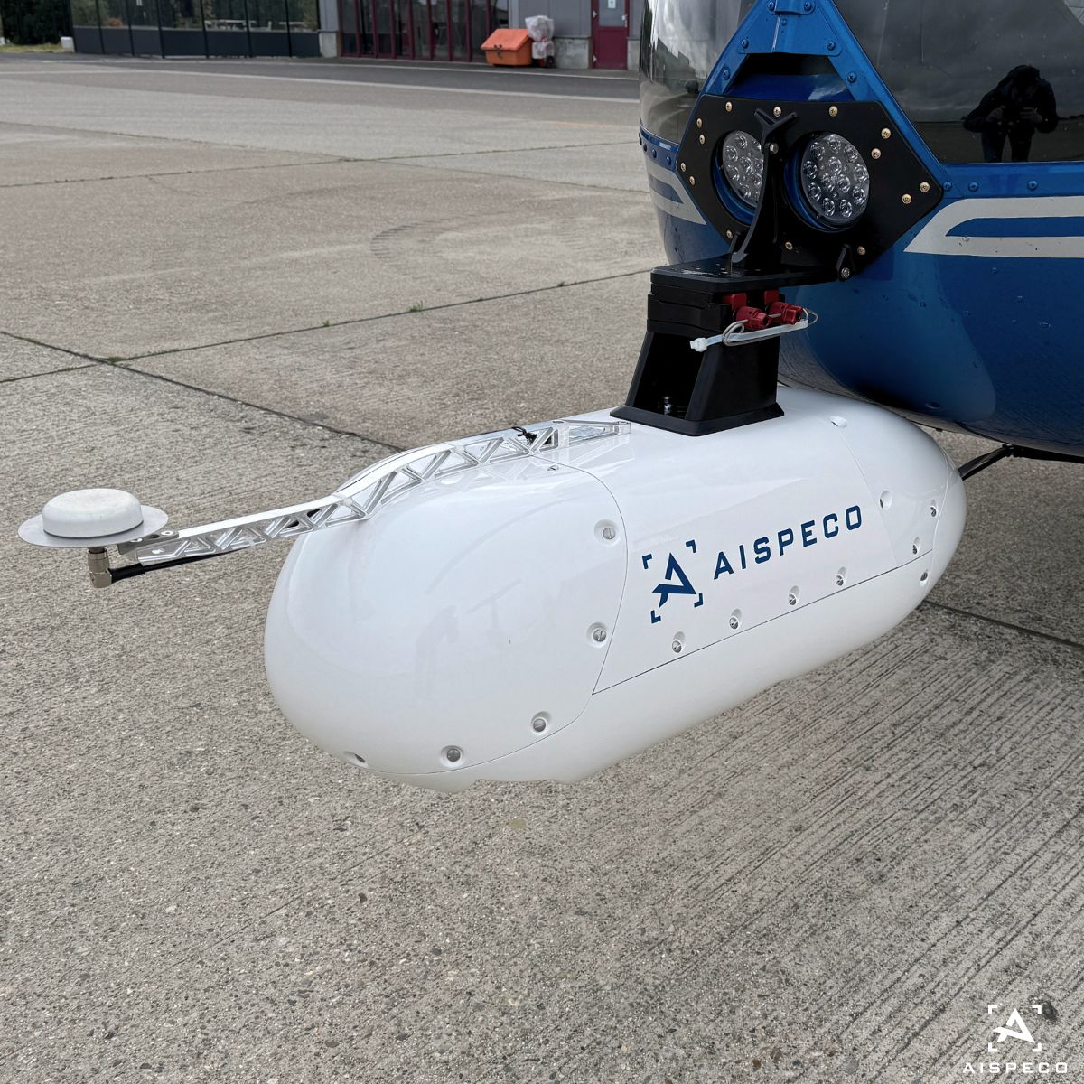
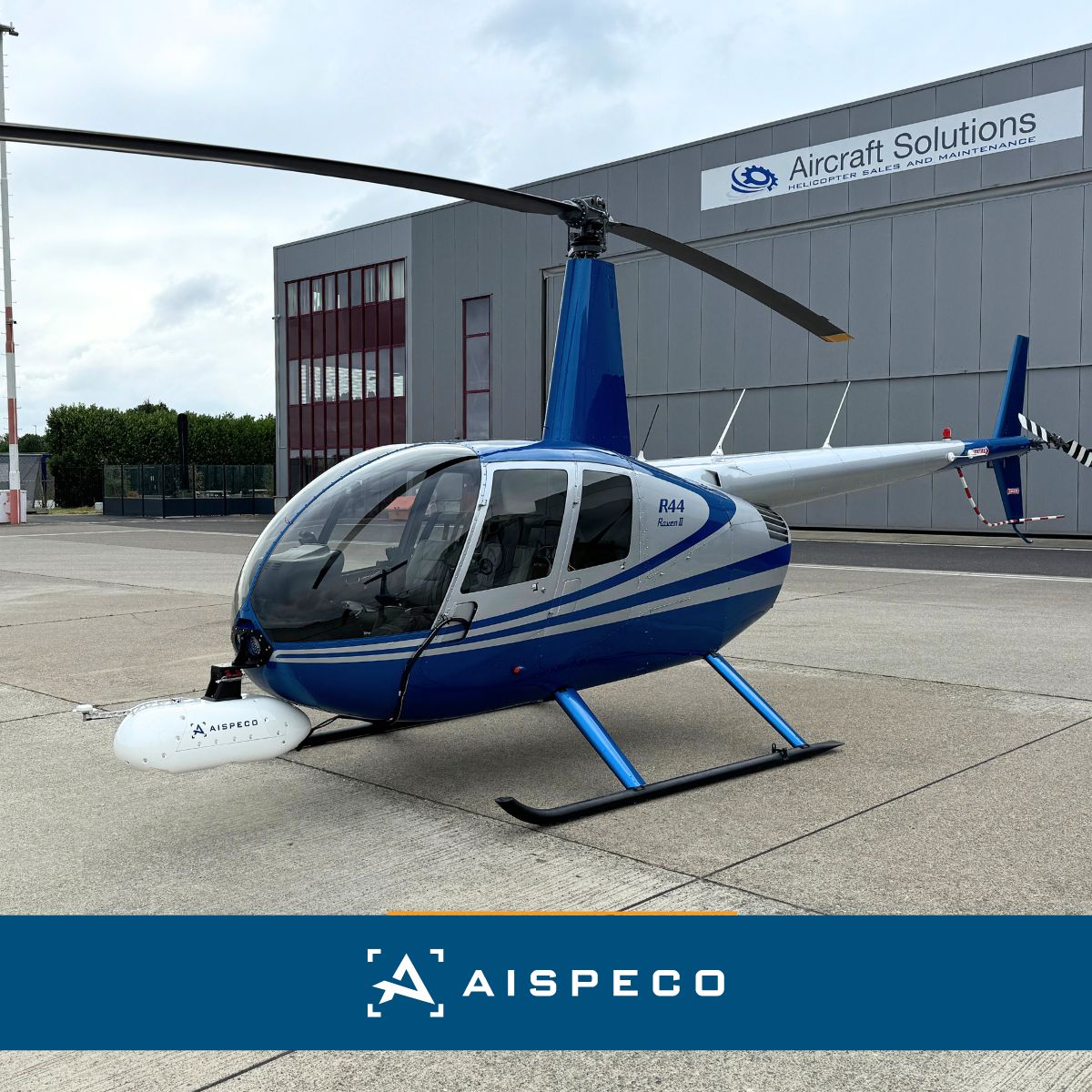
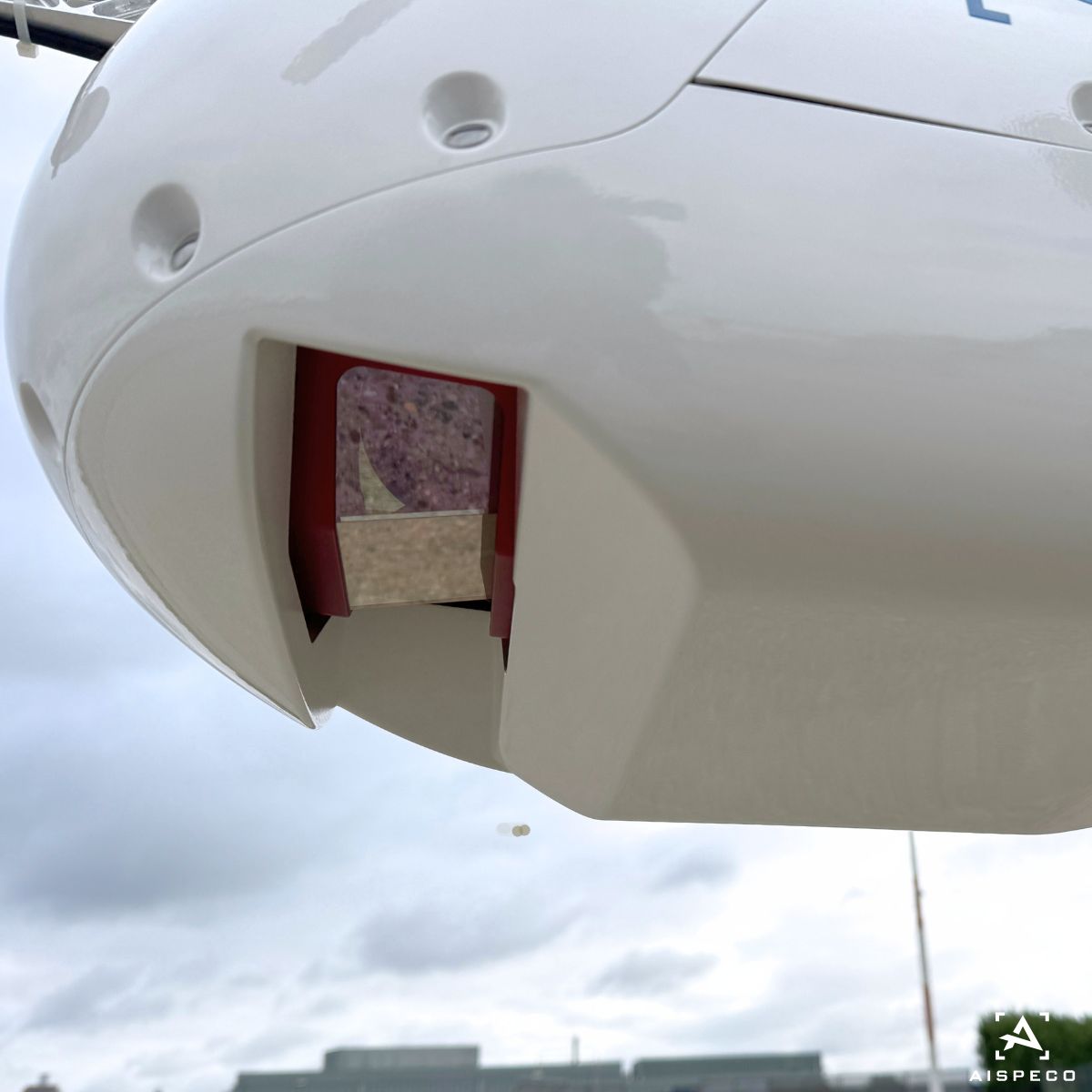
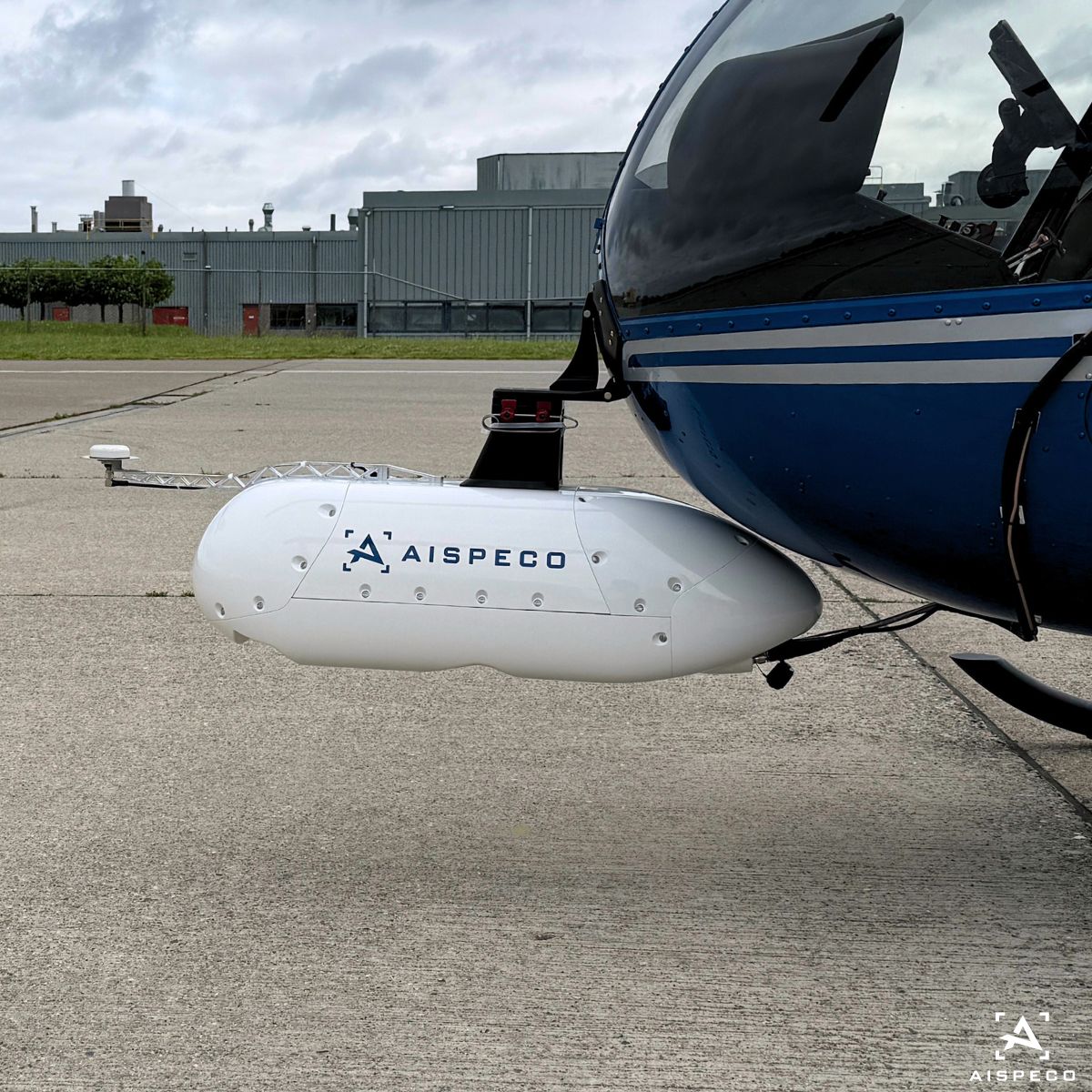
#AISPECO AI-controlled #gimbal for light aircraft is set to transform data collection methods, including the Circular oblique pattern. This method employs a circular pattern to capture images with thermal, RGB, and NIR cameras, providing detailed and multi-faceted data collection
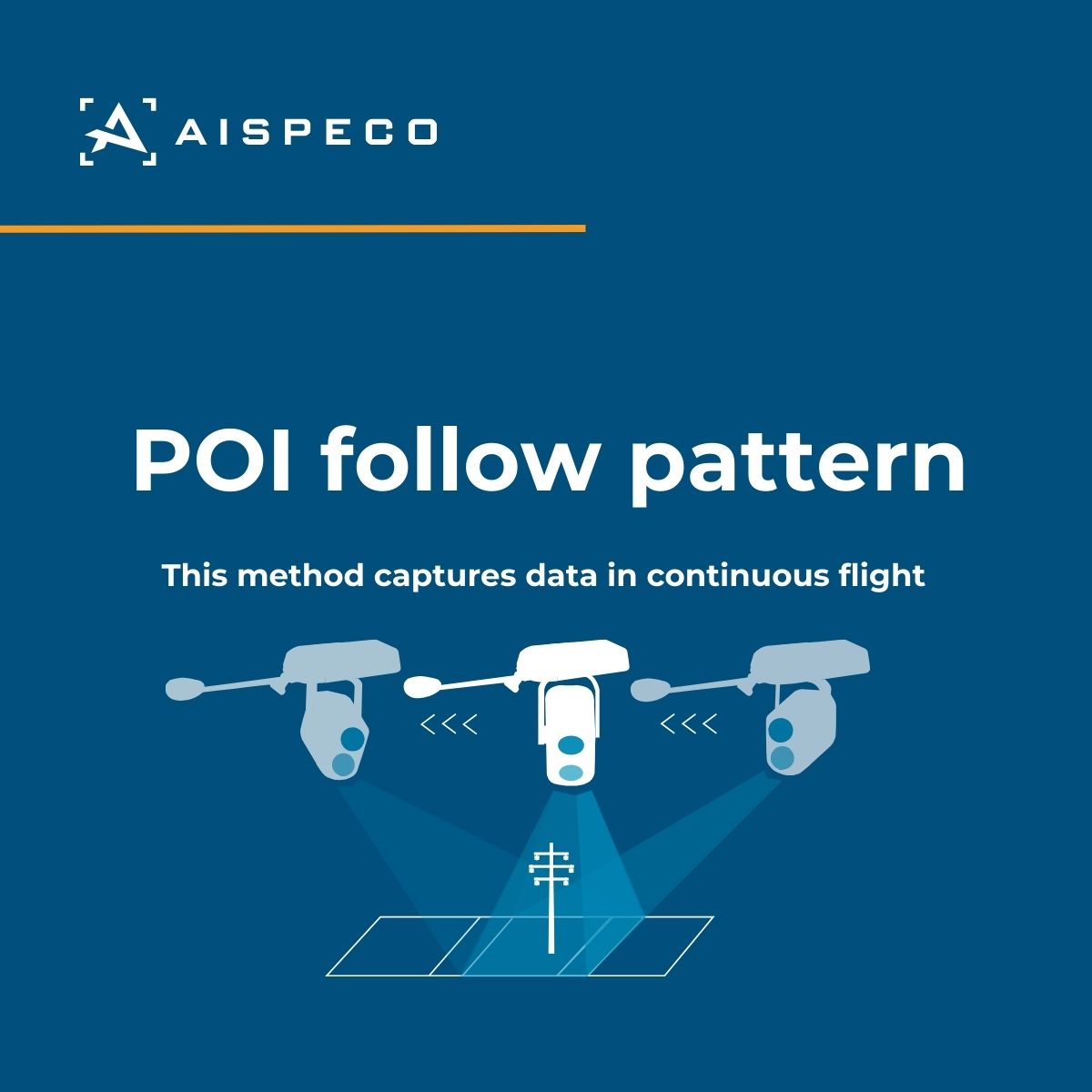
Our AI-controlled gimbal for light aircraft is here to revolutionize data collection methods, including the POI follow pattern. This method captures front oblique,nadir, and back oblique data in continuous flight using a single high-resolution camera. #geospatial#aispeco#gimbal
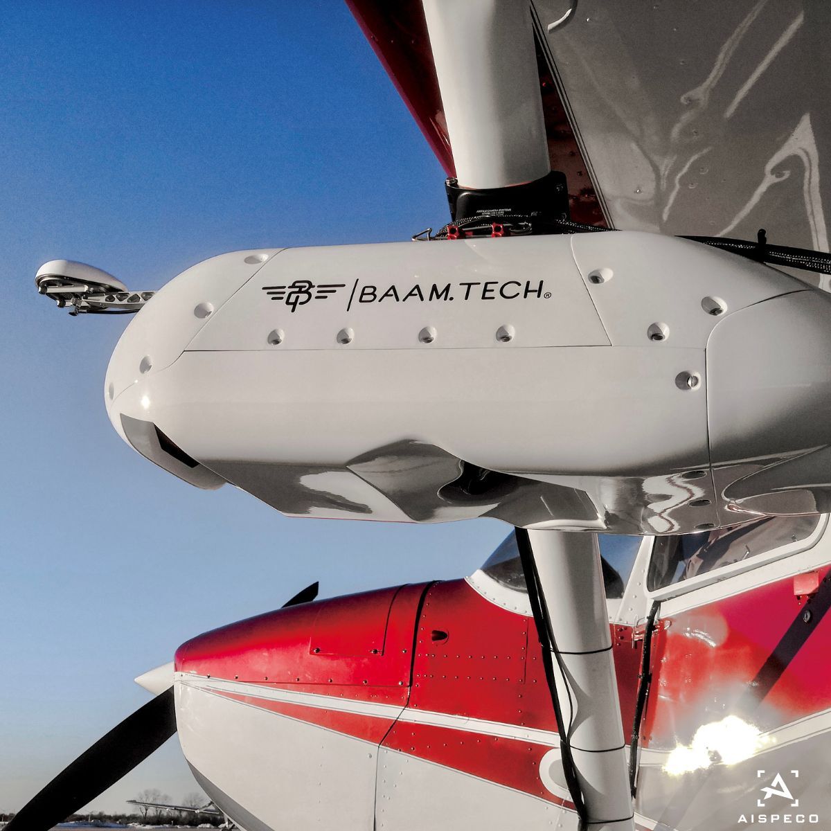
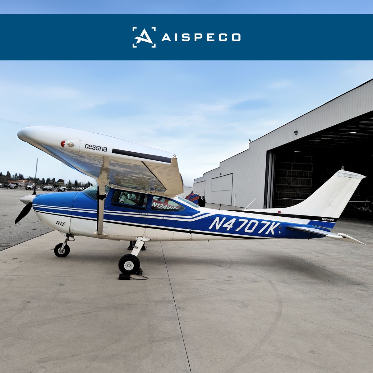
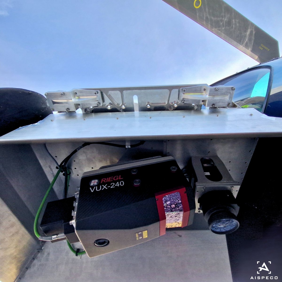
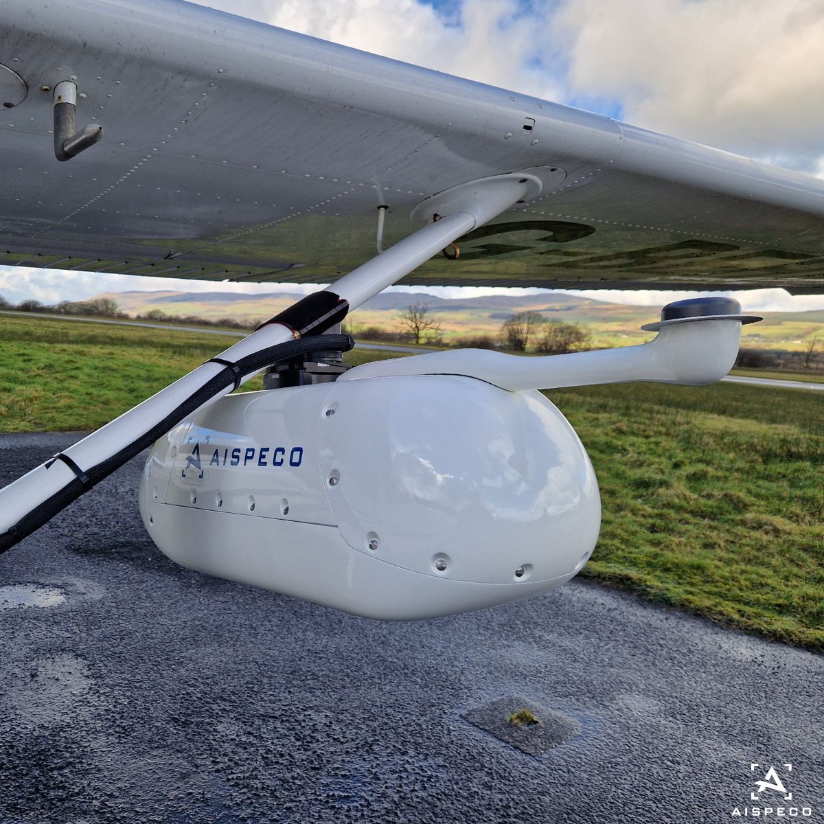
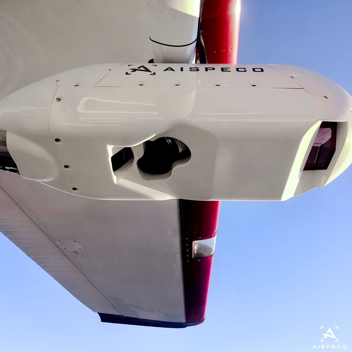
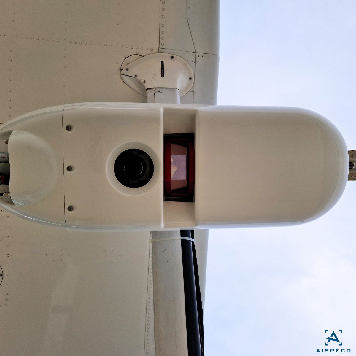
#AISPECO data-collection system mounted on Cessna 182 for both for corridor mapping and area surveys. Equipped with:
•1x Riegl VUX-240 LiDAR scanner;
•2xSony Alpha 1 camera;
•Phaseone iXM-GS120 camera;
•Applanix AP+50 GNSS and IMU positioning system; #geospatial
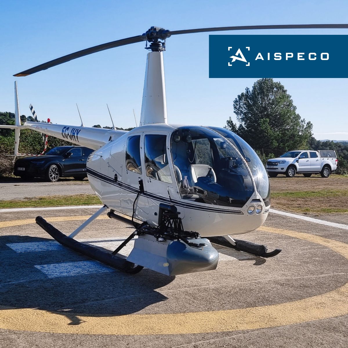
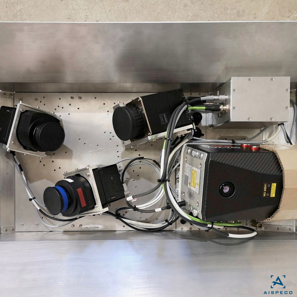
AISPECO’s mix & match system allows customers to install various camera, sensor, and LiDAR setups at different angles, enabling them to customize their configurations to meet specific project needs. #geospatial#aispeco#mixandmatch
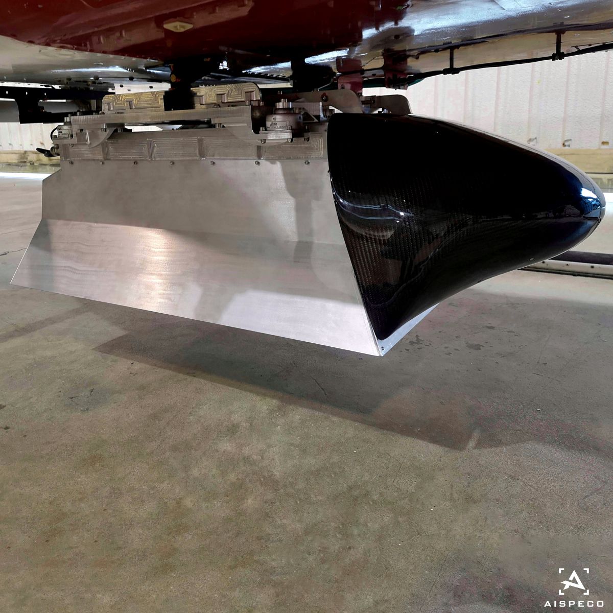
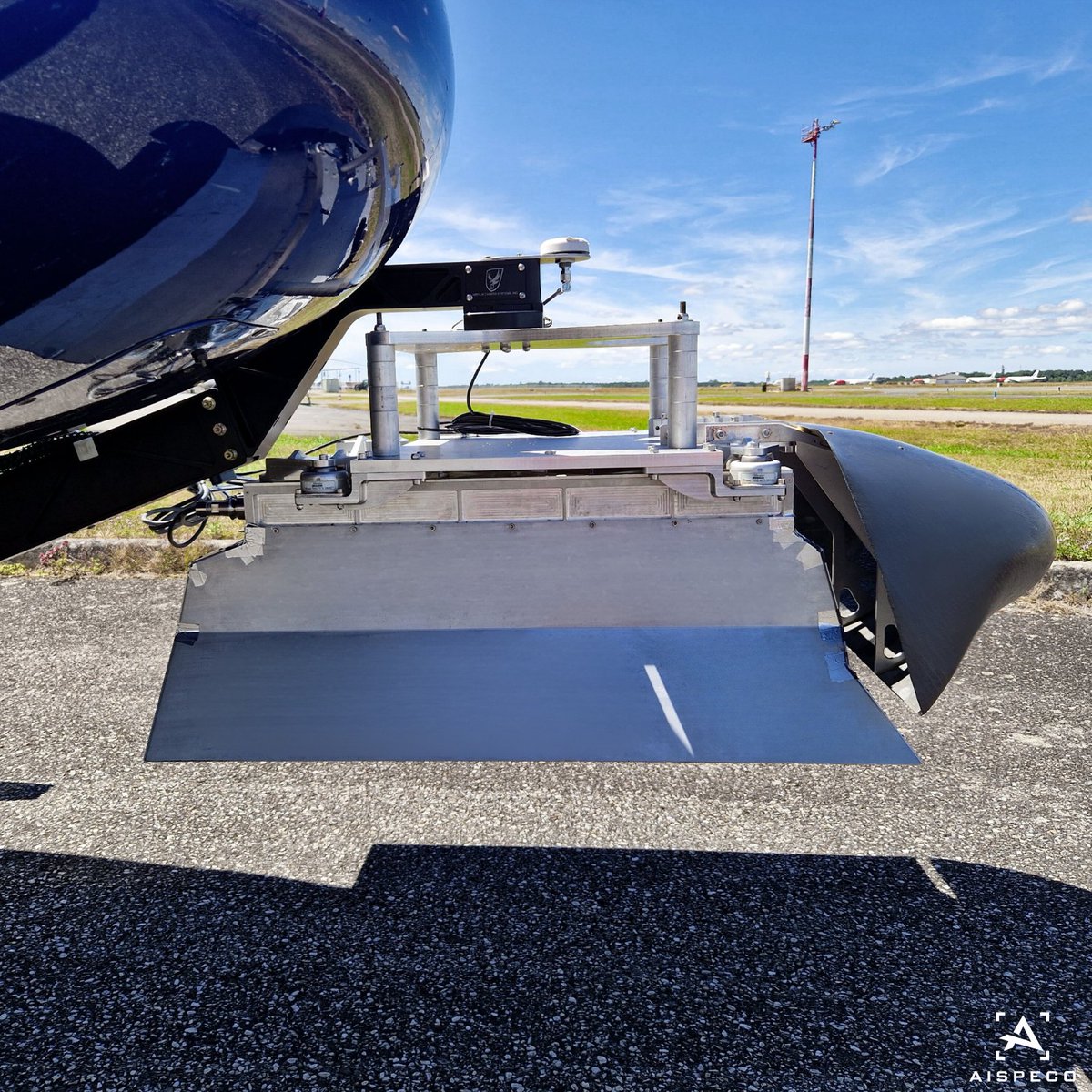
Dual pods offer exceptional versatility and efficiency, accommodating up to five sensors per pod without extensive modifications. This unique setup, along with stabilized camera and LiDAR options, positions the pod as the market leader in comprehensive data collection.#geospatial
Discover why #AISPECO systems excel for #forestry application:
•4-band and hyperspectral options are available, working in sync with LiDAR in the same flight;
•Low-cost LiDARs with entry-level IMUs can be fitted;
•Multiple aircraft/vehicle options available.
#geospatial
Discover why #AISPECO systems excel for #citymapping application:
•Versatile platform mounting;
•Exlusive gimbal solution available;
•Flexible lidar options;
•Oblique cameras can be fitted in variety of patterns.
#geospatial
Here are some benefits why #AISPECO systems excel for #pipeline application:
•Exclusive gimbal solution available for light aircraft
•Multiple sensor options to match any accuracy requirement
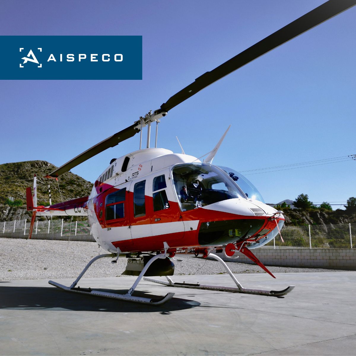
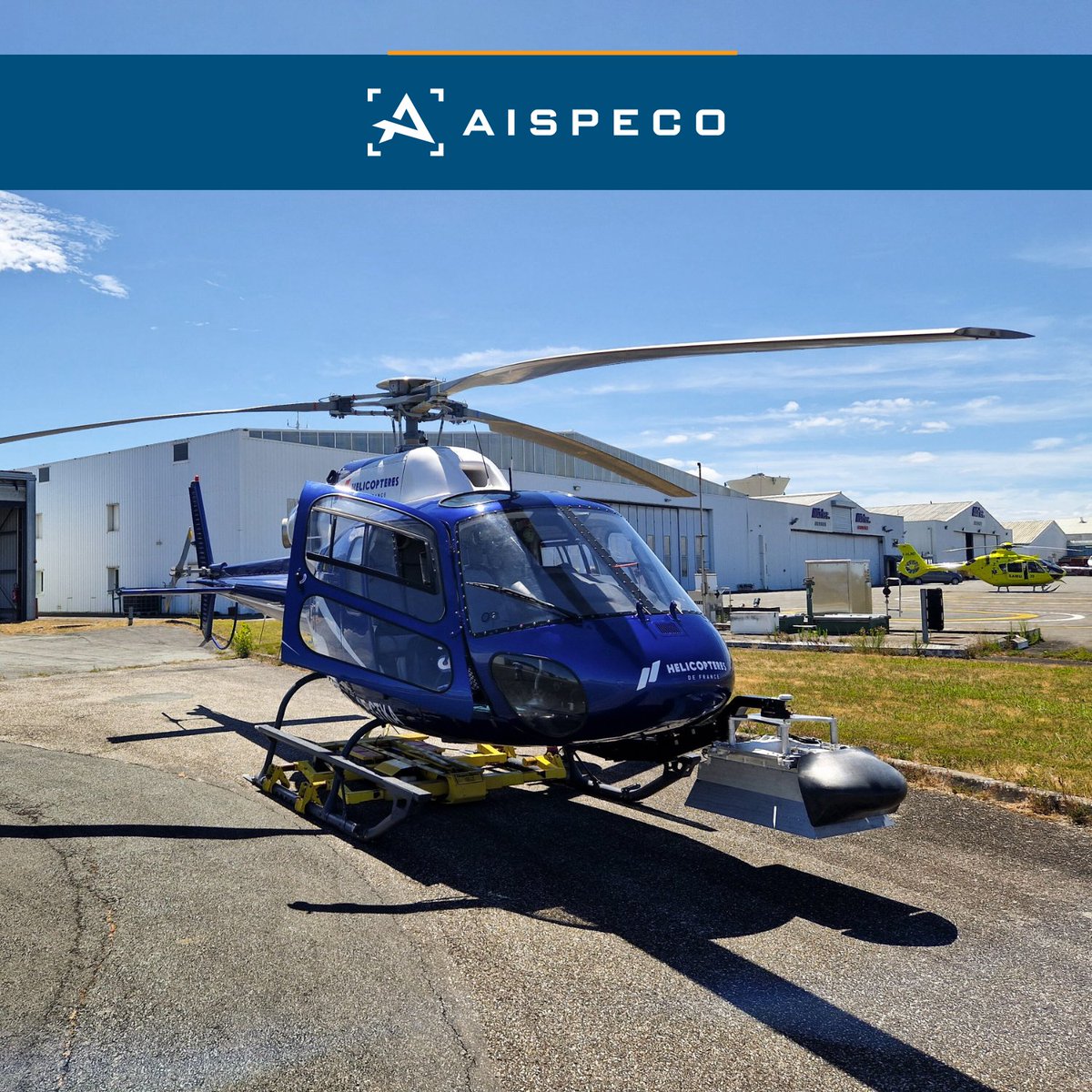
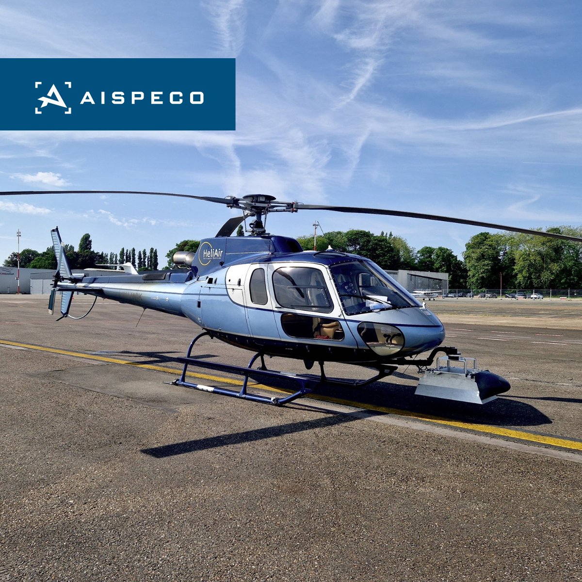
•System is compatible with multiple helicopter and airplane types
#geospatial#survey
Let's take a look why #AISPECO systems excel for #powerline application:
•Easy mounting of multiple LiDAR and cameras at various angles
•4 band options
•High-zoom obliques can be mounted at various angles
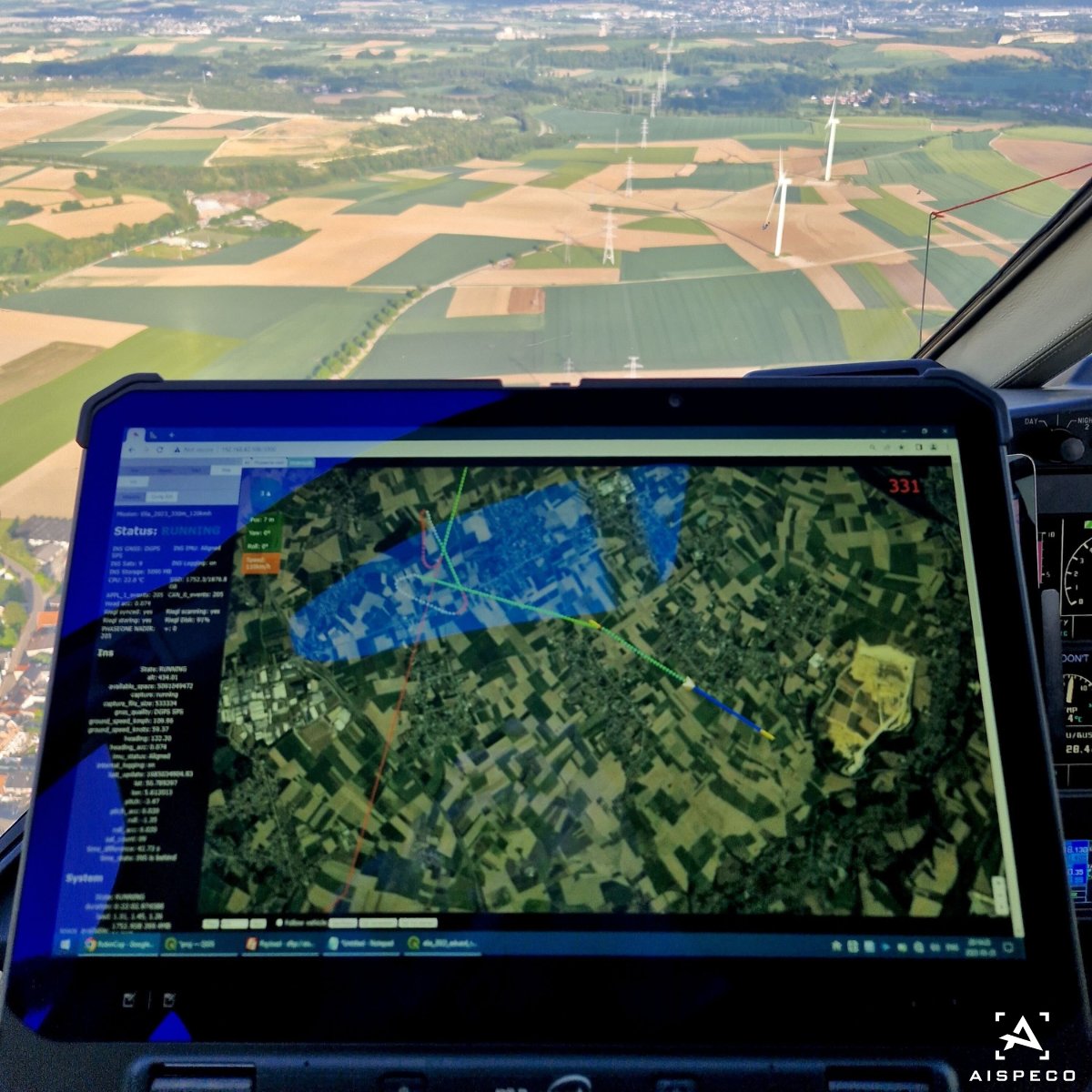
•AISPECO FMS is optimized for corridor mapping and oblique flights
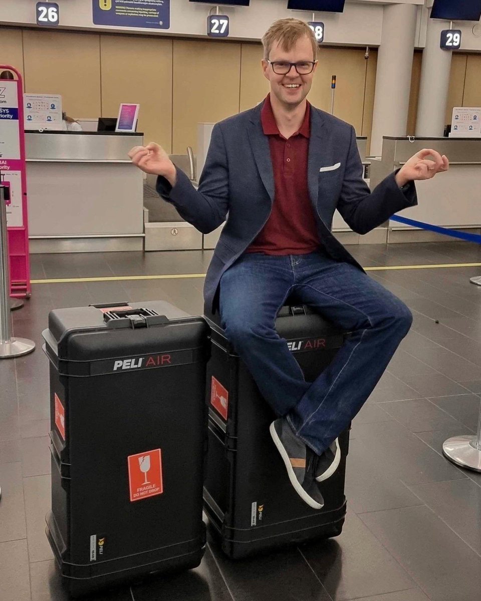
AISPECO systems can be conveniently packed into custom-made pelican cases that meet airline luggage requirements, allowing users to travel together with the system and confidently bring it on business trips, fieldwork, or installations. #AISPECO#geospatial#pelicancases