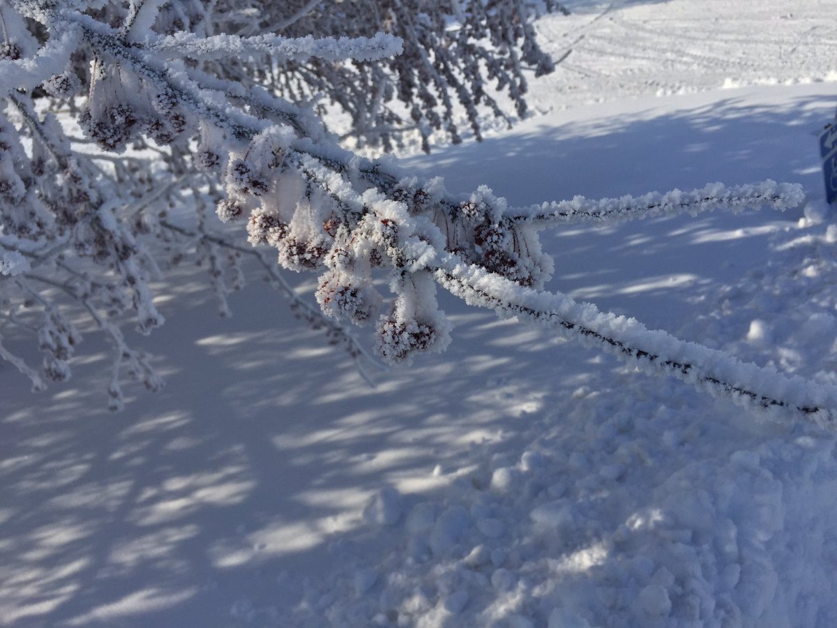
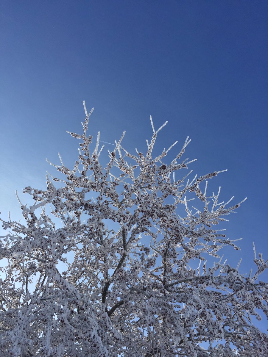
Rime ice in Boone County this morning. Visibility varies greatly from <1/4 mile to full sun and several miles in short distances on Highway 17. #iawx@NWSDesMoines#ThisIsIowa
Nice time at Brushy Creek Honor Flight meal with family for dad’s upcoming flight.
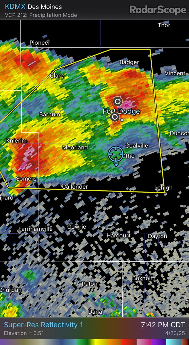
Now, heading south away from hail with @1809Design… Hwy 169 and US 20 just south of Fort Dodge looking west toward right split storm. #iawx@NWSDesMoines
@iowastatepatrol Troopers in western Iowa are reporting and assisting with multiple crashes and vehicles in ditches due to rapidly forming icy conditions. When they say it's not good out there and to stay off the roads...then it's not good out there!
Park Fire in California appears to intensify this afternoon in 3 hours of GOES-West 1-min GeoFire Imagery. Hot spot gets hotter and expands, smoke plume thickens and develops pyrocu. Large burn scar is also obvious.
More: https://t.co/UoRR56xNeq
Survey team has returned to the office and determined that an EF-1 tornado passed across Urbandale, Windsor Heights, and Des Moines last evening. #iawx
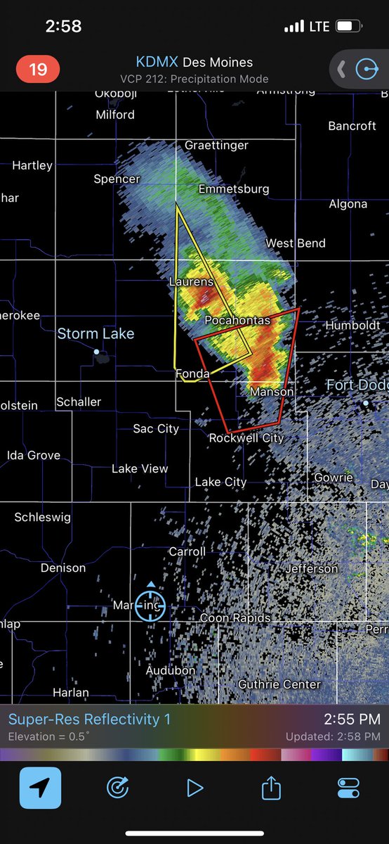
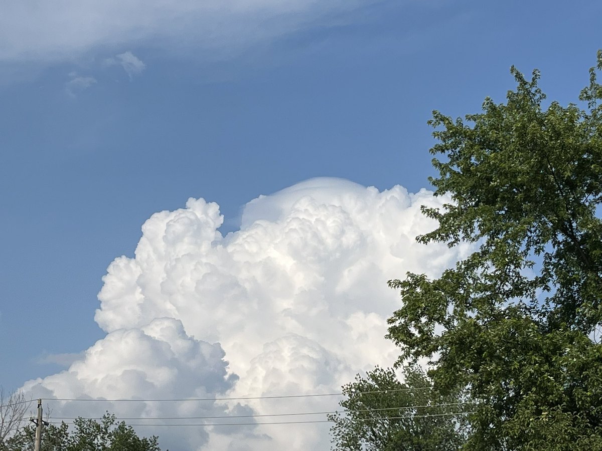
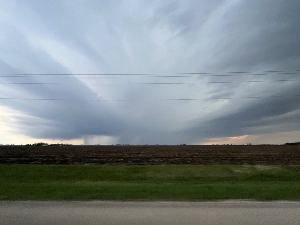
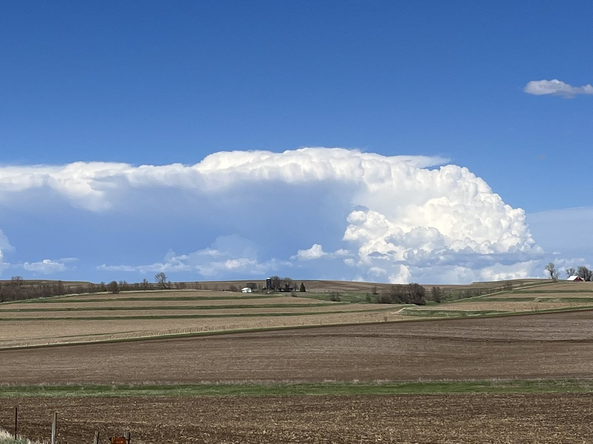
Returning from western Iowa with a view of the cumulonimbus cloud associated with the tornado warned storm in Calhoun/Pocahontas Counties from Highway 141 just east of Manning, IA. #iawx@NWSDesMoines
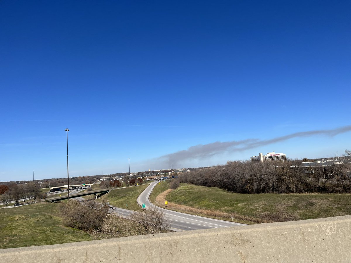
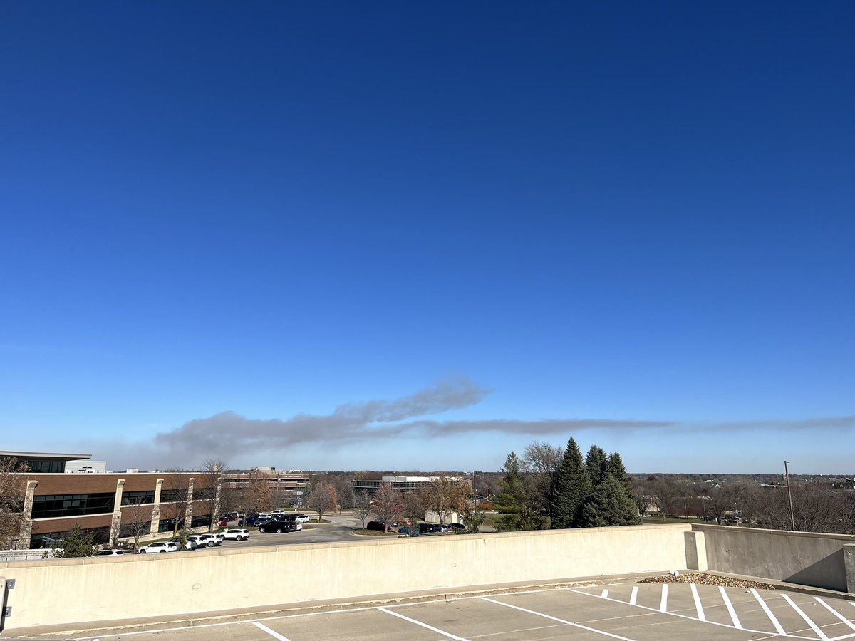
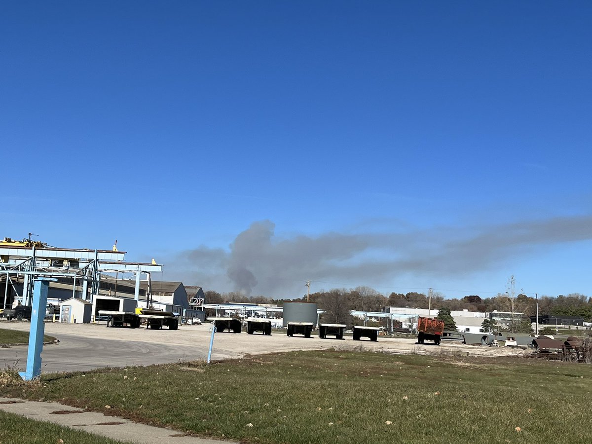
Additional photos of a prescribed burn. Looks like a new smoke plume in the first photo and then wide views of the entire plume from the Westown Pkwy 35/80 overpass.
#iawx#firewx#rxfire@NWSDesMoines
Additional photos of a prescribed burn. Looks like a new smoke plume in the first photo and then wide views of the entire plume from the Westown Pkwy 35/80 overpass.
#iawx#firewx#rxfire@NWSDesMoines
Smoke plume from a prescribed burn on the northwest side of Des Moines. Can see the mixing height and prevailing transport wind direction.
#iawx#firewx#rxburn@NWSDesMoines
Smoke plume from a prescribed burn on the northwest side of Des Moines. Can see the mixing height and prevailing transport wind direction.
#iawx#firewx#rxburn@NWSDesMoines