GEOCODE MASTERCLASS FIRST ONLINE SESSION
Friday, 23 Oct · 02:00–04:00
Google Meet joining info
Video call link: https://t.co/zaBOX5iSQ6
Or dial: +27 10 823 0819 PIN: numbers: https://t.co/cWjcS4B77m
🚀 Haven’t registered yet? This is your reminder to secure your place and be part of the learning experience!
🔗 Register here: https://t.co/d0RY2wENid
8/9
This work was made possible by teams from the Ministry of Lands, the National Land Information Centre, and the University of Zurich — including Jimmy Alani, Joseph Mivule, Martina Jakob, @cissynkiyaga, Aditya Kapur, Jack Skelley, and other well wishers.
9/9
This evidence strengthens Uganda’s land policy direction — giving government, researchers, and citizens a clearer, data-driven understanding of how land is owned, used, valued, and transformed.
More insights will follow as the analysis continues.
Uganda marked its 63rd Independence Anniversary in Perth, Western Australia today, and the Permanent Secretary of @ministry_lands, Mrs. Dorcas Okalany, led the Ugandan delegation.
Uganda has officially pitched to host the #FIGWW2029 in Kampala, going head-to-head with Halifax, Canada! The bid was presented at #FIGWW2025 in Brisbane by Amb. Patrick Guma Muganda and Mr. Daniel Kalekyezi, and was warmly received—final results pending.
During the forum, the Chief Government Valuer Mr. Gilbert Kermundu highlighted Uganda’s progress in valuation and transparency, focusing on the Property Transaction Register. His presentation attracted top professionals who commended Uganda’s efforts to professionalize the sector.
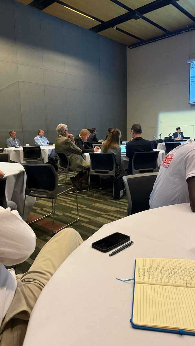
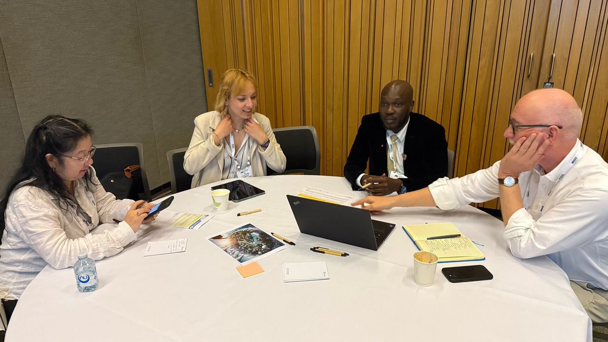
The International Federation of Surveyors Working Week (FIG WW) is an annual conference hosted by the International Federation of Surveyors and is a global event which brings together surveyors from all across the globe to deliberate and give insight on surveying and geospatial data with the aim of building collaboration, and fostering innovation.
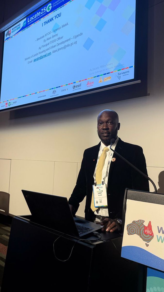
Day 2 of the FIG WW 2025; Alani Jimmy the Ag. Principal IT Officer presented how the Uganda National Land Information System (UgNLIS) is being leveraged to support climate change prediction and land use analysis.
He explained that Uganda faces growing climate risks such as erratic rainfall, prolonged dry spells, and rising temperatures—with rainfall ranging from 800 to 2,000 mm annually and temperatures between 16°C to 28°C. Over 80% of land is held under customary tenure, often undocumented, complicating effective land management in a rapidly urbanizing country.
Jimmy emphasized that UgNLIS, which holds data on over 307,000 land parcels and 131,000+ transactions, offers a spatial platform for assessing land use, tenure patterns, and climate dynamics. A pilot study in Busiro, Wakiso District revealed built-up areas increased from 40% to 60% between 2016–2022, while agricultural land and scrubland declined. Parcel subdivision rose from 7% to 9% in recent years, with a trend toward development or land use change.
Projected climate scenarios showed rainfall could decrease by up to 15% in central Uganda (RCP 8.5), while temperature increases could reach 2.5°C by 2060. These insights, when combined with land data, offer valuable input for climate adaptation planning.
Jimmy concluded that secure land tenure and planned urbanization are linked to better climate resilience. He called for enhancing UgNLIS capabilities, increasing technical capacity, integrating policy, and raising public awareness to drive sustainable land management and climate-smart development in Uganda.
Honored to present at the World Bank Land Conference on how Uganda’s Land Information System can support climate prediction. A great platform to show how data-driven research can shape policy and strengthen land governance. #LandConference#ClimateAction#Uganda
Yesterday, at the @WorldBank Land Conference in Washington D.C, Alani Jimmy's presentation showcased how Uganda's National Land Information System (UgNLIS) is becoming a powerful tool for climate resilience. With 76.75% of the workforce in agriculture, land use changes directly impact both livelihoods and climate vulnerability.
The Wakiso District case study revealed new trends. Combining land transaction records with climate data showed temperature increases that could reach 43.6°C by 2050 without intervention. The system tracks how deforestation and urban sprawl exacerbate flooding during erratic rainfall seasons.
What makes UgNLIS unique is its predictive capability. By analyzing land cover changes against historical climate patterns, it helps planners anticipate risks before they become disasters. The system now guides decisions on everything from watershed protection to urban green space allocation.
The research demonstrates how land administration systems can evolve beyond record-keeping to become active tools for climate adaptation - a model other nations might follow.
At yesterday's World Bank Land Conference, Smith Twinamatsiko presented compelling findings on Uganda's digital land transformation. The National Land Information System has revolutionized revenue collection, generating USD 191 million in FY2023/24 alone - a dramatic increase since its 2017/18 implementation. This digital leap has created ripple effects across Uganda's economy.
The real estate sector now contributes 11-15% of GDP, with urban land values appreciating 15-20% annually. Land serves as the backbone of financial systems, securing 70% of all loans and supporting a UGX 2.27 trillion mortgage market. Agriculture, employing 70% of Ugandans, benefits from more secure tenure systems.
However, the research revealed persistent challenges. While digital systems have improved efficiency, women still own only 26% of registered land titles. Customary land rights remain difficult to integrate into formal systems, sometimes fueling conflicts. The presentation called for policy innovations to ensure the digital land economy benefits all citizens equally.
#LandTech #EconomicTransformation #DigitalUganda #LandRights
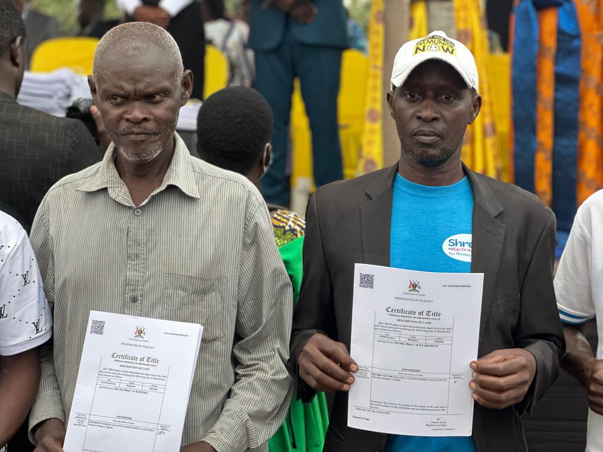
With digital land services now available via the Uganda Land Info System (UGNLIS), and physical services decentralized to Masindi, Hon. @JudithNabakoob1 urged citizens to verify ownership, access services & safeguard their land.
#UGGovt#DigitalTransformation
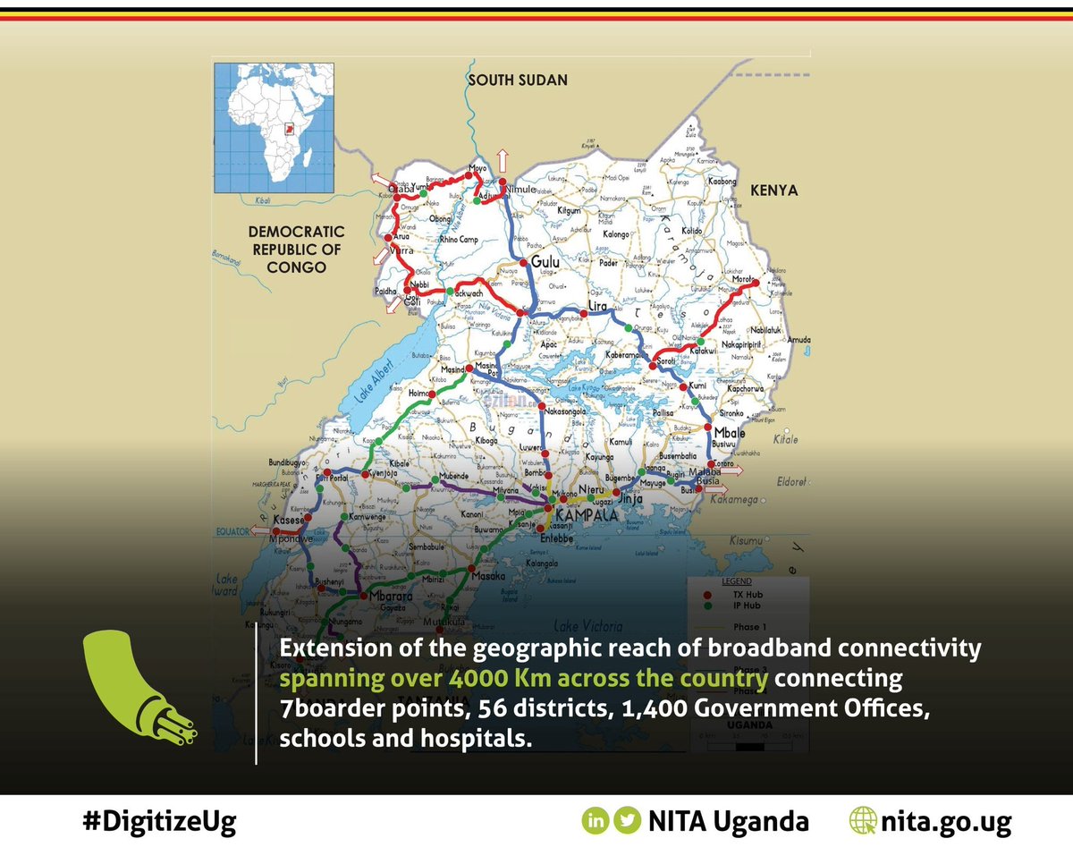
Its been a good year for Uganda's Digital Transformation. #DigitizeUg@NITAUganda1
a) 4000 kms of Optical Fibre
b) 7 Boarder Points connected
c) 56 Districts now connected
d) 1400 GOU offices connected