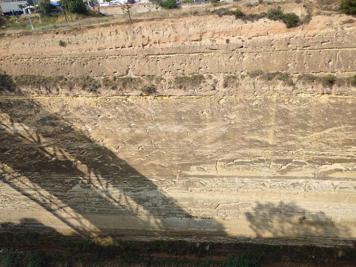
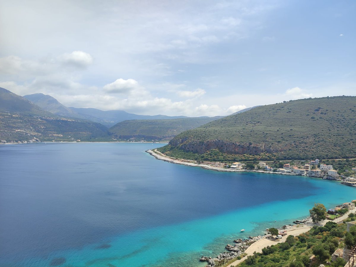
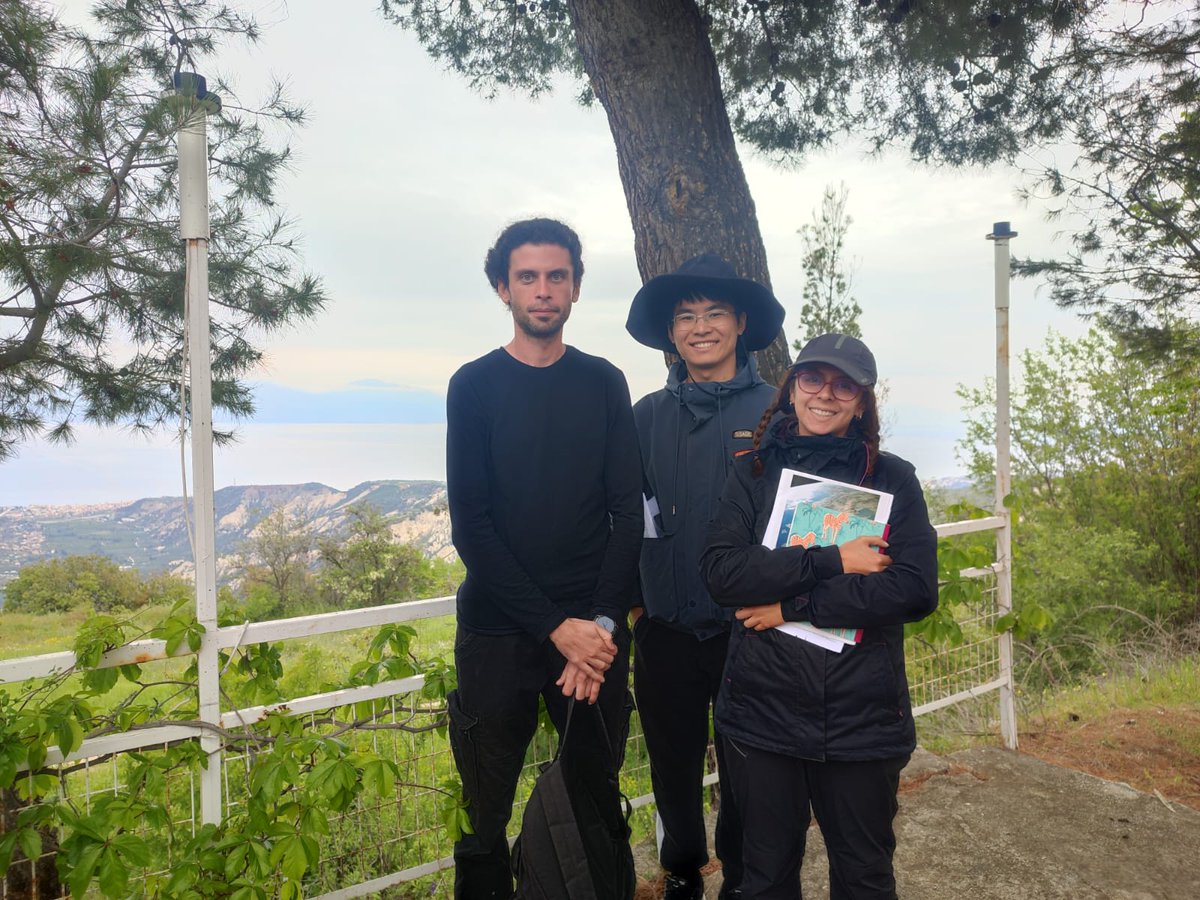
👏CES/CDI/IPGP Field trip
Fault scarps, geological terraces and the whole seismotectonic history of central and south Greece 'exhumed' through the Living Faults expedition in May 2023.
@CES_KAUST cdi @Sjonni_KAUST@ipgp @tedaspiotis @alejandra@jihong@KlingerYann
On May 12, 2023, the #GGOS Coordinating Board accepted the proposal to establish a new GGOS Focus Area on Artificial Intelligence for Geodesy (AI4G), chaired by @b_soja together with Maria Kaselimi 😃 #AI#Geodesy
https://t.co/uSIT0eeoCf
Did you know our free, online textbook https://t.co/byJxnXTvn1 has over 300 lessons? Get started learning R or #python, refresh or sharpen your skills, and work with data at https://t.co/byJxnXTvn1 #earthdatascience#coding
#remotesensing#books
MDPI Books
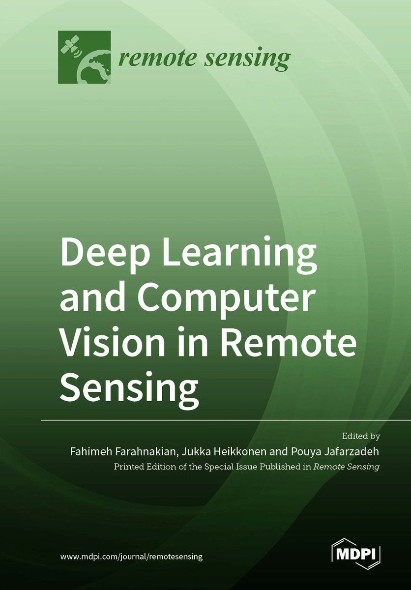
📚 Title: #DeepLearning and #ComputerVision in Remote Sensing
🔗 Download here: https://t.co/DPpffxwXWy
✒Edited by Fahimeh Farahnakian, Jukka Heikkonen and Pouya Jafarzadeh
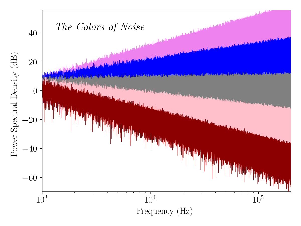
White #noise is often assumed to represent the #random contributions in sensor data. However, in many situations the noise is not white but rather colored. In that case this nice C++ implementation might come handy for your #simulation.
https://t.co/MMxyjCukiH
A significant sequence of earthquakes occurred this week in the Tonga-Fiji subduction zone. First several events at great depths (600+ km) within the subducted slab, then today a very different type of event: a deep compressional outer rise earthquake.
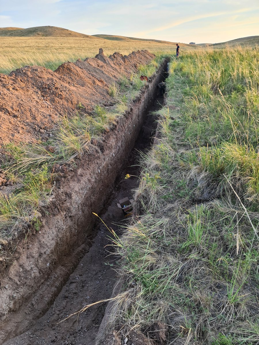
I wrote a new tutorial on how to combine iOS lidar with Structure-from-Motion photogrammetry to make accurately scaled #paleoseismic trench logs. 🚨🚨🚨 🧵
The full tutorial is available here:
https://t.co/qv58lLigt7
For #TsunamiDay, we'd like to announce a new ICG Task Force on "Applications of GNSS for Disaster Risk Reduction." Its scope includes developing policies, research, and operational tools to reduce disaster risks like #Tsunamis. Learn more in next month's "IGS Constellations"💫
The crater lake at Askja is now almost free of ice, but there is still lots of snow on this #sentinel2 image from yesterday. Our cGPS station OLAC still shows steady uplift @Vedurstofan
PhD candidate Andrea Perez-Silva discusses numerical simulations of shallow slow-slip events at the Hikurangi subduction zone https://t.co/cvo9HPd8VI Examples include slow earthquakes triggered by pore-fluid pressure perturbations in the accretionary prism.
Check out Andrea's recent published work:
Perez‐Silva, A. et al. Segmentation of Shallow Slow Slip Events at the Hikurangi Subduction Zone Explained by Along‐Strike Changes in Fault Geometry and Plate Convergence Rates, 2022. https://t.co/LQ0cBESFWH
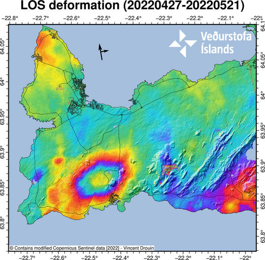
New InSAR! Sill intrusion ongoing. We have now 4-4.5 cm uplift .. We measure roughly 400 earthquakes daily in the area.
(Figure: Vincent Drouin)
@Vedurstofan
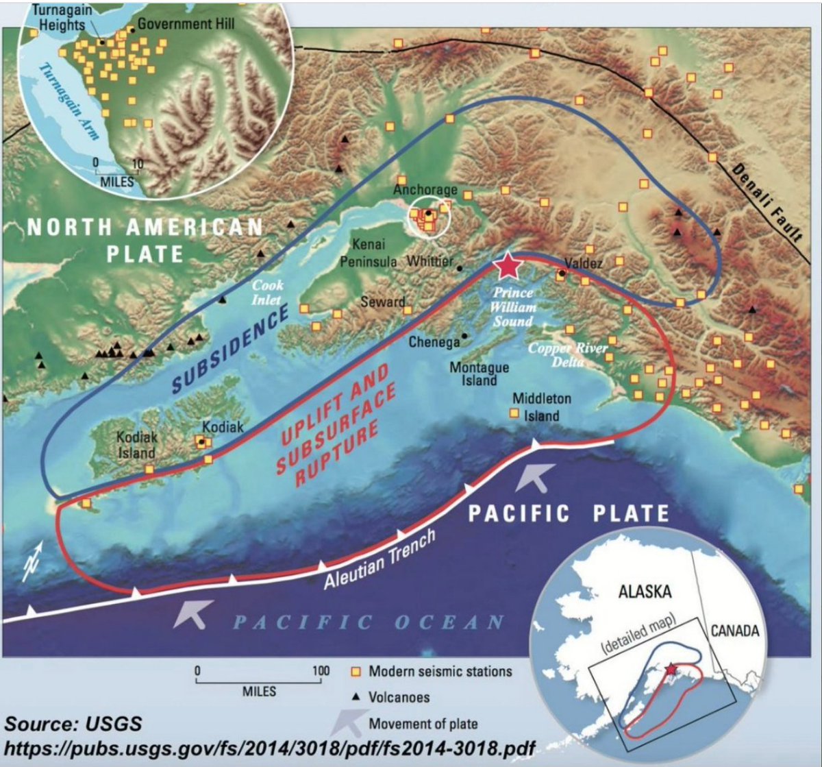
March 27, 1964 - a M9.2 subduction #earthquake struck southern #Alaska. Shaking was felt across much of #BritishColumbia and Yukon and the resulting tsunami caused damage in some coastal BC communities.
More (USGS): https://t.co/ZzCK3ZO3Wz
@IRIS_EPO Video: https://t.co/NqZC1cELJO
NEW: Back on August 12, 2021, a tsunami emerged from close to Antarctica and become the first to reach *three different oceans* since 2004.
The weird thing? It was an orphan: nobody could identify the quake that made it.
Until now.
Me, for @NatGeo https://t.co/hD7A3QmnJs
A is moving away from the satellite (subsidence due to the magma chamber contraction) with B moving faster due to the caldera ring faults (https://t.co/GjHmmCM8u7). C is moving toward the east and up, and D toward the west and up due to the dike that pushes between the two lobes