mixing old projects
-> tracking movement via camera to map an hand of a picture to interact with a map
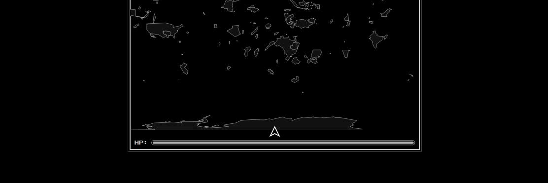
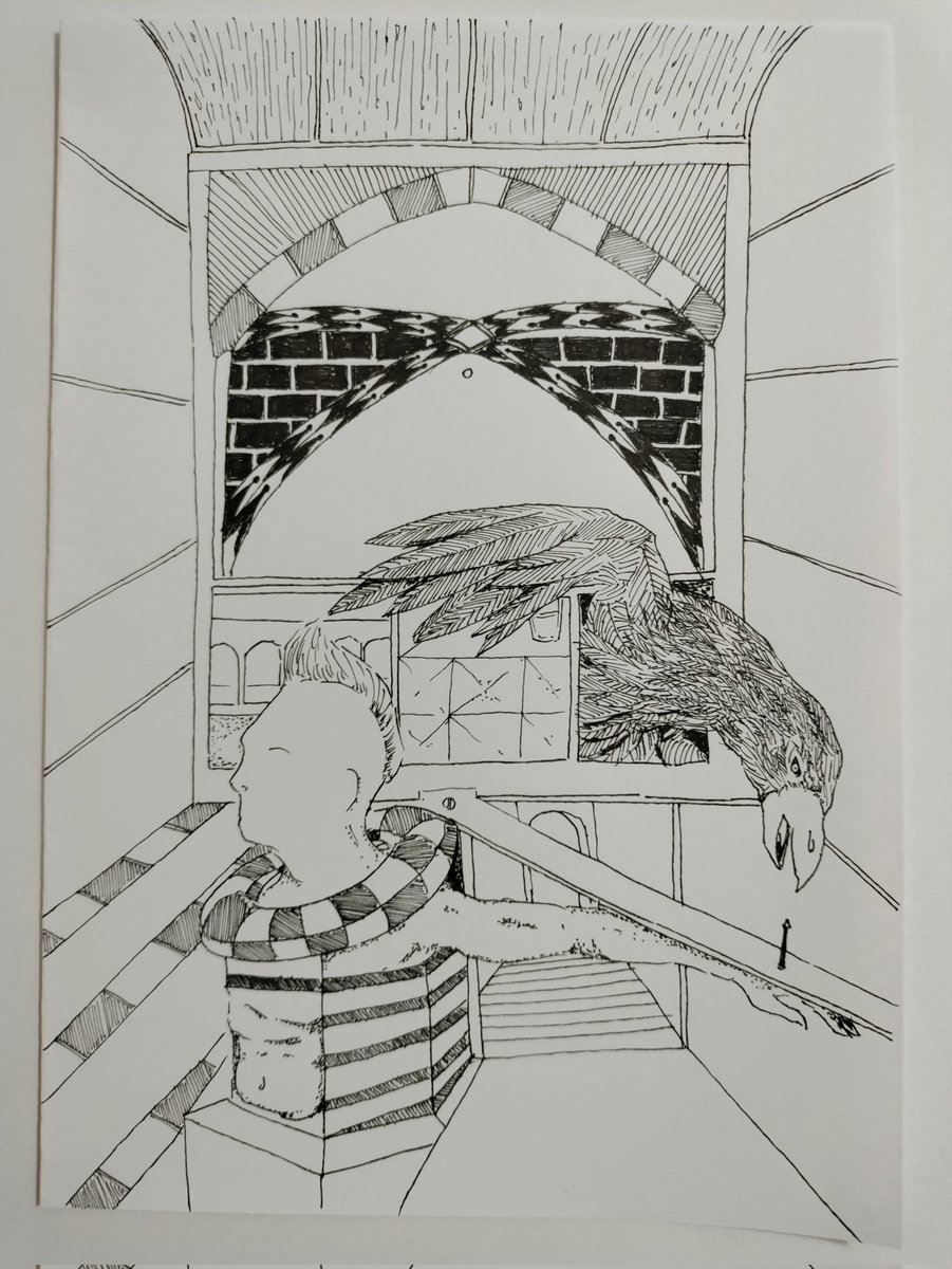
image from @boschbot + map of Italy generated from ETOPO1 data
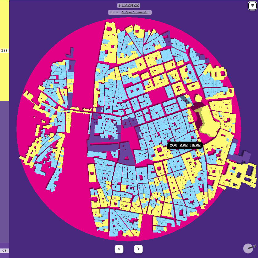
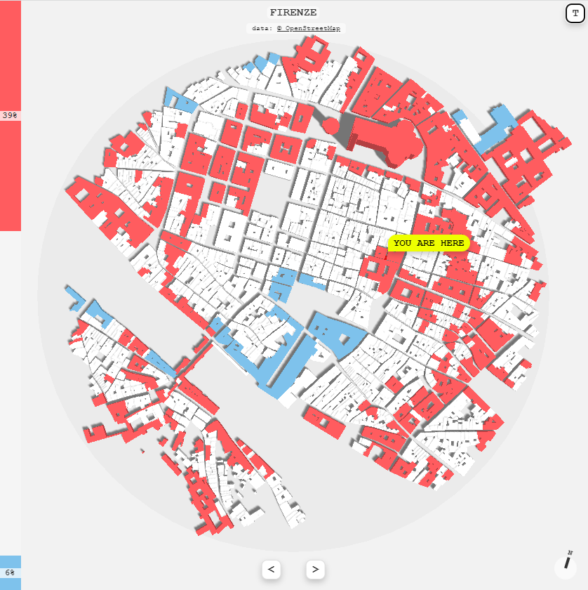
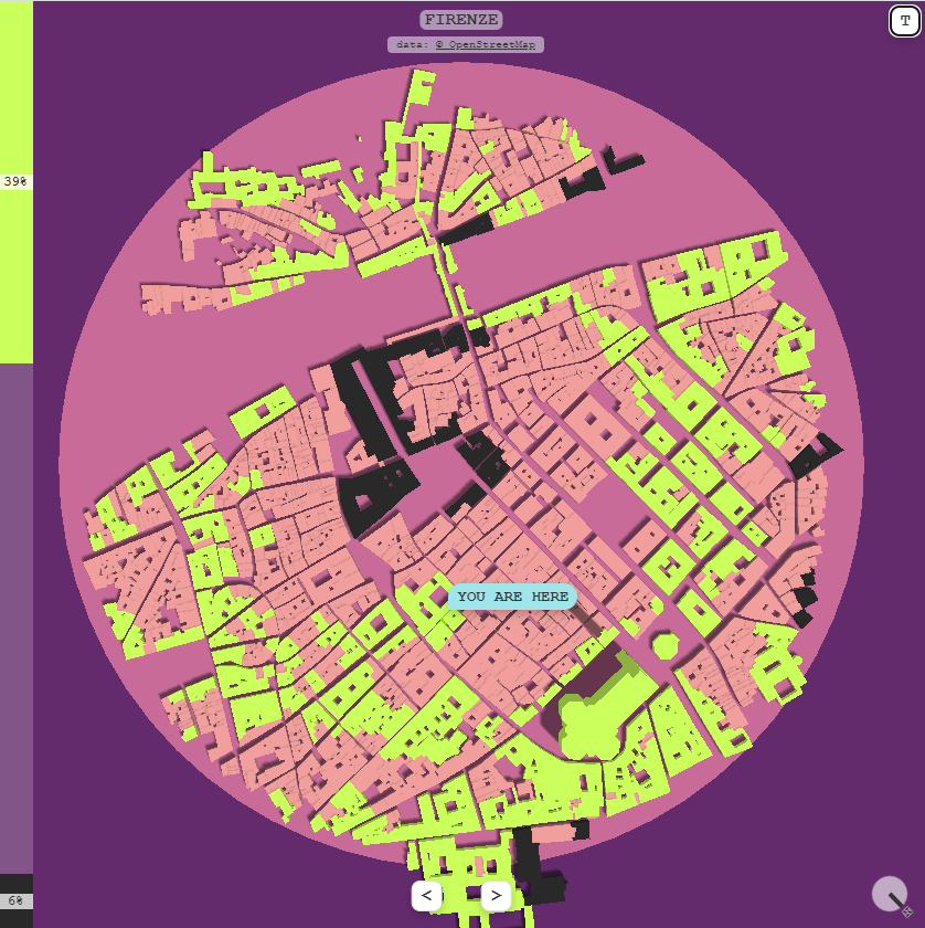
testing "you are here" multiplayers mini game
inputs:
- left arrow: move left
- right arrow: move right
goal:
- color as much buildings as possible
https://t.co/Y9BfyU4eUi
(temporary demo desktop only)
lib: matter.js + three.js + socket
data: OpenStreetMap
@utopiah@threejs thanks! yes, the height data comes from OSM even if some of the buildings had null value for this property
https://t.co/pR8Ra27kM4 .
Also levels property could be useful
https://t.co/Pjkkk6VxwA