Altalis is widely known as the authoritative source for Alberta spatial data, but some of our terrain and infrastructure products support projects beyond Alberta.
📍 Explore Altalis terrain and infrastructure products:
https://t.co/TxJGeP8VNo
Keeping GIS data current should not depend on someone remembering to download the latest file.
Explore Altalis spatial data solutions:
https://t.co/TxJGeP8VNo
#GIS#SpatialData#Geospatial#ArcGIS#FME#Utilities
As part of The Silvacom Group, Altalis is contributing to the development of practical, trusted, and AI solutions that help address challenges while maintaining a strong focus on people, relationships, and informed decision-making.
https://t.co/EB8yckiaFo
Our latest product overview video is now live, featuring the official FortisAlberta Facility Data available through Altalis.
➡️ https://t.co/wEZwwsO89O
Need high resolution imagery for your next project?
Whether you need imagery for a single project or continuous access through your GIS application, the Altalis Customer Success Team can help you find the right option.
https://t.co/xxMNQI7IM1
#Altalis#GIS
Our latest Altalis video highlights the GDM suite of data products, a trusted source for comprehensive and spatially accurate pipeline, facility, and transportation information in Canada.
➡️ https://t.co/4gotL4mUOp
Need a reliable, province wide elevation dataset for Alberta without the overhead of stitching datasets and managing inconsistencies?
We have just released a short video walkthrough of the Alberta Provincial Digital Elevation Model.
#Altalis#GIS#GeospatialData
With four times the resolution and point density compared to our LiDAR15 DEM, this dataset supports applications such as detailed water flow modeling, complex surface analysis, and high-quality 3D visualization.
➡️ https://t.co/HvOWpMGBkW
#Altalis#LiDAR#GIS
The LiDAR15 DEM supports applications such as water flow modelling, surface analysis, and 3D visualization, making it a valuable dataset for engineers, GIS professionals, and environmental analysts.
➡️ https://t.co/kooEVXrcQq
#Altalis#LiDAR#Alberta
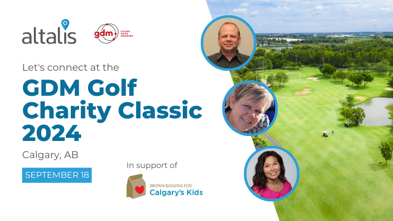
Altalis is a proud sponsor of the GDM Inc. Golf Charity Classic supporting Brown Bagging for Calgary's Kids! 🌈❤️
Alatlis' Jim Chorel, Leah Lilley, and Leanna Chan will tee off for a great cause on Wednesday, September 18, in Calgary, AB.
#Altalis#GDMCharityClassic
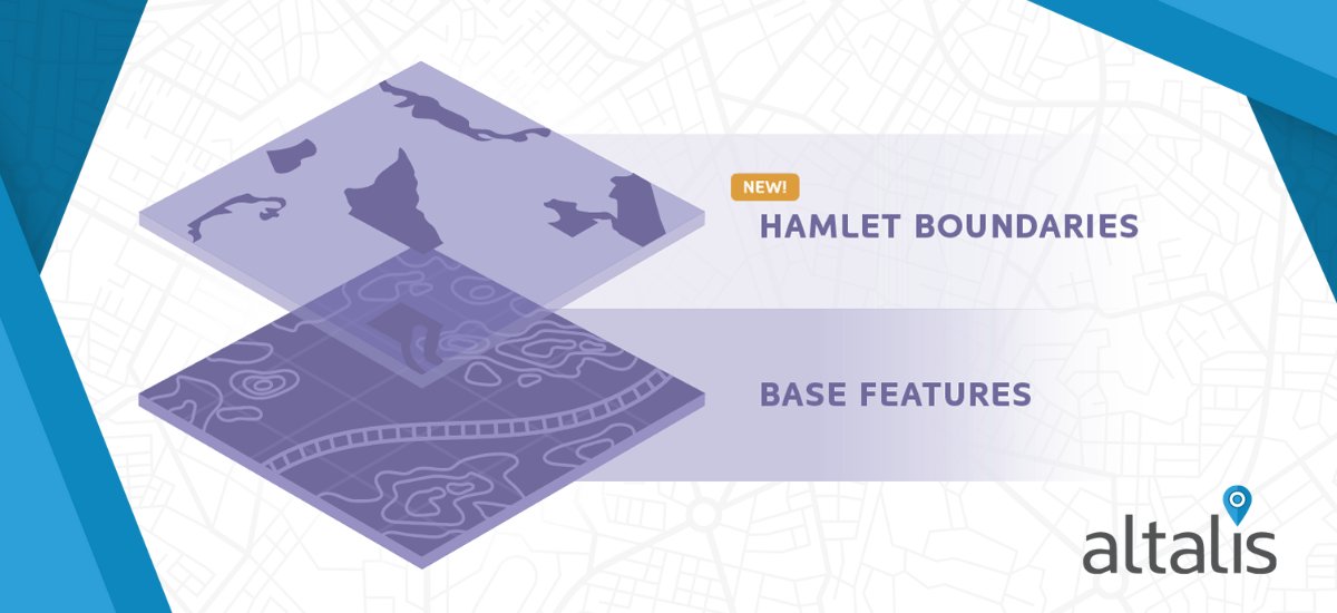
Exciting News from Altalis!
On behalf of Alberta Municipal Affairs, we are thrilled to introduce a NEW Base Feature data layer: Hamlet Boundaries!
View and download this new layer now: https://t.co/AyfhWzrUsZ
#Altalis#GIS#OpenData#AlbertaMunicipalAffairs#HamletBoundaries
The @N51Conference kicks off today in Canmore!
We are a proud sponsor of this event and can’t wait to engage with geospatial experts from across the industry.
See you there!
Just one more week until the @N51Conference kicks off in Canmore! We are thrilled to sponsor this amazing industry event and can't wait to participate in discussions around innovation and advancements in geospatial technology. See you there! #North51
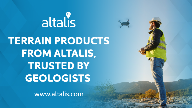
Geologists use DEM to create 3D models, which enhance the visual impact of landscape surfaces, improve accuracy, reduce costs, and increase safety.✔️
Visit https://t.co/iIBkMkVKXE to view Altalis terrain products.
We’re excited to announce Enhanced Title Mapping is NOW available to Geomatics Service Providers working for Utility, Pipeline, and organizations requiring emergency response plans to operate in Alberta. View ETM here: https://t.co/OveWH5okq6
Merry Christmas and a Happy New Year from the Altalis team!🎄 Thank you for your unwavering support throughout the past year. We are excited about the opportunities ahead and can’t wait to continue delivering high-quality data products and exceptional service in the coming year.