Aravind studies vegetation dynamics using UAV-based optical and LiDAR remote sensing data by leveraging the power of advanced machine learning techniques.
Thrilled to share our latest publication in Frontiers in Plant Science! 🌱📱
We show how simple smartphone LiDAR and RGB data can be used to estimate leaf nitrogen and shoot biomass in urban crops - making precision agriculture more accessible than ever.
https://t.co/RSVQbBmFlm
Great experience sharing the achievements of the ISURF at IGARSS '24 held at Greece! 🎉 Our in-house developed, fully automatic robotic remote sensing system (24x 7 HSI/MSI, Thermal and LiDAR) is now poised to revolutionize research in phenotyping and crop dynamics. #NTU.
We are hiring ! 1 Postdoc position in forest dynamics and tree resilience to climate change using high resolution #drone -based imagery and #remotesensing of vegetation. Visit https://t.co/eaM5JRphjP or https://t.co/J7oGLvekL0 for more information. #hyperspectral#LiDAR
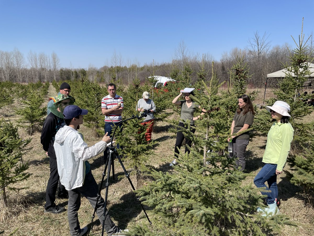
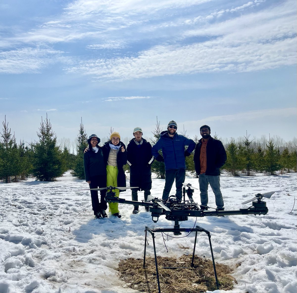
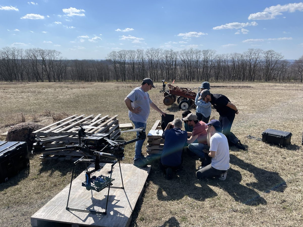
The FastPheno team from the University of Toronto, the Natural Resources Canada, and the Ministry of Ministère des Forêts de la Faune et des Parcs,Quebec at phase one completion meet.
#LatestPaper#remotesensing
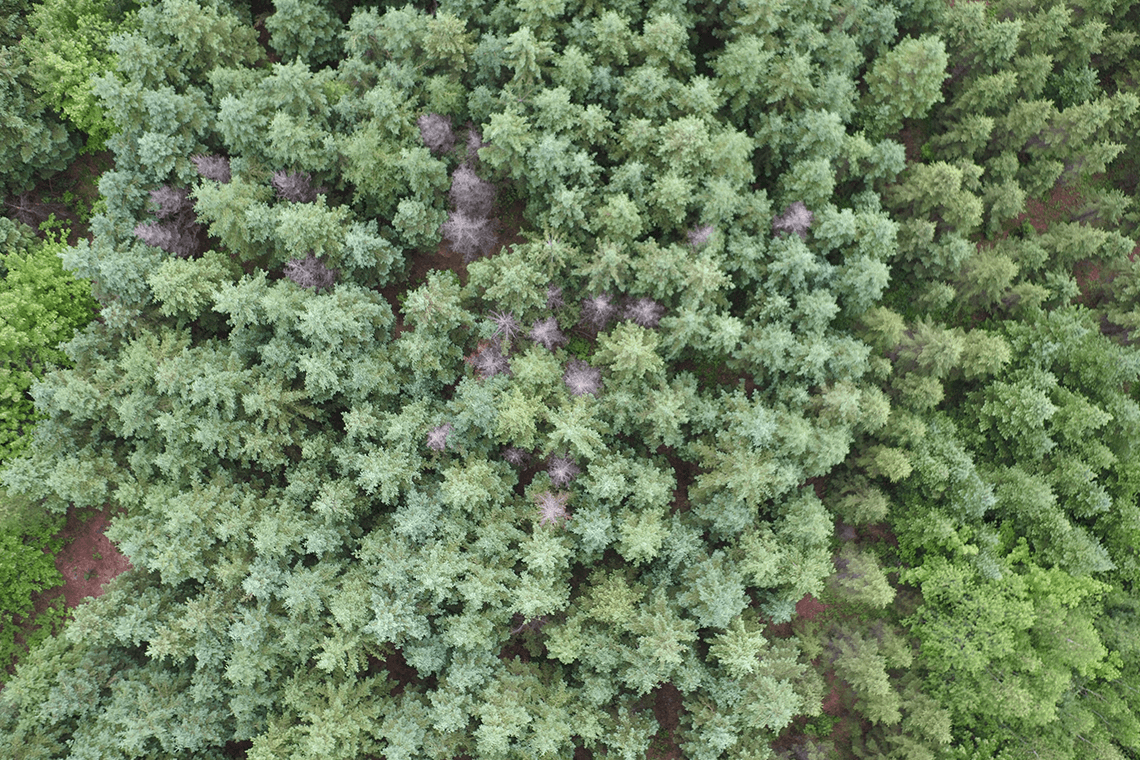
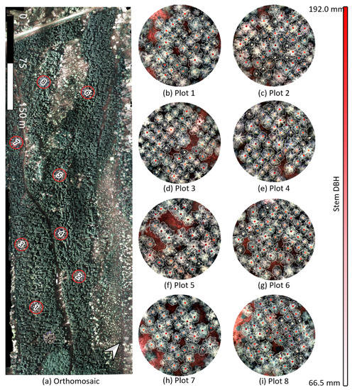
Combining Spectral, Spatial-Contextual, and Structural Information in Multispectral #UAV Data for Spruce Crown Delineation
by Aravind Harikumar, Petra D’Odorico and Ingo Ensminger
https://t.co/bkCUPIAVYQ
Very excited to share our latest research on UAV based individual tree crown detection, delineation, and parameter estimation. #Drone#TreeDetection#VHROptical#RemoteSensing
Please find more details in our Remote Sensing paper:
https://t.co/NFUMCVvGhA
Very excited to share our latest research on 3D tree stem modelling and branch-knot localization using Terrestrial Laser Scanning data!
Please find more details in the IEEE Journal of Selected Topics in Applied Earth Observations and Remote Sensing paper:
https://t.co/dIGSv2eVAl
#MondayMotivation
Check Dr. Aravind Harikumar's paper in IEEE Xplore @IEEEXplore:
Fuzzy Approach to Individual Tree Crown Delineation in Uav Based Photogrammetric Multispectral Data
https://t.co/I8PXzNBqd0
Dr. Harikumar is #PostDoc in @ensmingerlab
🚨 Two days left to register for KSR's Webinar ft Dr. Aravind Harikumar's research: "Mapping Vegetation Traits using Drone Based Remote Sensing Time-series Data"! 🚨
Join us @ 7pm on Feb 25!
Register before Thurs, Feb 25 here: https://t.co/eKqYRjwR1m
Will a reprojection of LiDAR remote sensing data help in improving structural information extraction from individuals trees in multilayered forest, and accurately predict the species? Yes! Our new article explains how!
https://t.co/bkLlxM60Wa