It’s out! ArcGIS API for JavaScript was just updated with some incredible new tech - like the stunning flow renderer, heatmaps in 3D scenes, a refreshed editing experience, switching between different spatial references and lots more. Here's the scoop: https://t.co/nNJgbDkW6U
Here is a new Storymap Collection of #LaPalmaEruption teaching resources, including a GIS lesson from @lcgeography
https://t.co/BmXZsaqaAD
It includes stunning high res #drone imagery of the lava flow from @lapalmaopendata plus a selection of GIS based apps #geographyteacher
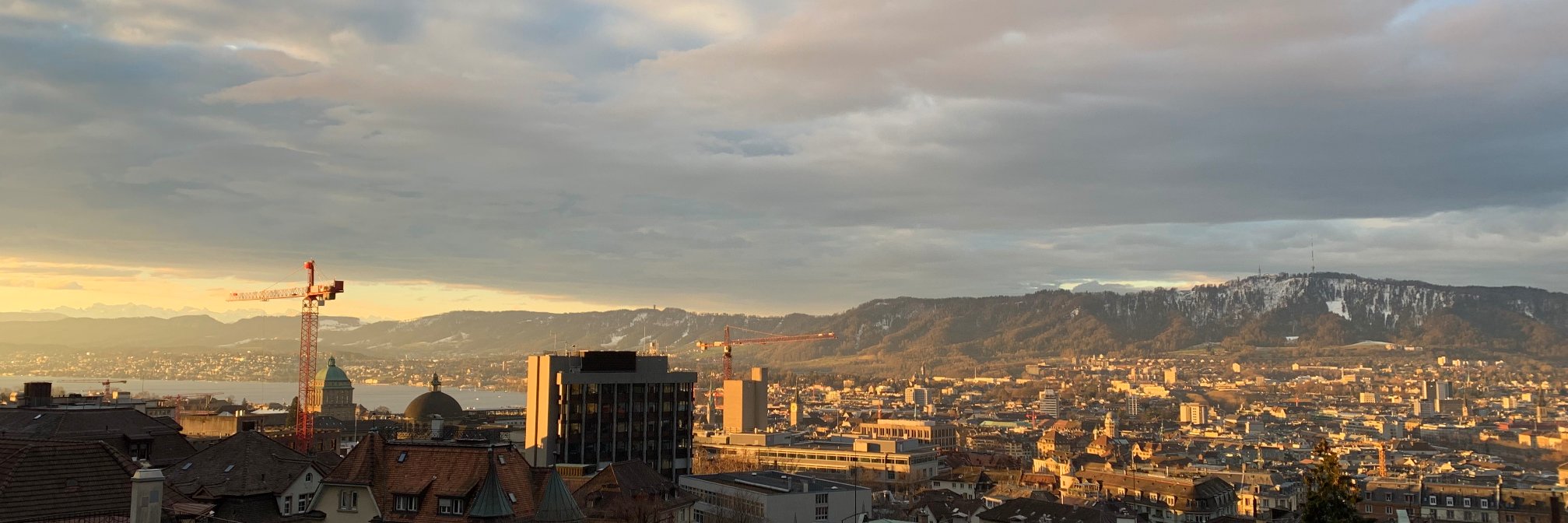
@hugoccampos@hyper_text @ArcGISJSAPI It's using latest swisstopo imagery, elevation is coming in fall according to the @LivingAtlas team:
https://t.co/Pc5ElsfeWu
#3D underground view of the Limmern hydroelectric power station in the Swiss Alps ⚡️ The interactive version is available here: https://t.co/fcWZfwppKQ
Created with the @ArcGISJSAPI #3DWebGIS#WebGL#geodev#JavaScript
@KiefTraining @glTF3D@Sketchfab There are other ArcGIS APIs that provide AR capabilities where you could import the same data, such as @ArcGISRuntime. In the web we would like to tackle it once device/browser support is more reliable.
Upgraded the @ArcGISJSAPI in one of my first apps from version 4.14 to 4.20. Or... 1.5 years of new #3D features and improvements vs. one breaking change!
https://t.co/lShUFwSOZ5
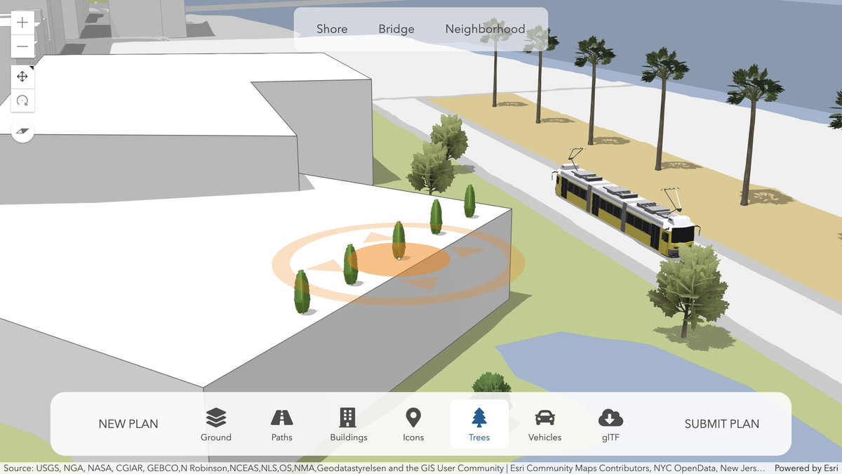
Read more 👇 about the changes in our #CitizenEngagement demo app:
Use the @ArcGISJSAPI to create your next neighborhood in 3D!
I wrote a blog post about the demo app we created for the @EsriDevSummit showing participatory planning: https://t.co/D84jtUC0T5
#esrijs#ArcGIS#WebGL#geodev#JavaScript#3D
Plus I was able to throw out a bunch of custom code in favor of relative-to-scene elevation mode, to place #3D objects on rooftops
https://t.co/eOuPC0k5jk
Try it out with this demo scene: https://t.co/PdFAEtPP8O
(look out for the edit icon in the upper left corner)
Or read more about it in our latest release blog: https://t.co/mmk3mhMidE