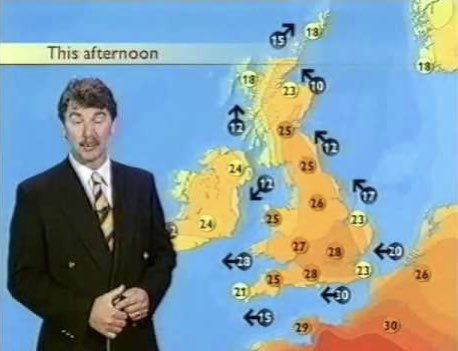
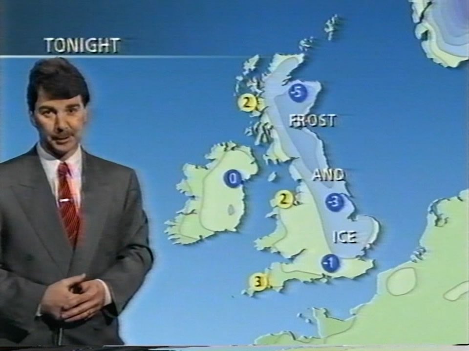
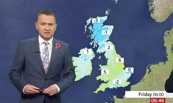
It’s ridiculous how many have become obsessed with this “red map conspiracy”. We used thermal maps 20yrs ago too. There’s red in France to show intense heat in 2000. Even the discs were orange at 25°, now they are WHITE so it’s clearer. Everything looks different. Same in winter!
Sunday Night: 🌙⛈
During this evening and tonight there will be the risk of thunderstorms. In between any thunderstorms though it will be dry with sunny spells this evening and clear periods tonight. Min Temp: 14C
Outlook:
Much cooler on Wednesday but still warm in sunny spells with the odd shower possible too. Variable amounts of cloud on Thursday with the chance of a shower. Cloudier on Friday with more frequent showers perhaps merging into longer spells of rain.
Tuesday: 🌤
There will be some patchy cloud around today and this could produce one or two showers this morning. However, there will also be long spells of sunshine and it will be a hot and humid day. This evening there is the chance of a thunderstorm. Max Temp: 31C
Outlook:
Most of Tue will be dry with long spells of sunshine and it will be hot with temperatures in the low 30s. A lot of uncertainty but more cloud by the evening will bring the risk of thunderstorms although these may not materialise. Much cooler on Wed with lighter showers.
Sunday Night: ☁️ => 🌙
Mainly dry with a lot of cloud during the first half of the night but longer clear spells developing later in the night. A mild night. Min Temp: 14C
Outlook:
After a bright start, cloud will build on Tuesday with the odd spot of rain. Cloudy with outbreaks of rain on Tuesday night. Mainly cloudy on Wednesday and Thursday with occasional light rain or drizzle but it will be humid and it will turn warm in any sunshine.
Monday: (am): ☁️🌧 => 🌦 (pm): 🌦
Cloudy for most of the morning with showery outbreaks of rain. Brighter from late morning onwards with sunny spells developing but with showers expected. A breezy day. Max Temp: 17C