📣 You're invited to Eye On Palestine — a 3-day immersive event featuring the Phoenix of Gaza XR Experience & a screening of From Ground Zero, powerful stories from Gaza.
🗓️ April 17–19 | UCR
🔗 RSVP: https://t.co/whluCoz6ZT
info: https://t.co/CHm2DFrFPX
Had a fantastic time judging at #RoseHack! We reviewed 31 impressive submissions and met talented students from various programs & universities, some traveled all the way from Arizona to compete! #Hackathon#UCR @rosehack_ucr
https://t.co/LPBt5HOBUU
If you have an accepted TSAS paper, consider applying for one of the reproducibility badges through the new track. Not only you will help fellow researchers, but you can have more impact and more citations for your accepted paper
https://t.co/QhS1To0qBQ
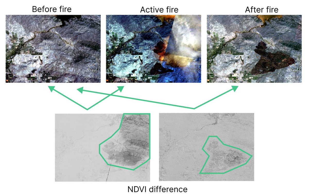
On June 25, multiple fires exploded east of the Sanger area due to lightning. Satellite images captured these active fires, and analyzing the NDVI difference can help predict the affected area. Data source @planet#wildfire#satellite#climate
Employing Landsat 8 data with the Normalized Snowmelt Detection Index (NSDI) at Huascarán National Park vividly shows the accelerating patterns of snowmelt from June 2022 to June 2023. #climate#globalwarming#earth#satellite
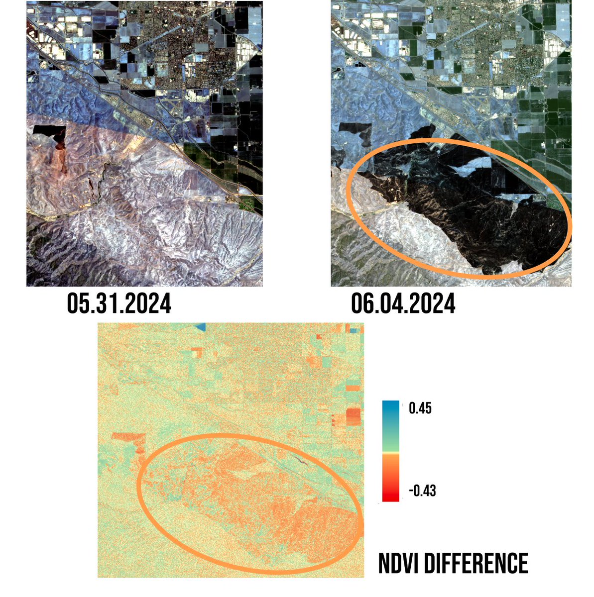
A grass fire started on the afternoon of Saturday, June 1, 2024, in San Joaquin County, California. Satellite imagery reveals the impact of the fire on the fields near the City of Tracy. #wildfire@UCRiverside@UCRBCOE
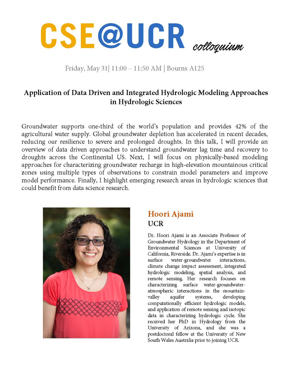
CSE Colloquium: Prof. Hoori Ajami @AjamiHoori from @UCRiverside gave a colloquium talk on Friday May 31 titled "Application of Data Driven and Integrated Hydrologic Modeling Approaches in Hydrologic Sciences" in Bourns A125.
Excited to announce our paper "FUDJ: Flexible User-defined Distributed Joins" at #ICDE2024! 🎉 We introduce a model to implement optimized distributed join algorithms with minimal code. Thanks to Glenn Galvizo for presenting for us! #BigData#DistributedComputing#Database
CSE Colloquium: Prof. Lukasz Golab from @UWaterloo gave a colloquium talk titled "Understanding models and the data they learn from", on Friday May 17 at 11-11:50am in Bourns A125
SIGSPATIAL submission deadline extended by one week. Abstract: May 31, paper deadline: June 7. These are the final deadlines. Looking forward to your submissions and contributions. @SIGSPATIAL_GIS
https://t.co/R1yni6YOoi
Satellite images show how ice melts in Greenland, changing the shapes of spotted lakes. They are also crucial for monitoring the rapid melting of ice at the poles, helping us understand changes on our planet. Data source @planet#climate#satellite#EarthSurface#earthscience
CSE Colloquium: Prof. Faisal Nawab @faisalsyn from @UCIrvine is giving a talk today May 10 titled "Enabling Emerging Edge and IoT Applications with Edge-Cloud Data Management" at 11-11:50am in Bourns A125
From summer to fall, we see a beautiful shift in colors. How do we measure this change? The NDVI (Normalized Difference Vegetation Index) provides a way to quantify the greenness. Check out how it changes with an example from Michigan Tahquamenon Falls State Park! #Michigan
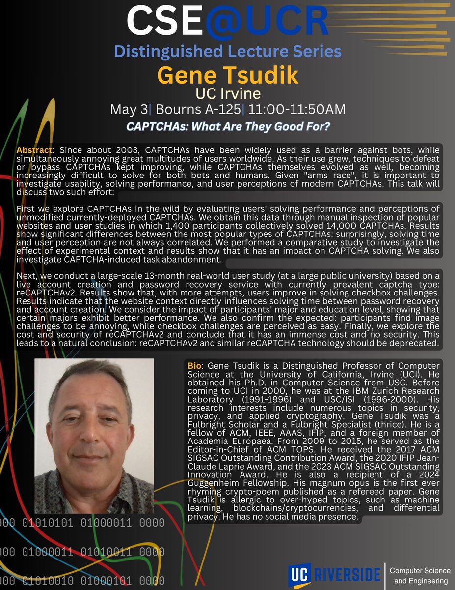
Distinguished Lecture Series: This coming Friday May 3rd, Prof. Gene Tsudik from @UCIbrenICS is giving a distinguished lecture titled "CAPTCHAs: What Are They Good for?" at 11-11:50am in Bourns A125
CSE Colloquium: Osama Hanna from @UCLAengineering is giving a talk today Fri. April 26 titled "Stochastic Contextual Bandits Are Not Harder Than Linear Bandits" at 11-11:50am in Bourns A125.