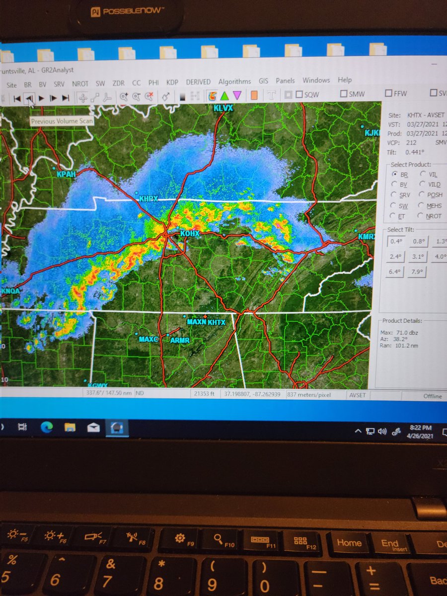
Hello #BlackInGeoscienceRollCall ! I am Mariama Feaster, a 2nd-year graduate student at #UAH. My research thesis involves radar observations on mesovortices embbed in QLCS Tornadoes.
As the subcommittee chair on the @amsbogm, I will be hosting our webinar to cover practical strategies for setting boundaries, managing shift fatigue, and using agency flexibilities to build a sustainable career in government organizations. Join us on October 13th to learn more.
Balancing shift work, severe weather, and demanding projects with personal life is a challenge💪
This webinar explores practical strategies for setting boundaries, managing fatigue, using agency flexibilities, and building a sustainable career.
Register: https://t.co/2rvXB1yEiy
Gusty winds will continue through tonight for central OR up through the Blue Mountains. Wind gusts may exceed 35 mph while the base of the Blues possibly exceeds 40 mph. #orwx#wawx
Heads up for travelers: The Cascades and Northern Blue Mountains are expecting 3 to 9 inches of snow and gusty winds from early Friday morning through Saturday morning. #orwx#wawx
We will see a return to an active weather pattern through mid week, with its impacts most notably over the Washington Cascades. This storm has a 60-80% chance of depositing 5-7 inches of snow through Wednesday at pass levels in the Washington Cascades. wawx #orwx
Moderate snow expected across the Washington and Oregon Cascades through the day today and into the early morning hours on Monday. 5 to 10 inches of snow over the Washington Cascades and 4 to 8 inches of snow across the Oregon Cascades are expected at pass-level. #orwx wawx
Light snow will continue over the Blue Mountains into the early morning hours. Patchy to areas of dense fog will persist into the late morning hours across much of eastern Oregon and eastern Washington. #orwx#wawx
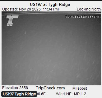
Dense fog has been observed from the webcams in the city of Bend and portions of Route 97 and 20 including Route 197 along the vicinity of north central Oregon with visibility one-quarter of a mile or less. If driving, please slow down and use low beam headlights.
There is a slight chance of lower elevation snowfall Thanksgiving week. Best chances will be across the Grande Ronde, John Day, and the Yakima/Kittitas Valleys Tuesday through Thursday (11/25-11/27).
A wind advisory is in effect for Central and North Central Oregon, the Simcoe Highlands, the Blue Mountain Foothills of Oregon and Washington, and the Lower Columbia Basin of Oregon and Washington today. #orwx#wawx
The pleasant clear and dry conditions will come to an end this weekend, as a frontal system brings in rain along with mountain snow showers. #orwx#wawx