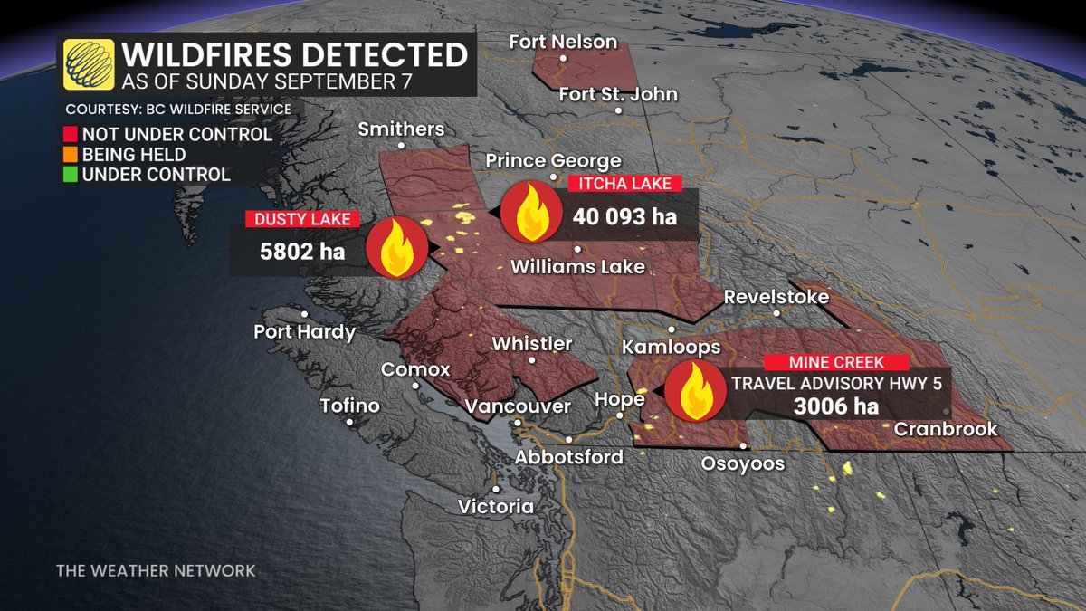
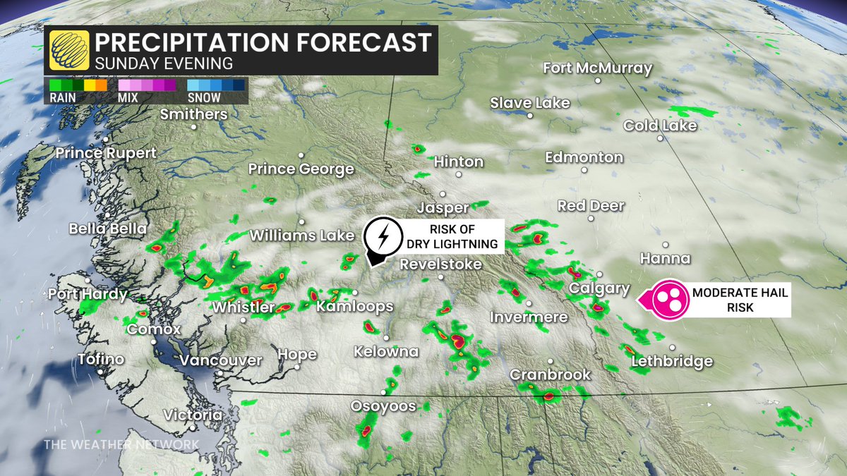
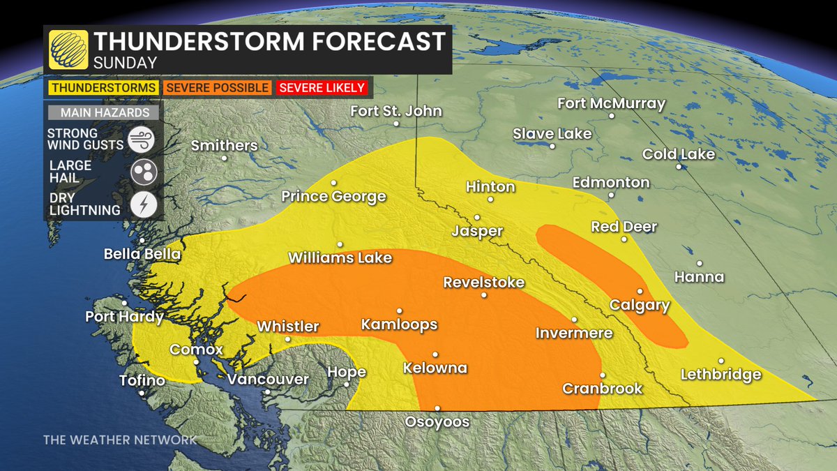
The #wildfire risk is climbing in Western Canada on Sunday as severe storms will be possible across parts of B.C. and Alberta, bringing the threat of strong winds, hail, dry lightning and locally heavy rain. #BCstorm#abstorm https://t.co/7Z5a6TSXDO
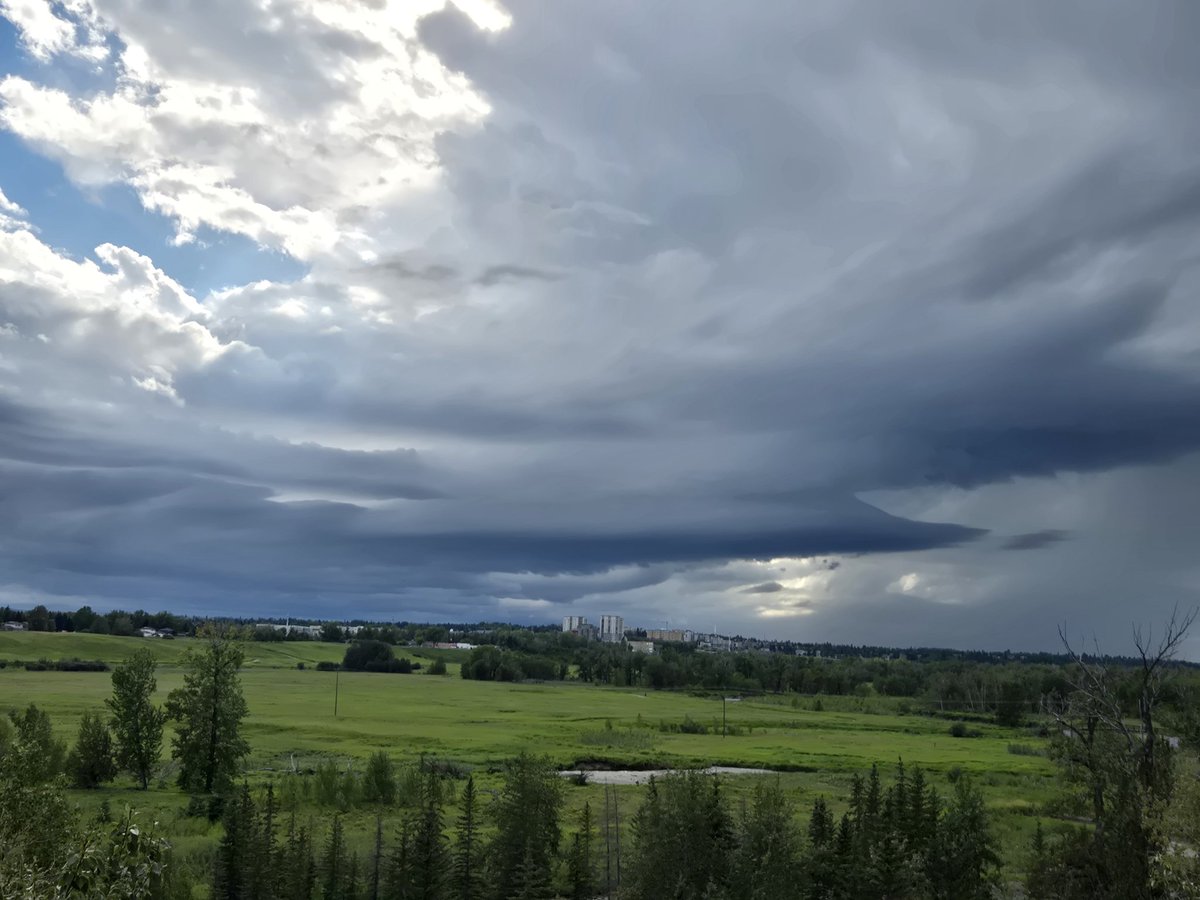
Air quality has slightly improved, but there's an ugly, brown tinge in Calgary today as the sun shines through a thick plume of smoke aloft.
Skies would otherwise be clear, with warmer temperatures than they are. #yyc
Holy smokes...
Significant damage to major transmission towers along HWY 36 from intense straightline winds west of Brooks #abstorm@NTP_Reports @ECCCWeatherAB
Severe thunderstorms possible tomorrow across parts of the prairies. Strong winds, large hail, and the potential for a couple tornadoes. #abstorm#skstorm#mbstorm
Severe thunderstorms are looking likely across portions of southern and central Alberta on Wednesday with the main threats being large hail and strong wind gusts. This setup will mostly depend on where the cold front is located as it moves through the area.
#abstorm#yyc#abwx
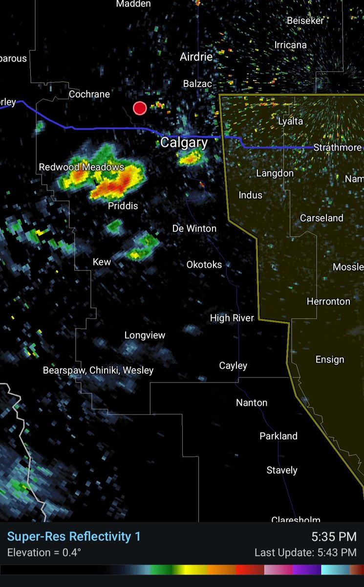
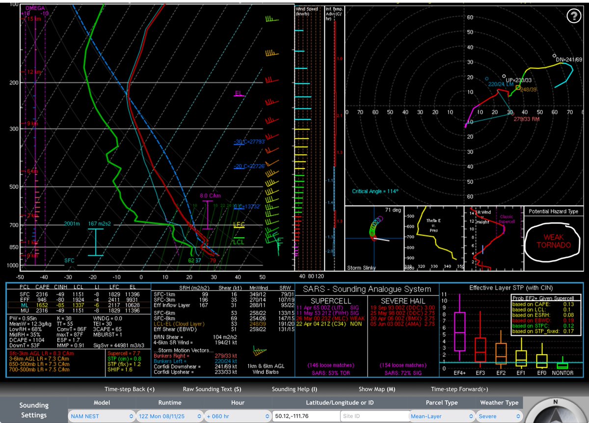
@RocketsShowyo There is a very slight risk of an isolated tornado in between Calgary and Claresholm according to the NAM model if a thunderstorm is able to develop where the cold front and dryline meet in the late afternoon hours.
@RocketsShowyo The main hazards from this setup will be large hail possibly up to the size of golf balls in the strongest storms and strong wind gusts as these thunderstorms may become linear in the late afternoon or early evening hours. Flash flooding could also be possible in some areas.
@RocketsShowyo At this time most of the activity will likely stay north of Lethbridge but this could change if the cold front moves through the area quicker than anticipated which would also move the storm threat further south but this does look unlikely at this time.