SNOW UPDATE: Yes totals are trending higher. This looks like a historic snowstorm for our area. It starts before sunrise Tuesday with the heaviest snow Tuesday (daytime). Most see somewhere between 3-7 inches, but I could see a few spots over 8 inches if the storm overperforms. Dangerous travel all Tuesday into Wednesday. Likely still icy roads Thursday before we warm up. Could this be the biggest snowstorm New Orleans has seen since 1895 (130 years)?
Wendsday-Capital One Starts having issues
Thursday-Direct Deposit issues begin with no timetable for being fixed
Friday-Still Nothing
Saturday-Closed at 12
Sunday-Closed
Monday-MLK day
Tuesday-Possible fix?
Tune in next episode of “Bitch where’s our money”
#CapitalOneDown
I can’t reiterate enough, the event coming next week has the potential to be a high impact weather event. Chances for a winter storm continue to rise and this will stretch the entire I-10 corridor. Deviations in the Gulf low will set the precip type lines. Stay tuned! #lawx
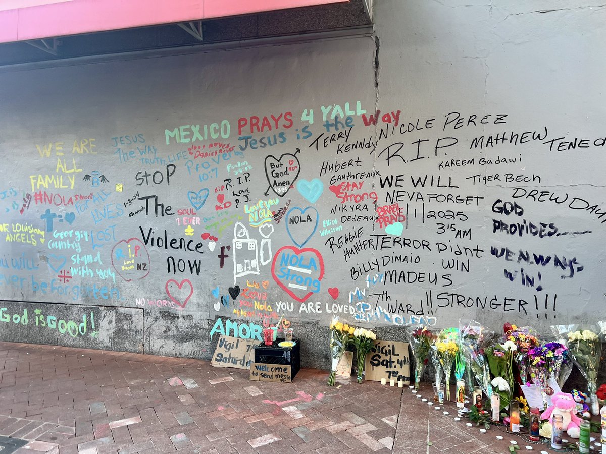
I can’t comprehend that New Orleans was attacked.
14 lives lost and others changed forever.
The emotional & mental toll this has on so many of us.
Crying and hugging and praying with so many people in the French Quarter this week has been intense.
Everything hurts.
Catherine and I have been shocked and saddened by the tragic death of Ed Pettifer. Our thoughts and prayers remain with the Pettifer family and all those innocent people who have been tragically impacted by this horrific attack. W