AXIS GeoSpatial employing innovative measurement technologies to capture #geospatial data for integration into your Civil Engineering or #GIS applications.
We are just 2 weeks away from the VA Surveyors 75th Annual Convention. Come visit AXIS team at booth #8 to access advanced technology and tools to improve the accuracy, safety and efficiency of your surveying process.
Today, we're feeling extra lucky to have such fantastic employees, clients and teaming partners. May the luck fo the Irish be with you todasy and always. Happy St. Patrick's Day! 🍀 🌟
Attending SurvCon 2023 in Atlantic City Feb 22-24? We are just 2 weeks away. Make plans to stop by Booth 16 to speak with our team about aerial surveying & mapping.
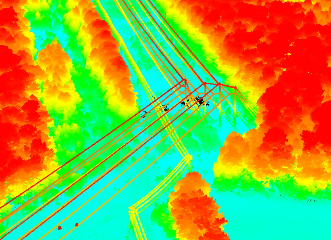
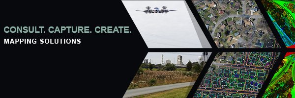
AXIS offers the data to integrate with your geographic information system [GIS] software. Providing you a picture of current infrastructure and the ability to visualize future projects.
We are just 1 week away from the Delaware Surveyors Conference. Stop by AXIS booth to learn more about aerial mapping services for your next project area.
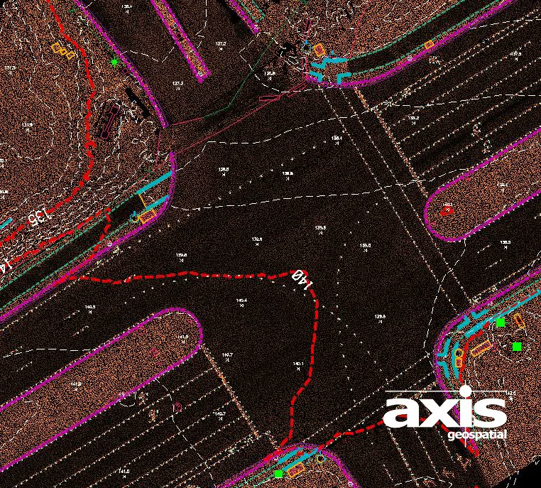
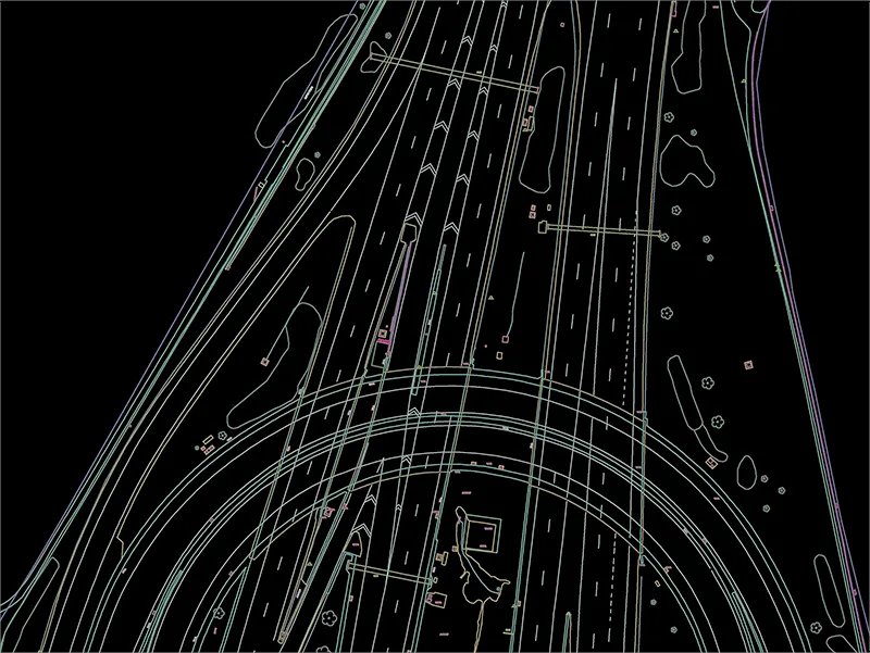
Creating data of existing landscape and infrastructure for transportation planning and highway design. Design scale mapping from AXIS https://t.co/LKRMpUeiQG
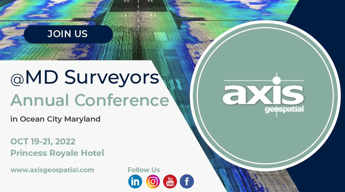
We are just 2 weeks away from the Maryland Society of Surveyors Annual conference. Stop by AXIS booth to discuss the aerial mapping solutions we offer to support your survey operations. Visit https://t.co/dcEuBBrP2D for more information
We would like to wish everyone a safe holiday weekend! Our office will be closed on Monday Sep 5th in observance of Labor Day. We will return to our normal hours on Tuesday.


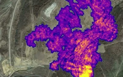

![axisgeospatial's tweet photo. AXIS offers the data to integrate with your geographic information system [GIS] software. Providing you a picture of current infrastructure and the ability to visualize future projects. https://t.co/6UW8PSPoJF](https://pbs.twimg.com/media/FmN_SC9X0BM7zyf.jpg)