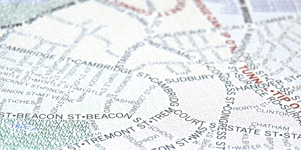
Good cartography requires attention to detail, but we don’t talk much about the details that make for good *interactive* maps specifically. So here are some things from our back catalog that we particularly like!
(thread)
Excited to see our just-finished work appear on the @HISTORY home page today! An interactive, scrolling map of Ulysses S. Grant's key Civil War battles: https://t.co/JJ95K0Yis2
@jscarto@maartenzam @korompaiistvan Some day the final death of Flash will put this issue to rest, but until then it's living at https://t.co/GwHrKuvKVe.
Don't be shy about getting in touch if you haven't mastered the listed technical skills yet but are on a path to learn them. We welcome a range of experience levels for consideration! https://t.co/sGK7n9rxYv
Now that you're back from Labor Day (in the US, at least), consider devoting some labor toward building great web maps with us. Seeking applications for our web map developer job by tomorrow! https://t.co/sGK7n9rxYv
👋 Apply for our web map developer job by next Wednesday!
Whether full time or part time, seasoned expert or early in your career: if you love making maps and want to keep improving your skills, we'd like to hear from you!
https://t.co/sGK7n9rxYv
Problem: we've got data and ideas waiting to be turned into dazzling web maps.
Solution: you!
Apply by September 4 to come work with us as a web map developer! https://t.co/sGK7n9rxYv
Monday commute got you down? If you were our developer, you'd ✨never have to get out of bed✨ as long as your laptop's within reach. Apply by September 4! https://t.co/sGK7n9rxYv
Happy weekend! It’s a nice time to relax with some ☕️ or 🍵 and think about applying for our web map developer job, wouldn’t you say? https://t.co/sGK7n9rxYv
An interactive map can have more than one "right" projection. Age of Exploration follows voyages around a globe (orthographic)—especially useful near poles—but also transitions to Robinson, more appropriate for worldwide overviews. More on this project: https://t.co/on2yRrY4Ep
Good cartography requires attention to detail, but we don’t talk much about the details that make for good *interactive* maps specifically. So here are some things from our back catalog that we particularly like!
(thread)
Another approach to dense proportional symbols, this time with multiple symbols per location (metropolitan areas), from https://t.co/Vcs9BhJfvt. A force layout displaces circles to prevent overlaps—both within and between metro areas—but on zoom they stick with their group.