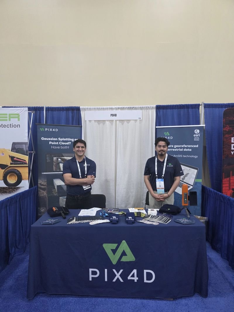
Bad Elf teamed up with PIX4D and had an elfin’ good time at ERGIS.
Thanks to everyone who stopped by, asked questions, talked about field workflows, and shared how your teams are using GIS to solve real-world problems.
#BadElf#ERGIS#GIS#GNSS#FieldMapping#Geospatial
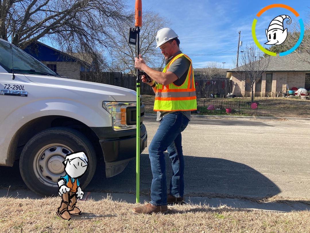
Power on. Pair. Go.
Instant Accuracy links your Bad Elf gear and RTK automatically for fast, survey‑grade precision.
Read more:
https://t.co/HreK7qJCSG
https://t.co/1YFmYcXuKg
#GNSS#RTK#GIS
Bad Elf is headed to the Texas Gas Association Annual Conference in Galveston. Stop by booth 60 to see how our GNSS solutions support utility mapping, asset management, and accurate field data collection.
🗓️ 6/1-6/4
🔗 https://t.co/p0lwUsmUcY
#BadElf#TGA#GNSS#GIS
Accuracy without the extra steps.
Bad Elf’s Spring Release introduces Instant Accuracy for the Flex app, helping Flex and Flex Mini users connect to RTK corrections with less setup and more time mapping.
https://t.co/OgUiM4BRxh
https://t.co/7nvFsAc5av
#BadElf#GNSS#RTK
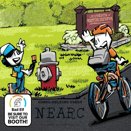
Join Bad Elf at Spring NEARC at UMass Amherst for conversations around high-accuracy mapping, field documentation, and GIS work that holds up in the field.
🗓️ 5/26
📍 Amherst, MA
🔗 https://t.co/hGEGEyUukZ
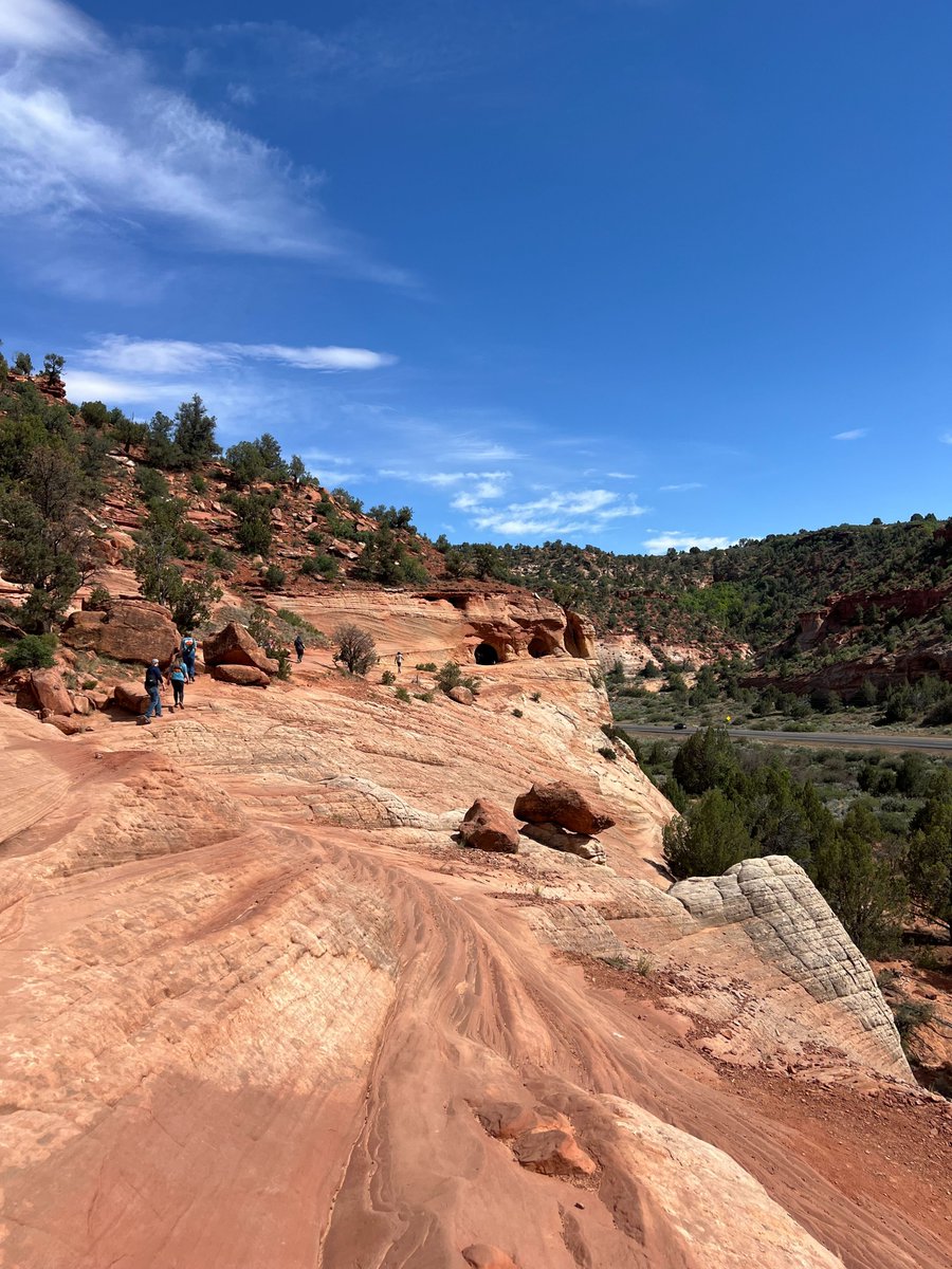
UGIC 2026 was a great chance to connect with Utah customers, catch up with Esri, and spend time with a truly welcoming GIS community.
Bonus points for Moqui Sand Caves and a Grand Staircase cake. Looking forward to UGIC next year!
#UGIC2026#UtahGIS#GIS#GNSS#Esri#BadElf
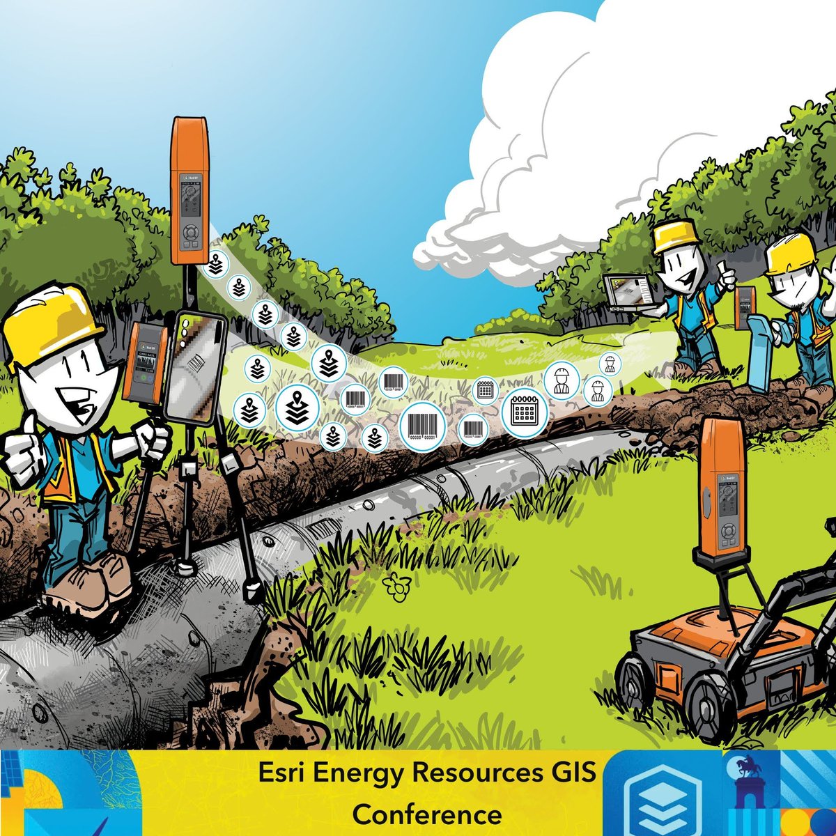
Good energy decisions start with good field data. Bad Elf and PIX4D team up at Esri ERGIS to talk practical workflows for GNSS, mapping, field documentation, and reality capture.
🗓️ 5/18-5/20
📍 Booth 508
🔗https://t.co/ltFC4u0gvd
#EsriERGIS#GNSS#GIS
Headed to UGIC? So are we.
Bad Elf joins the Utah GIS community in Kanab, May 4-8, to talk mapping, asset documentation, and practical high-accuracy field workflows.
Connect with us at UGIC.
🔗https://t.co/doliNzfDNs
📍20 N 100 E, Kanab, UT
#UGIC#GIS#GNSS#BadElf
Headed to SCAUG? So are we.
Bad Elf will be in Corpus Christi, May 4-7, talking GIS, utility mapping, and stronger systems of record. We’re also now part of TX DIR, making procurement easier for Texas agencies.
🔗 https://t.co/sAuIrehfNn
#SCAUG#TXDIR#GIS#GNSS
First time at MAGIC and likely not our last.
We were proud to deliver the opening keynote, host a session on day two, and then spend the rest of the event connecting with a strong GIS-focused crowd in Omaha. Thanks to everyone who stopped by.
#MAGIC#BadElf#GIS#GNSS
Headed to the Florida Water Resources Conference.
Bad Elf helps teams focused on system visibility and asset inventories.
We support workflows for inspection, maintenance, and mapping.
Booth 1115
🗓️ April 26–29
📍 Daytona, FL
🔗 https://t.co/sSwnvxq5nz
#FWRC#BadElf#GNSS
Great week at DBIA in Dallas with PIX4D.
Thanks to everyone who stopped by to talk about reality capture, GNSS, and field workflows. Strong conversations around how Bad Elf + PIX4D support accurate data collection from the start.
#DBIA#BadElf#PIX4D#GNSS#RealityCapture
This Earth Day, we’d like to thank the planet for being the original field site.
We’re proud to support the people using accurate geospatial data to better understand, manage, and protect it.
#EarthDay#BadElf#GNSS#GIS#Environment#Geospatial
Common Ground Alliance Expo.
Bad Elf + PointMan will be talking safer excavation and better underground data.
See GNSS + PointMan workflows in action.
🗓️ 4/27–30
📍 Colorado Springs, CO
📍 Booth 1132
🔗 https://t.co/U9Ere28uWk
#CGAExpo#BadElf#PointMan#GNSS#GIS
Part of a local government team facing mapping mandates, utility mapping needs, or asset documentation challenges? Bad Elf is now available through Texas DIR.
Get the tools you need easier than ever before.
Learn more: https://t.co/VqvzYyFVRh
#TXDIR#SCAUG#GIS#GNSS
High-accuracy GNSS isn’t just for specialists anymore.
Join our ConnectMii event on how RTK and GNSS are becoming accessible for everyday work.
Short. Practical. Built for the field.
Register for 4/23: https://t.co/BIOmu3SNox
#BadElf#GNSS#RTK#GIS#Geospatial#ConnectMii
Bad Elf will be at DBIA Water/Wastewater, connecting with teams focused on smarter infrastructure. Find us at the PIX4D booth (116) to see how GNSS supports reality capture and accurate project data from day one.
🔗 https://t.co/Rf567aF29h
🗓️ Apr 13–15
#DBIA#GIS#GNSS#BadElf
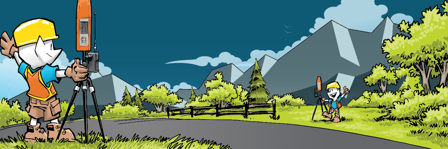
One GNSS ecosystem built for real‑world work.
Flex and Flex Mini deliver the range from simple field tasks to centimeter‑level precision without changing your workflow.
Watch the video:
https://t.co/rbT564prvU
#BadElf#GNSS#GIS#Geospatial#RTK#RealityCapture
For Texas agencies with mapping mandates, getting tools approved can be the hardest part.
Bad Elf products are now available through TX DIR, making it easier to access the high-accuracy GNSS tools your team needs.
Learn more: https://t.co/imr8ChyyfA
#TXDIR#GIS #GNSS#BadElf
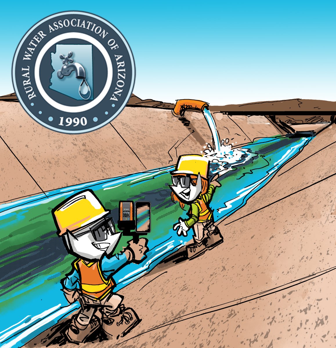
Are you part of a rural water utility managing system infrastructure?
Bad Elf will be at the Rural Water Arizona Conference discussing GNSS workflows for hydrant, valve, and pipeline mapping.
Come say hello!
🔗https://t.co/kSnENaUmvZ
#WaterUtilities#GIS#GNSS#BadElf