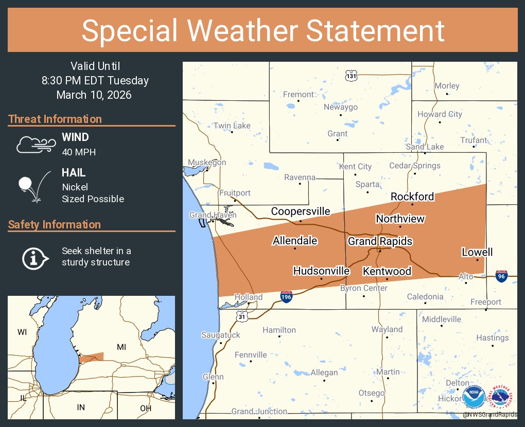
Thunderstorms will become more likely this afternoon, especially north of I-96. Hail will be the main threat with some damaging winds possible. There is a decent chance of a tornado or two spinning up this afternoon. #wmiwx
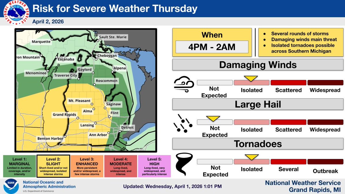
Several rounds of storms are expected Thursday afternoon through late Thursday Night. The strongest storms may contain damaging winds and isolated tornadoes along with heavy rainfall. Continue to monitor the forecast.
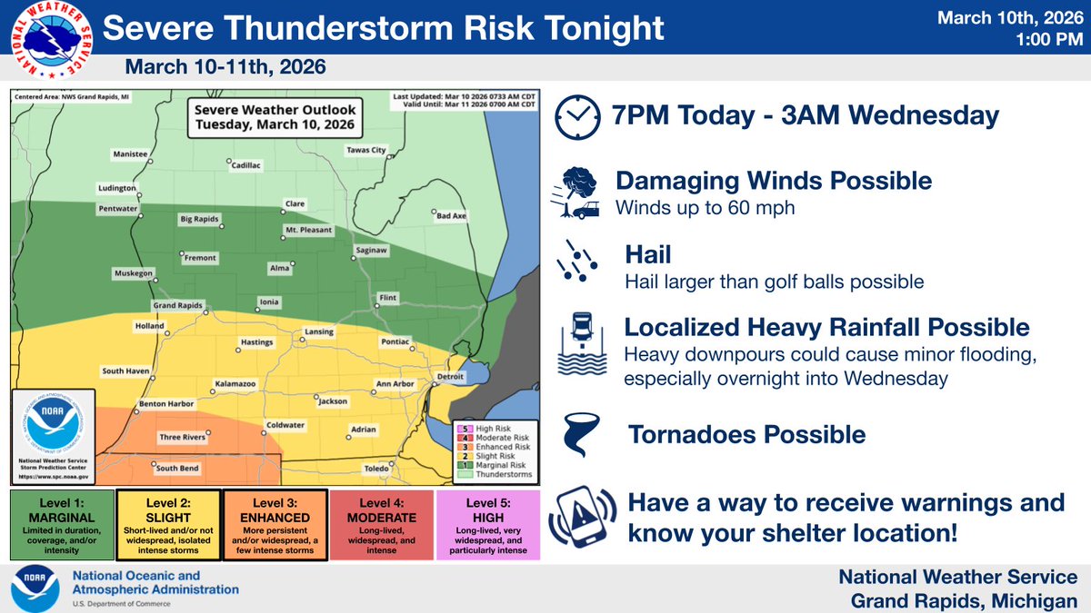
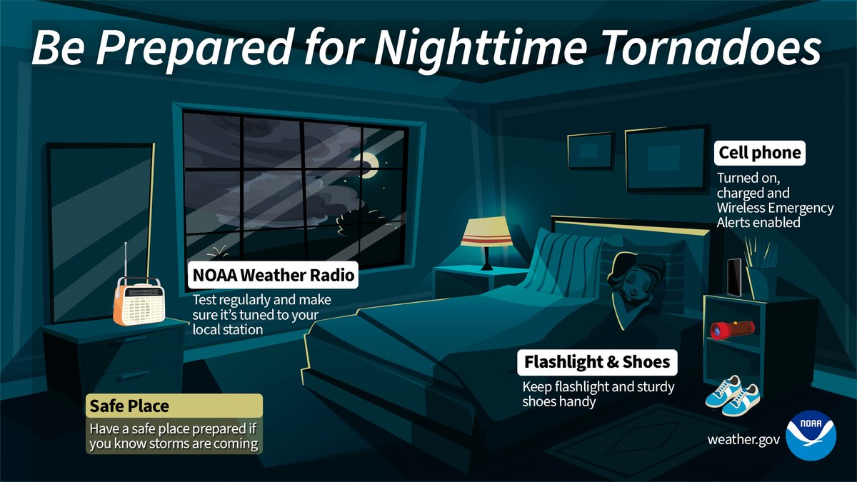
There is a risk for severe storms tonight. Damaging winds, large hail, tornadoes & minor flooding will all be possible. The highest risk for tornadoes is along & south of I-94. Make sure you have a way to receive warnings that can wake you up along with a shelter plan. #miwx
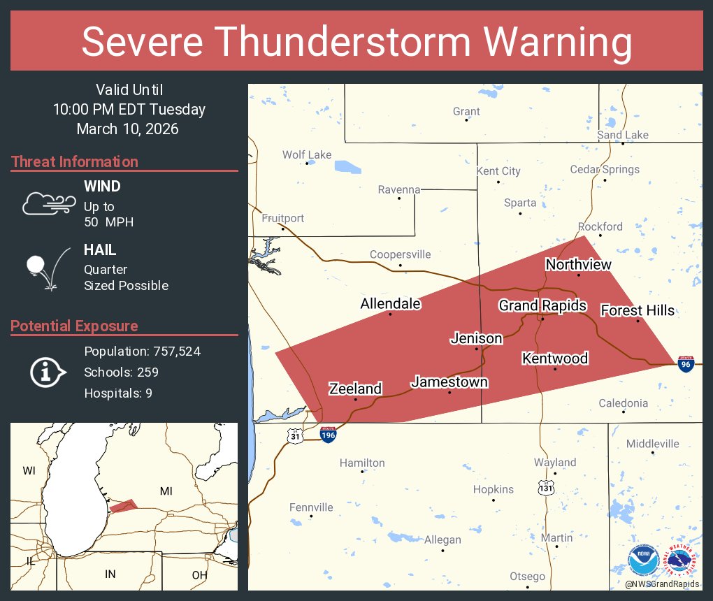
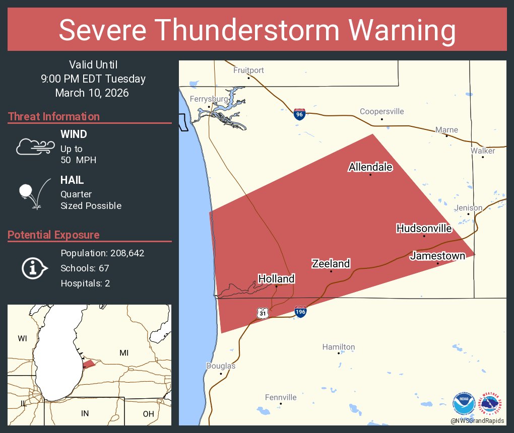
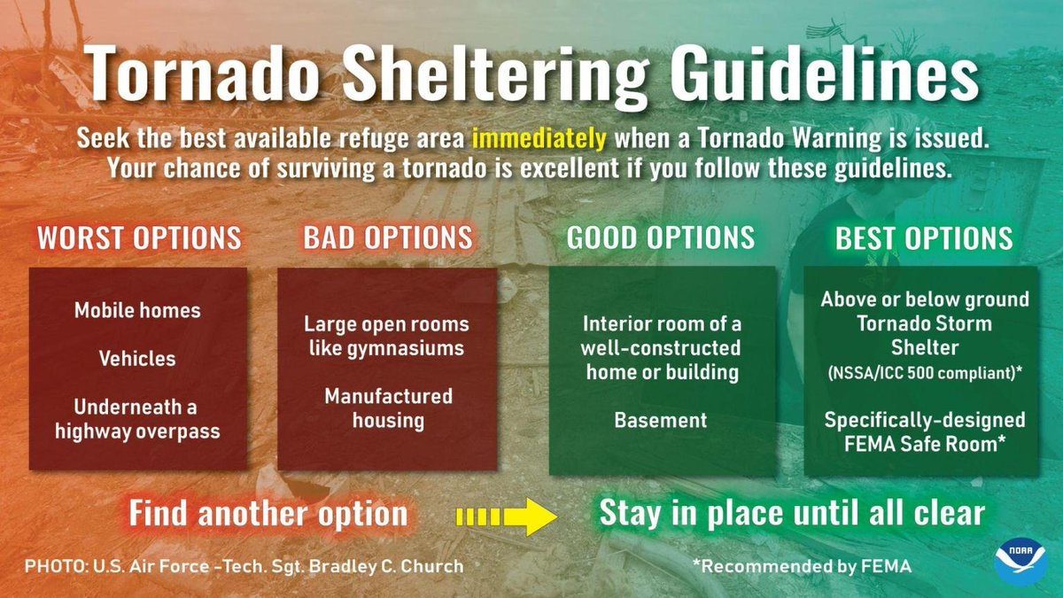
With the potential for damaging winds, large hail, and tornadoes this evening and overnight; make sure you have a way to receive warnings (that can wake you up) and know what your best shelter options are. If you don’t have a good option, reach out to friends or family. #miwx
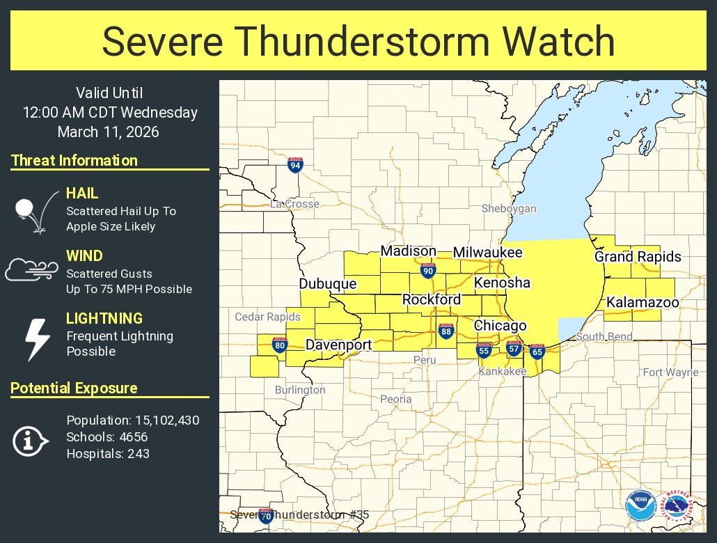
Several rounds of strong to severe storms will be possible Tuesday evening into early Wednesday. Area of most concern is along and south of the I 96 corridor. Primary threat is damaging winds and large hail. Tornadoes are possible. Heavy rainfall could cause minor flooding