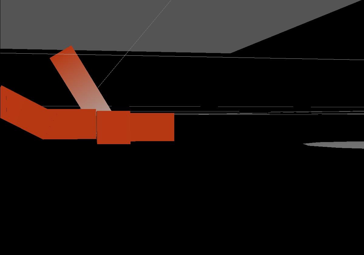
Mine scan in Chegutu. Steel levels, vertical movement, and geological blocks are all detected from above using drone based GPR.
#MiningInnovation#BluedrumGeo
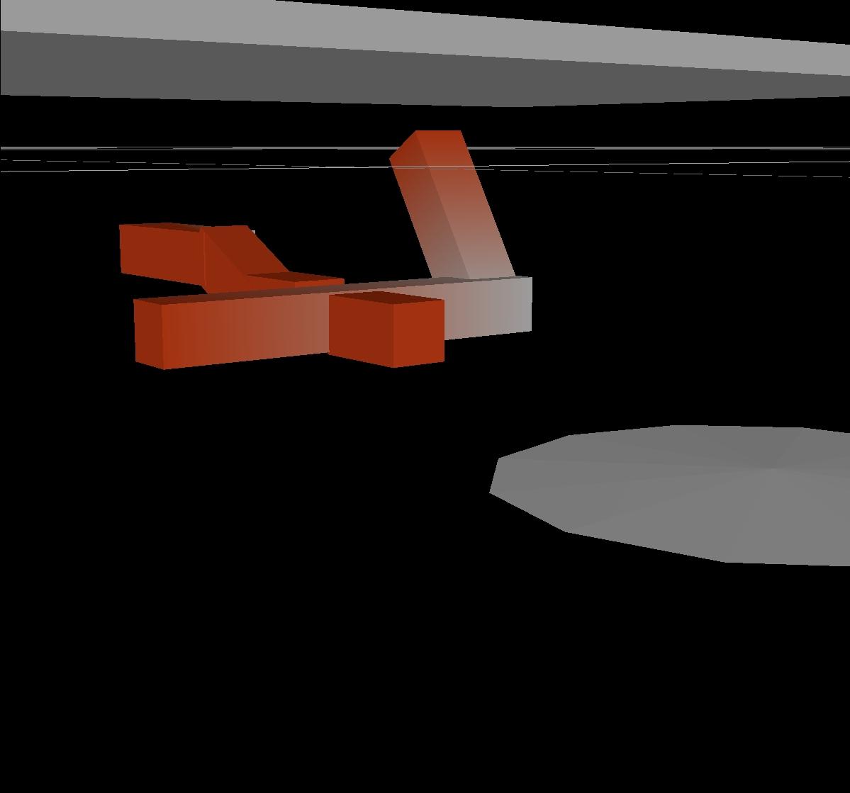
A 3 way tunnel intersection captured in sharp detail.
🔸Vertical meets horizontal
🔸Angled offsets, all mapped in 3D
Bluedrum Geo delivers what lies beneath — clearly.
#GeoImaging#DroneMapping#SubsurfaceVision#BluedrumGeo
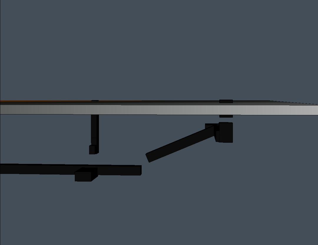
Orientation is everything. This model highlights the true underground direction of tunnels: straight, sloped, and precise.
Trust Bluedrum Geo Services for clarity beneath.
#GPR#TunnelMapping#3DUnderground#BluedrumGeo
A network revealed from four angles. This 3D GPR survey captures tunnels & shafts in clear detail, showing structure, geometry & depth like never before.
Precision imaging by Bluedrum Geo Services.
#3DMapping#GPRSurvey#DroneTech#MinePlanning#BluedrumGeo
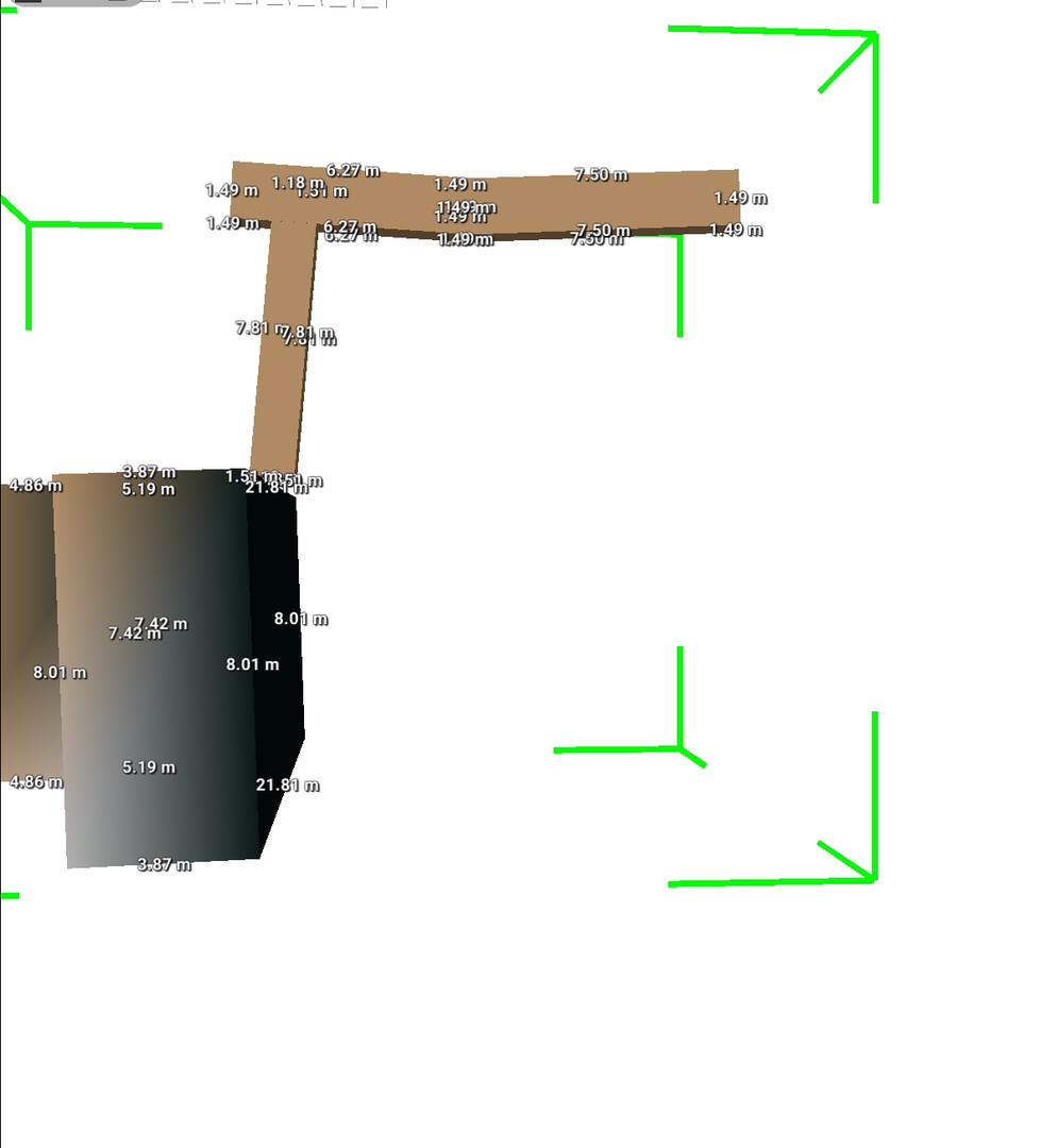
Drone + GPR revealed a deep shaft linked to a branching tunnel, mapped in 3D with meter level accuracy.
Plan smarter, excavate safer.
#BluedrumGeo#GPR#DroneSurvey#MiningMapping
Our drone-integrated GPR system mapped a deep vertical shaft at a Shamva mine. Additionally, 3D imaging identified a winch system, showing that it is effective both on the surface and subsurface.