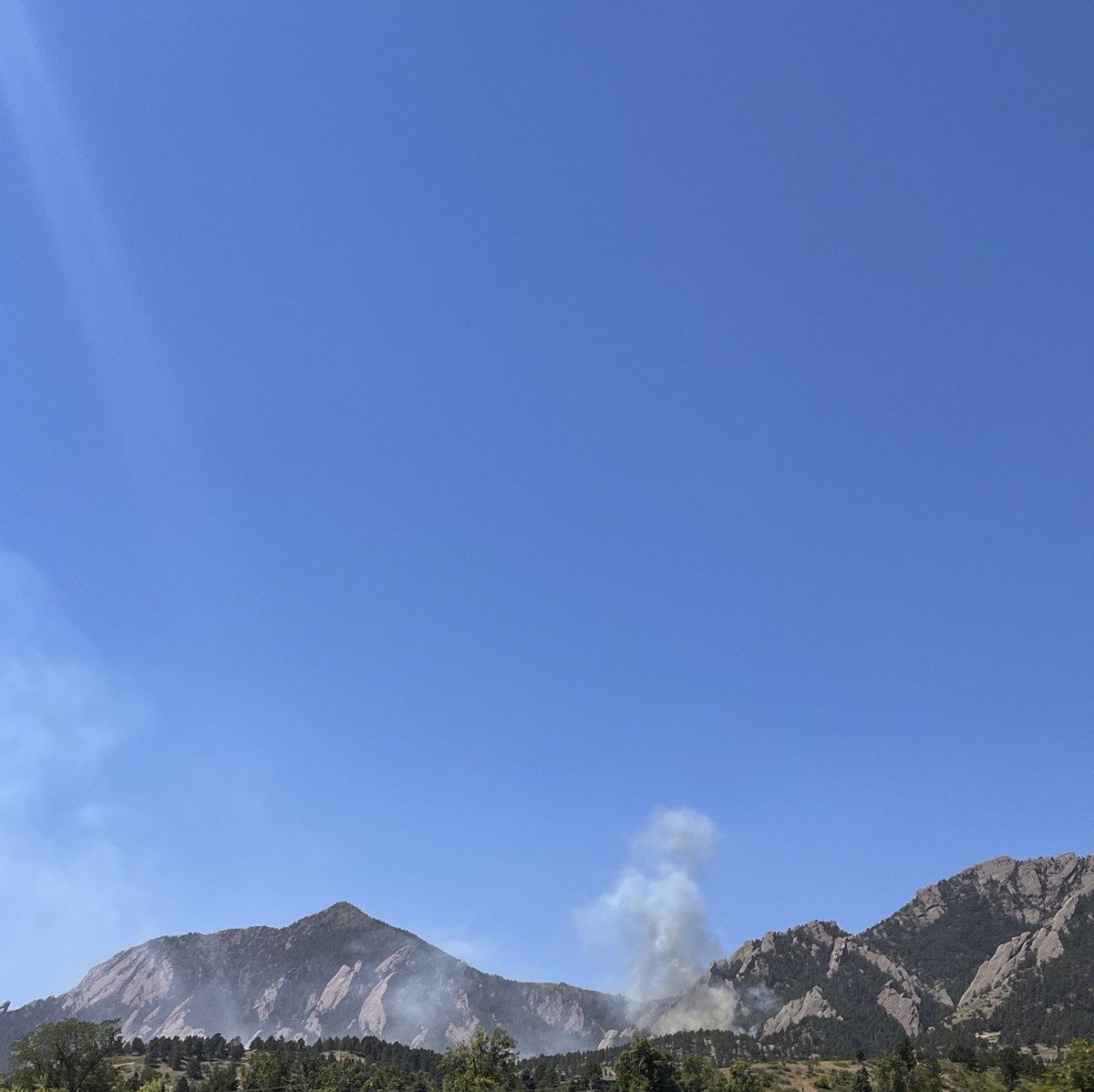
Evacuation of the NOAA campus underway with a new wildfire start west of NCAR in Boulder. Stay safe, folks.
Here’s a live view from the AlertWest Arapahoe Ridge camera, and a map view from WatchDuty.
Links:
-camera: https://t.co/BRlIrggG9m
-map: https://t.co/WfQiHvt936
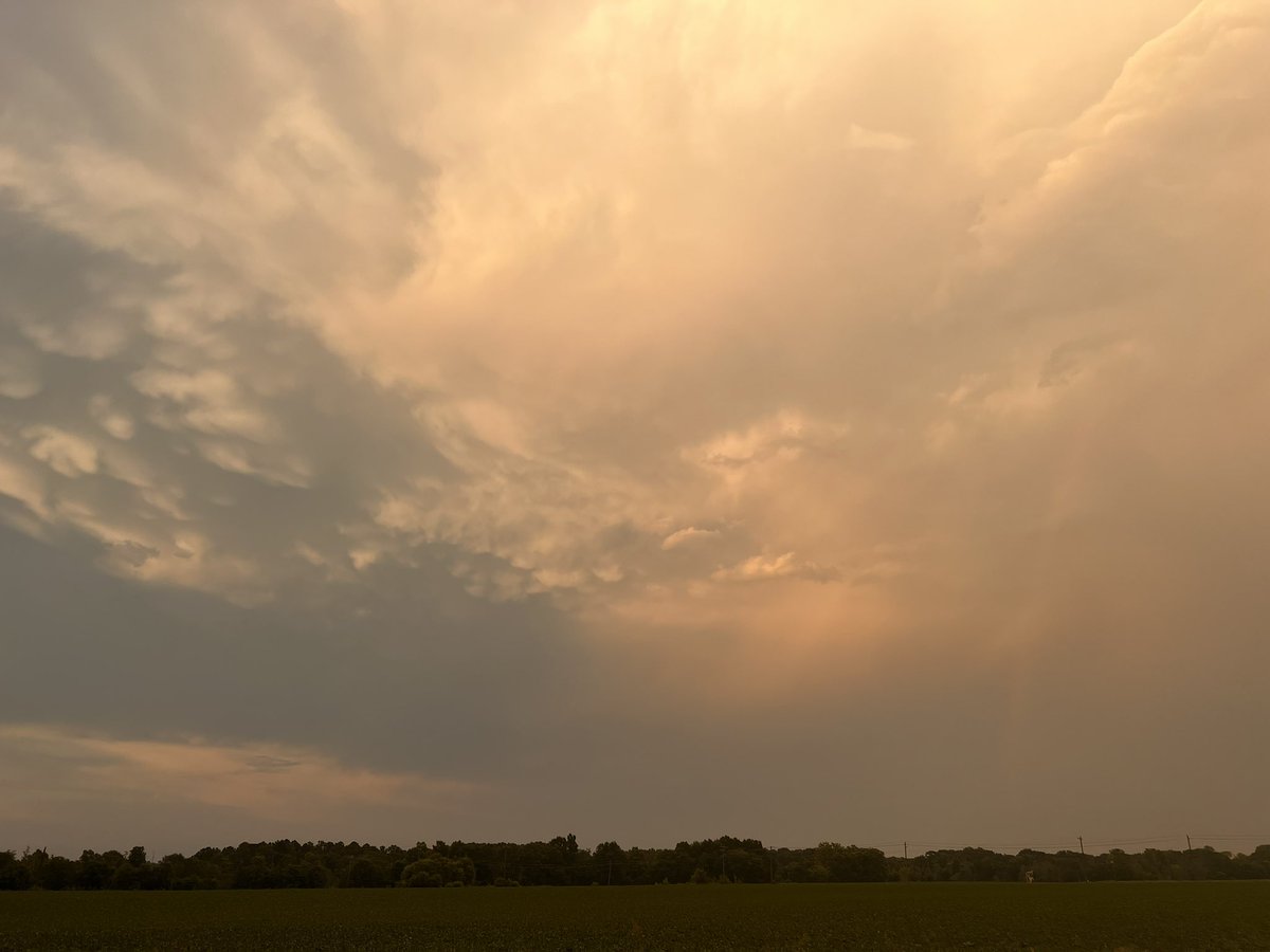
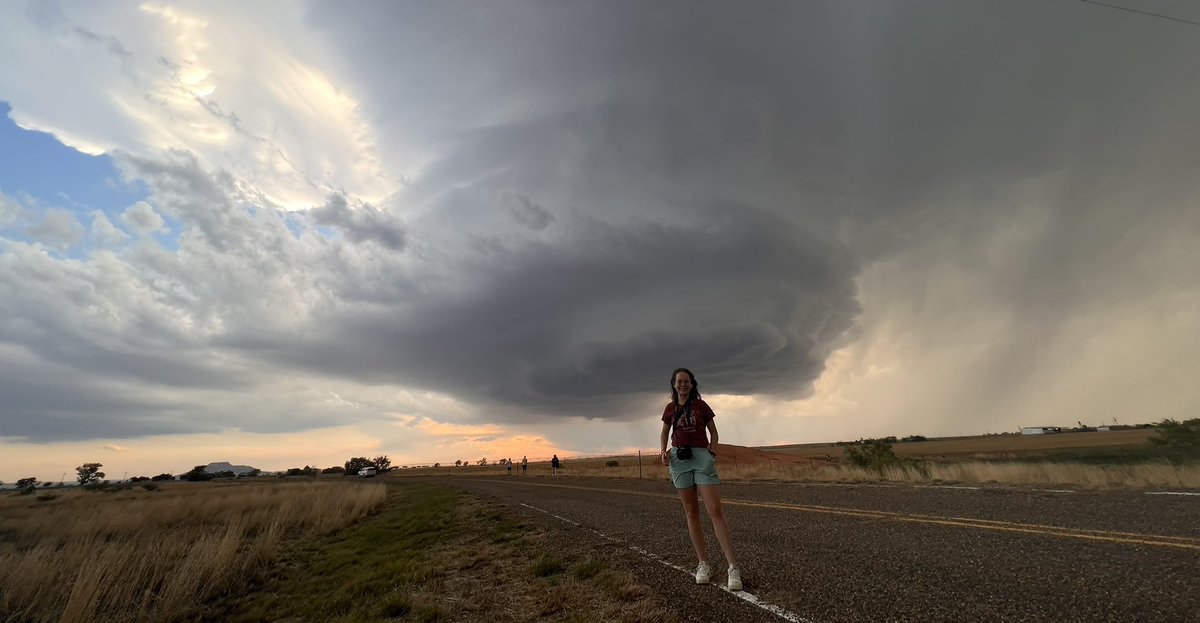
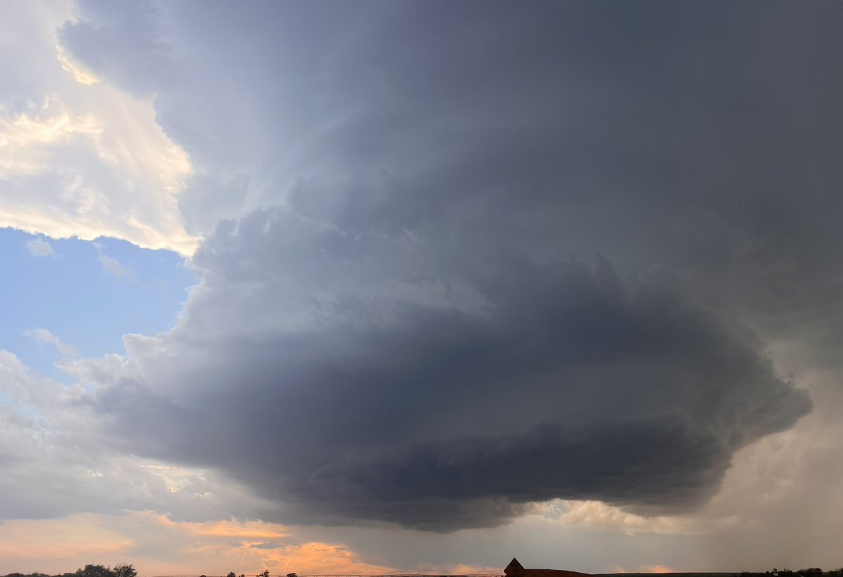
Thankfully, it has been a few months since we've had to discuss severe weather in the forecast. As a result, we know that the threat of storms can result in increased anxiety and stress. Here are some tips to help you and your family prepare ahead of the storms!
11/19: There is an Enhanced risk (level 3/5) of severe thunderstorms on Monday (11/20) over portions of northern Louisiana and central Mississippi. Damaging winds and tornadoes (some possibly strong) are the primary concerns. For the latest forecast: https://t.co/St6FGvEy8Q
PDS (Particularly Dangerous Situation) Severe Thunderstorm Watch #293 has been issued for portions of northeast LA southeast AR and MS until 8 pm CDT. Widespread damaging winds to 90+ mph, hail and a few tornadoes are likely. Please see https://t.co/QMmU4tCxt1 for more info.
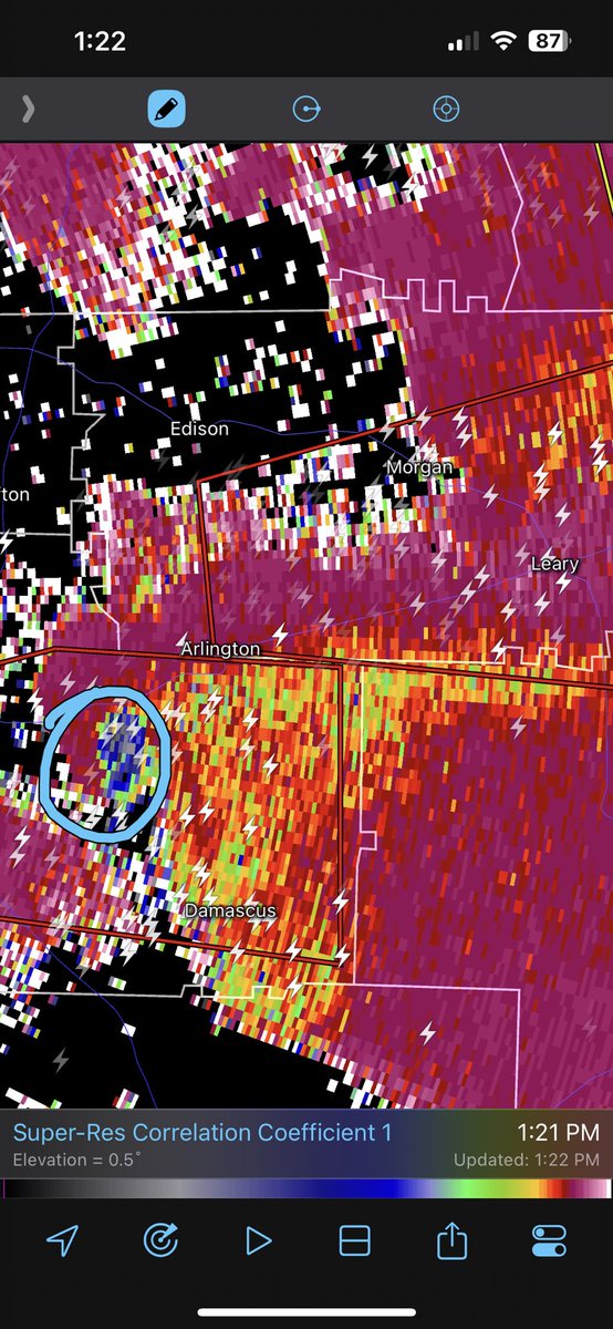
This is serious. A very large and dangerous #tornado is moving between Arlington and Damascus in Early County doing serious damage. There are no towns in the immediate path but people still live there. It’s a life threatening situation. #GAwx