BREAKING: LeBron James is signing with the Philadelphia 76ers on a two-year, $8 million deal with a player option, Klutch Sports Group and Klutch CEO and Game Over show host Rich Paul tells ESPN.
Tropical Depression 2 remains a system to watch over the next several days. The overall trend in the latest guidance favors a farther south track, which would allow the system to spend more time over the warm Gulf and potentially strengthen. The southern side of the circulation is expected to remain the most active, with greater moisture, stronger thunderstorms and better upper level support, while the northern side stays comparatively drier.
The biggest question remains how quickly the ridge builds and where it ultimately steers the system whether deeper into the Gulf toward Texas, along the Gulf Coast, or eventually farther north. It’s still too early for specifics but confidence is increasing that this will be a system worth monitoring closely. #tropics #GulfCoast
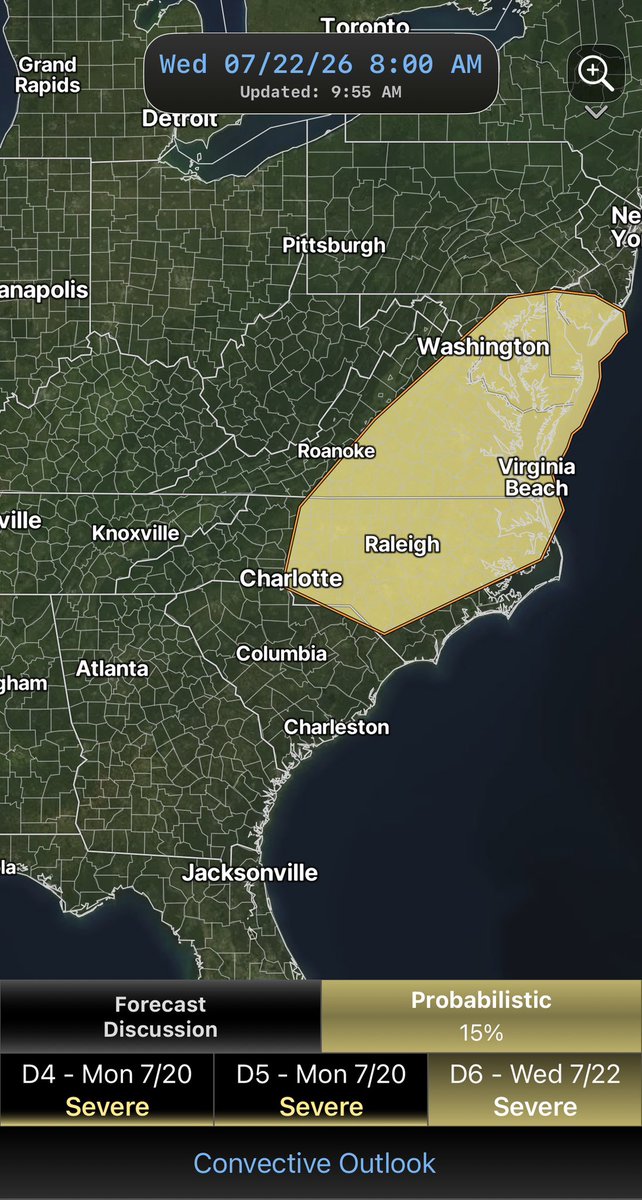
The SPC still has a 15% severe weather risk across much of the Carolinas and Virginia for wednesday. Because of a stronger than average upper level trough moving into the eastern US this is an indication that more widespread strong thunderstorms are possible. #ncwx#scwx
Wednesday’s severe weather outlook includes a 15% risk across parts of North Carolina, Virginia and Maryland as a cold front moves through. It’s still several days away so expect forecast details to change some but worth keeping an eye on
Sunday’s SPC outlook has been upgraded to a Level 2 (Slight Risk) across parts of the Carolinas and Virginia. A warm, unstable atmosphere could support stronger thunderstorms with damaging wind gusts as the main threat. Stay weather aware
So where did this rare tornado come from tonight in an atmosphere not set up for tornadoes? In short, even in an atmosphere broadly conducive to severe weather, the outflow boundary served as a "mesoscale accident." It provided the exact localized enhancement of low-level shear and convergence needed to spin up a rare, targeted summer tornado along a squall line.
The Bow Echo: The primary storm system is an east-moving bow echo, driven by a strong rear-flank downdraft. This drives a surge of momentum, creating strong straight-line winds and generating localized spin (mesovortices) along its leading edge, particularly at the "bookends" of the bow.
The Outflow Boundary: A pre-existing, rain-cooled outflow boundary is moving northward, perpendicular to the bow echo’s path. Outflow boundaries act as miniature cold fronts, shifting the local wind direction and creating a sharp density gradient.
The Intersection (Triple Point): Where the forward-surging bow echo meets the northward-surging outflow boundary (near Belwood on the radar image), a localized "triple point" forms. This intersection maximizes low-level convergence, forcing air to rise rapidly. Boom! A quick, legit tornado formed in a setup not normally ideal for a tornado. #cltwx #ncwx #scwx #wcnc
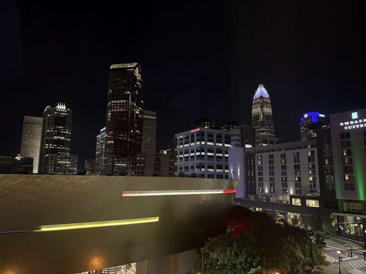
Strong thunderstorms are pushing toward the Charlotte metro. Frequent lightning and gusty winds are possible. I expect the warnings to continue to be issued as the storms move east.