QGIS Model Designer: Build Automated Geospatial Workflows Without Coding
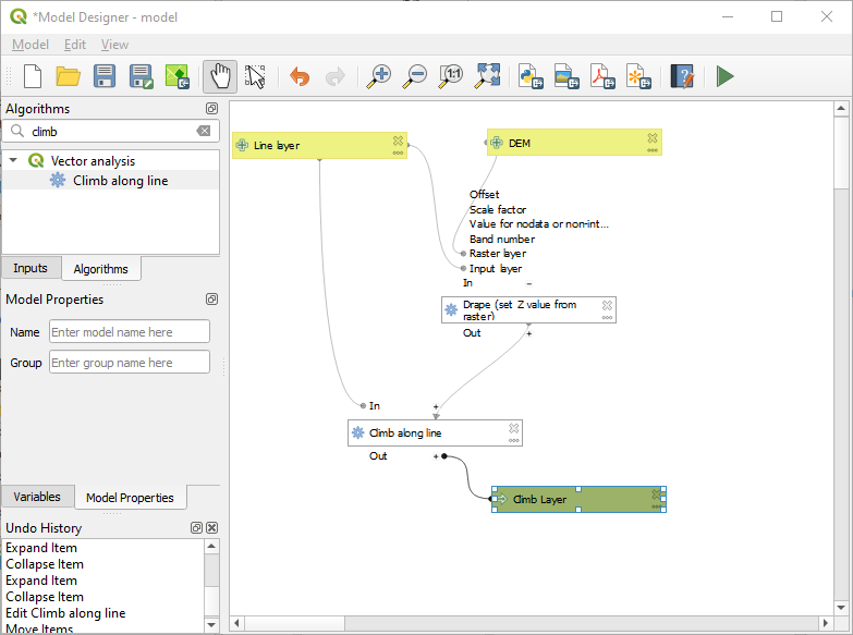
The QGIS Model Designer is a powerful tool that lets you build complex geoprocessing workflows using a simple visual interface. Instead of running tools one by one, you can chain multiple GIS processes into a single reusable model — saving time, reducing errors, and enabling automation.
It supports vector, raster, mesh, 3D tiles, point clouds, and any algorithms available in the QGIS Processing Framework.
Core Capabilities include:
🧩 Drag-and-drop workflow building — visually design processing chains
📥 Flexible inputs — layers, fields, numbers, expressions, files, user-defined variables
⚙️ Integration with all QGIS & plugin algorithms
🔗 Logical sequencing — automatic dependency handling & custom ordering
📤 Model outputs — save layers, tables, or temporary results
🔄 Reusable automation — run with different datasets anytime
📝 Documentation tools — generate HTML descriptions inside the model
🐍 Export to Python — automatically convert your model into a Python processing script
🖼️ Export to PDF/SVG — visualize your workflow as diagrams
What you can build with the Model Designer
🔹 Multi-step spatial analysis workflows
🔹 Automated data cleaning and preparation
🔹 Raster–vector processing chains
🔹 Batch geoprocessing pipelines
🔹 Parameterized tools reusable by teams
🔹 Custom algorithms without writing any code
Why it matters
The Model Designer empowers GIS analysts to:
✔️ Standardize workflows
✔️ Avoid repetitive manual steps
✔️ Ensure reproducibility
✔️ Share processing logic as a single tool
✔️ Scale projects efficiently
Whether you are working on environmental modeling, urban planning, hydrology, asset management, or remote sensing — Model Designer helps streamline the entire geospatial workflow.
📖 Documentation: QGIS Model Designer Docs
🧠 Credits: QGIS Development Team
🌍 Take it further with @OrionGeospatial
For managing, sharing, and collaborating on the outputs of your QGIS models, Orion Terrametrics provides a centralized platform for spatial data access, visualization, and analysis. Embed your models, share layers, and collaborate seamlessly with your team.
👉 Explore Orion Terrametrics: https://t.co/99ZziE5s6z
#QGIS #GIS #Geospatial #Automation #ModelBuilder #SpatialAnalysis #OpenSource
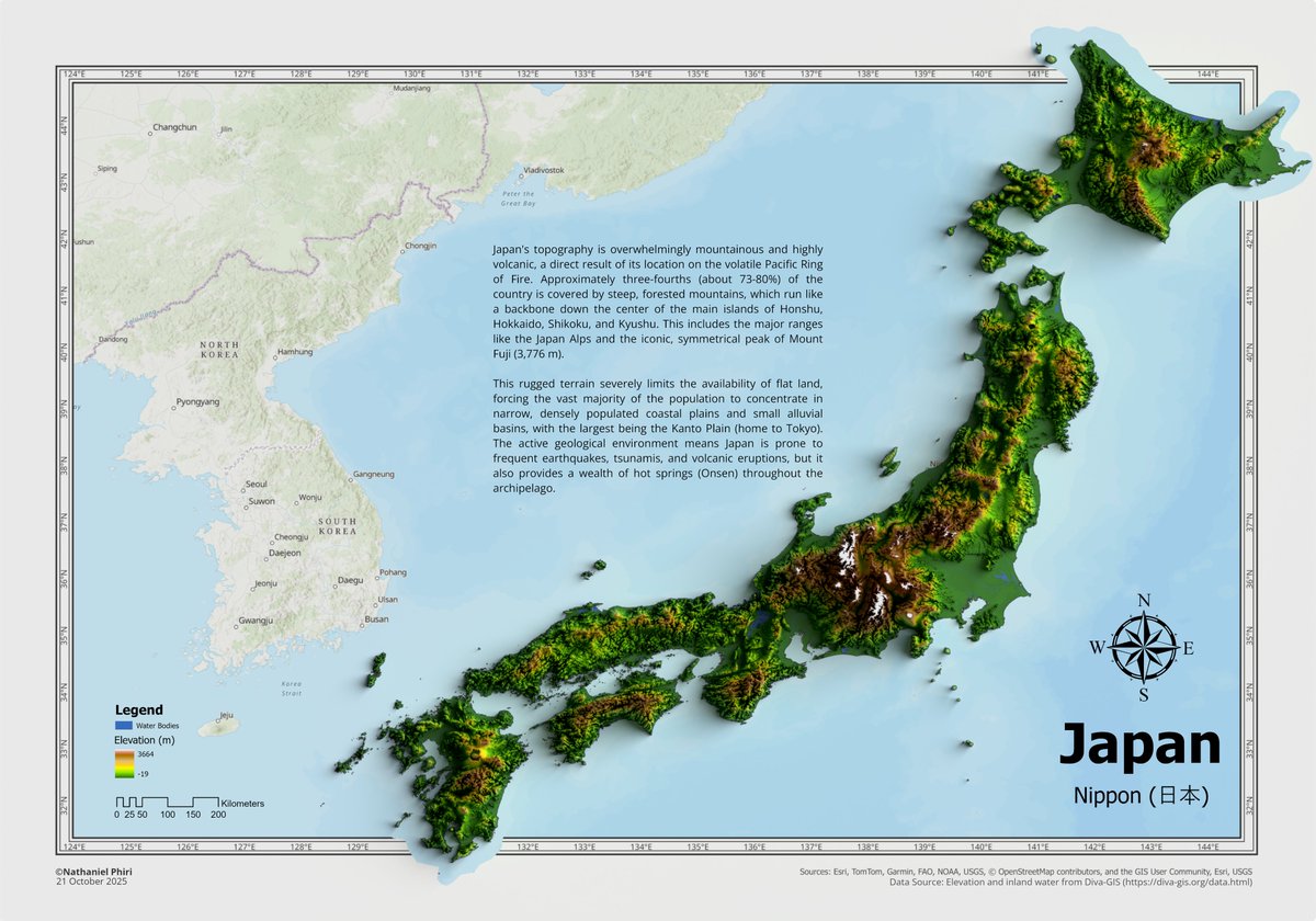
Been a while, but here is a 3D elevation map of Japan, made using @ArcGISPro and @Blender with datasets sourced from Diva-GIS https://t.co/Nzrv4CYxUU.
Special shoutout to John Nelson for the tutorial on "Smashing Neatlines" https://t.co/vPHnHzXzSn for the spillover map style.
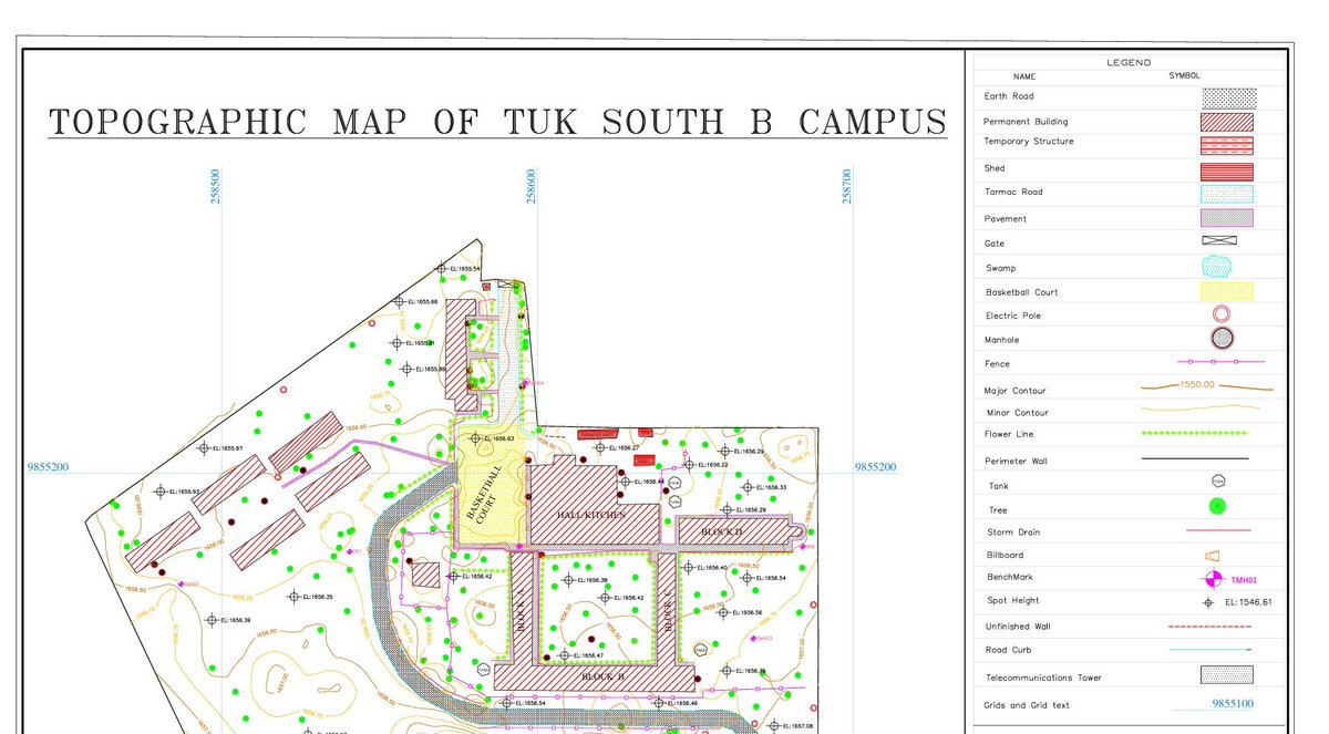
In my prime pale TUK, to please the board of examiners and earn my degree as a Geospatial Engineer and follow the footsteps of the likes of @Surveyor_001 , I did a 12 acre topo-cadastral survey of the TUK South B campus in south B to support planning and infrastructural upgrade, using a total station.
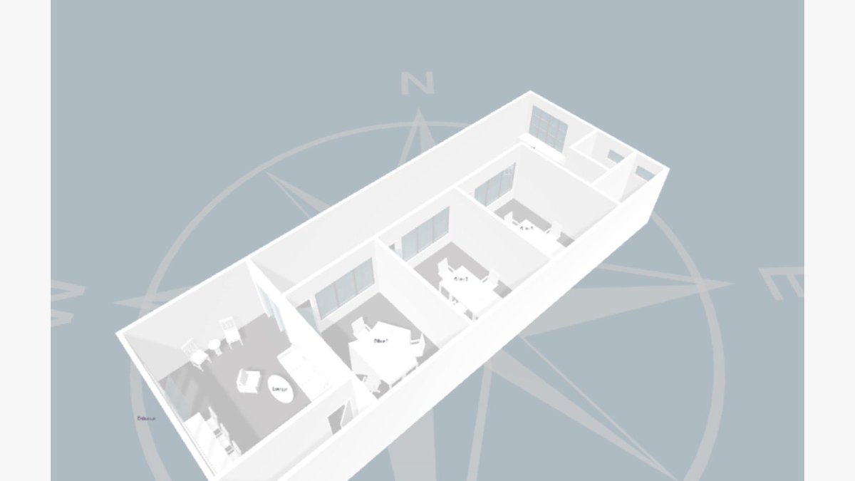
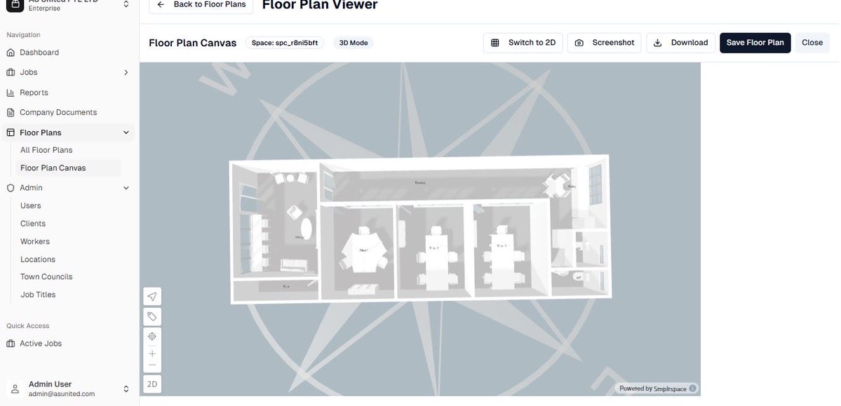
How cool…😍in love with what i do❤️🔥…Created this system - dynamic indoor mapping + interactive floor plan project support...incorporated with gis👌🏾 #gischat#geospatial