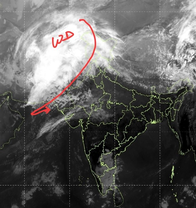
Intense Western Disturbance visible on satellite imagery is on it's way to impact north #India later tonight with peak intensity on 27th January.
• Two to three spells of moderate to heavy rains, thundershowers likely in #Delhi NCR #Haryana#Rajasthan#Punjab#Chandigarh and W #UttarPradesh tomorrow morning into late night hours.
• Cloudy and wet weather will lead to #Coldday conditions (max temp <16°c)
• Most parts of #Kashmir #Himachal #Uttarakhand to experience fresh spell moderate to heavy #snowfall.
#DelhiRains
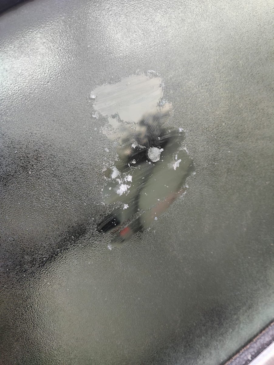
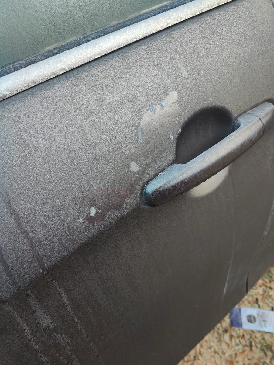
Widespread ground frost (dew drops freezing into ice on the surface) has been reported from #Ajmer, #Sikar belt, North East #Rajasthan, South #Haryana, Outskirts of south #Delhi and #Gurgaon this morning.
Visuals from Imsky05/#SainikFarms by @captsahil.
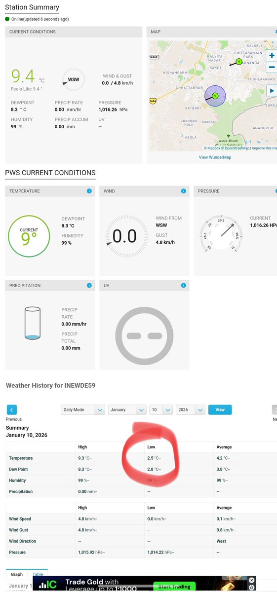
Min temp recorded: 2.3°C
Ground frost was once again observed in pockets of South #Delhi, #Gurgaon, #Rajasthan this morning,
Visuals from #SainkFarms where out obs Imsky05/Sainik Farms recorded 2.3°C
📸: @captsahil
Ground frost has been reported from #SainikFarms and nearby areas of #Gurgaon and #SouthDelhi as temps dipped to -1 to +1.5°C range in these areas.
•Gurgaon: 0.6°C
•Imsky05/SainikFarms05: 1.1°C
•Open green covers & rural areas dipped to negatives.
Clear fog free skies to allow rapid fall of temperatures during night hours.
📸: @captsahil