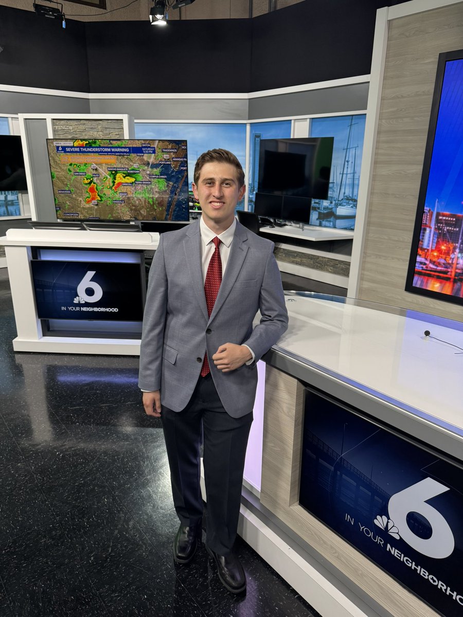
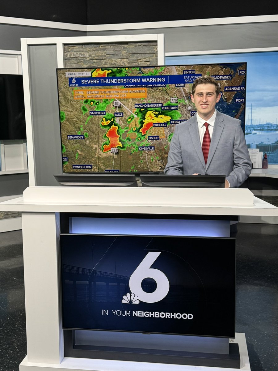
*LIFE UPDATE!* I’m thrilled to announce that I am the newest member of the Weather Team at KRIS 6 News in Corpus Christi, TX starting on June 1st! I’m excited to be the Weather/Climate Multimedia Journalist and Meteorologist! Excited to officially launch my professional career!
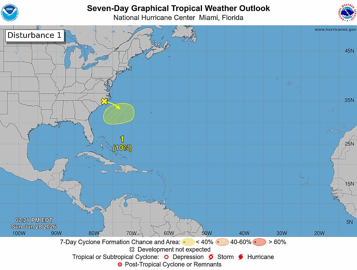
Sunday 6/28 8 pm EDT: NHC continues to monitor a low (10%) chance of tropical cyclone formation off of the southeastern U.S. coast during the next couple of days. Visit https://t.co/tW4KeGdBFb for the latest updates.
Tropical Update 10AM CT: The National Hurricane Center has begun advisories on Potential Tropical Cyclone One. PTC One is expected to become a tropical storm near the NW Gulf coast through Wednesday. Main threats remain heavy rainfall/flooding, gusty winds, and coastal flooding.
Potential Tropical Cyclone #One Advisory 1 (10 AM CDT, Tue Jun 16): Very Heavy Rainfall and Dangerous Flash Flooding Expected from Potential Tropical Cyclone One. https://t.co/tW4KeGdBFb
Jun 16 8am EDT: Key Messages for the Disturbance Over the Northwestern Gulf of America. Stay up to date with the latest at https://t.co/tW4KeGdBFb and https://t.co/SiZo8ozBbn
Tropical Update 12AM CT: There is an area of increased 60% chance of development in the next 48 hours off the TX Coast. Regardless of tropical cyclone formation; periods of intense rainfall through Tuesday evening could produce widespread flooding for South TX.
NHC has highlighted an area over the western Gulf with 50% chance of development in the next 7 days. Regardless of tropical cyclone formation, our messaging remains the same; periods of intense rainfall over the next several days could produce widespread flooding.
Jun 15 2pm EDT: Key Messages for the Disturbance Over the Northwestern Gulf of America. Stay up to date with the latest at https://t.co/tW4KeGdBFb and https://t.co/SiZo8ozBbn
Not sure if I’m going back to bed after all this ⛈️🤷♂️ Caught a CG (Cloud-to-Ground) lightning strike right outside my window!
.
.
.
#txwx#cctx#lightning#texas#weather
A Flood Watch has been issued from tonight through Wed evening. A broad area of low pressure over NE MX and a stalling front will result in heavy rain through mid week. Isolated areas of 8+ inches possible. Remember, if you come a cross a flooded road: Turn Around, Don't Drown!
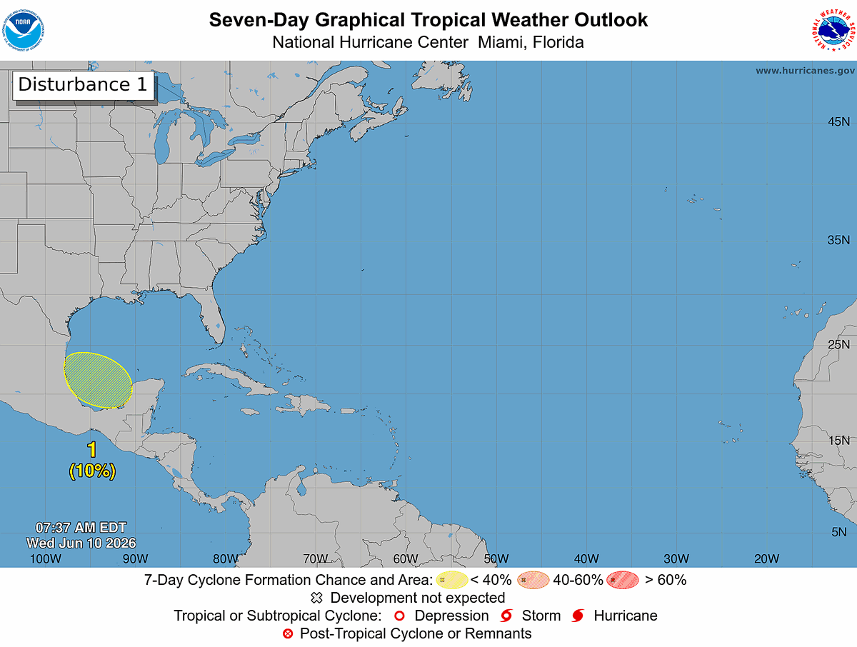
8 AM EDT Wednesday, June 10: A broad area of low pressure could form over the Bay of Campeche later this week. The system has a low chance (10%) of formation before it moves inland over eastern Mexico over the weekend. Follow the latest at https://t.co/tW4KeGdBFb
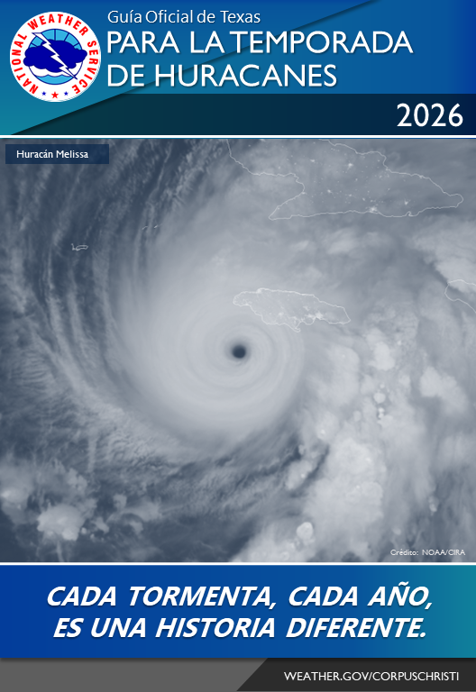
Today, June 1, is the first day of hurricane season. It is forecast to be a below normal season, but we still need to be prepared because it only takes one storm into our area to have significant impacts. Check out this year's hurricane guide for more. https://t.co/bJU54i31Eg
A classic Florida “zipper effect” is taking shape this Wednesday evening, as the west coast sea breeze collides with the east coast sea breeze within a prevailing southeast flow.
On visible satellite, you can see a bubbling line of cumulonimbus clouds marking this convergence zone just east of Tampa Bay, where thunderstorms are rapidly developing.
NWS weather radar shows the two sea-breeze boundaries merging into a narrow line that zips south to north before storms push back west toward and off the Gulf coast, bringing frequent lightning and torrential downpours. #FLwx