CSIRO's DAP is a @CoreTrustSeal certified repository that provides a secure platform for discovery, access and, reuse of data and software assets. #FAIR
Some #data collection is hi-tech, some involves walking and driving around all the #lakes, #swamps and #coast of Rottnest Island over a period of 26 years, to build up a picture of the birdlife: https://t.co/R7uqhkBBX8 (Image: CSIRO)
Where does the Research Vessel Investigator go, and what does it do? If you're curious you can see where it is on the map here https://t.co/04vqKi9Ugu & have a look at some of the data that's collected on trips here
https://t.co/rZZ34ij0bD #RVInvestigator#MNF
Seasons greetings from all of us behind the scenes of the CSIRO Data Access Portal. Enjoy your holidays and our natural spaces responsibly. #reuse#reduce#recycle
#Data visualization of evaporation in the Darwin River Dam can help us understand issues around the sustainability of #water and agricultural #development in northern #Australia: https://t.co/Vwq0Bv0wl6 (Image: Ken Hodge - Flickr: Darwin River Dam Wall and Pump)
What does the future look like? Direct climate change impacts on growth and drought risk in blue gum (Eucalyptus globulus) and radiata pine (Pinus radiata) plantations in Australia. https://t.co/5Lx1oNVUy8 #climatechange#dought#modelling (Image: CSIRO)
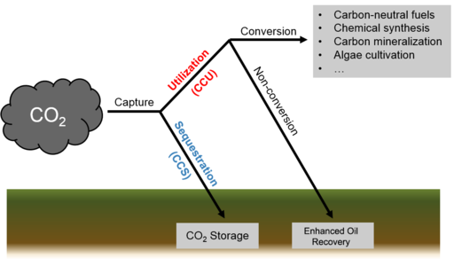
Fractura is a desktop application for running visualizations & simulations associated with subsurface injections using a number of inbuilt and third-party simulators for sequestration & energy storage.
https://t.co/hEELViWVQ1 #geology#sequestration
So what's the deal with dirt? Monitoring our #soil is part of monitoring our ecology. And, of course, building up the available #data. #WorldSoilDay2022 https://t.co/e8jc5IYiPC (Image: CSIRO)
Get the dirt on this! In honour of World Soild Day yesterday (Dec 5th) we'd like to share with you the Australian Soil Classification Map, an estimate of the spatial distribution of soil types across Australia. https://t.co/m3yHZrRItT
#WorldSoilDay#SoilTypes (Image: CSIRO)
As part of the 2018-2021 global DARPA Subterranean Challenge, CSIRO developed ground robots to go where humans can't - but how do you teach a #robot to manage slopes and avoid holes and cliffs? With lots of #data! https://t.co/GUBRfn0Hif (Image: CSIRO)
Take a look at some of the images and videos captured using LiDAR during investigations into the problem of colourising a point cloud using an arbitrary mobile mapping device and an independent camera
https://t.co/7bK5OP6Nfo #robotics
#Bushfire data: what does the future for Australian plant species look like, following the "Black Summer" megafires of 2019-2020? https://t.co/RMXRWEZnPT
(Image: CSIRO)
Has fire danger season started where you live? Environmental fuel loads (undergrowth, weeds etc) can have an affect on #bushfire risk https://t.co/AdEDTHbfKF (Image: CSIRO)
#OzPollinatorWeek continues! Did you know DNA metabarcoding of honey can tell us where #bees like to forage? Sweet! :) https://t.co/zZNAlvXnk0 #pollinators (Image: CSIRO)
Do you have a bee hive? How far away do you keep your hives from the plants you want pollinated? Distance matters, find out more from this almond pollination study
https://t.co/4R61hG7Td6 #OzPollinatorWeek (Image: @katykat)
11 sustainability indicators (including #greenhouse gas emissions) were assessed during 26 crop rotations to quantify their sustainability in subtropical cropping zones. Data here https://t.co/k1xHSZrjgo, article here https://t.co/xxKRViQR2H (Image: Pip Doolan)
These clay #mineral maps provide data to assist with research into soil fertility and #food production, #carbon sequestration, land degradation, dust and #climate modeling and paleoclimatic change. https://t.co/v1HGdqSIRb (Image: CSIRO)
The Drill Core Image Analysis #python code experiments with methods of image analysis to extract information from drill core photos https://t.co/QyWvFSLfPZ @GeoscienceAus#minexcrc#minerals (Image: CSIRO)
#Agriculture and #software come together in the Data Access Portal with AusFarm Decision Support Software (https://t.co/iMirQt2zYl ) that helps farmers make decisions about their farm management. (Image: CSIRO)