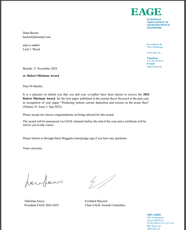
Honored to have received the Robert Mitchum Award from the European Association of Geoscientists & Engineers (EAGE) for my work: https://t.co/6JrkOPoZCF. This is already the 2nd award for this work! Thanks to my co-author Lesli Wood and to EAGE for this recognition!
@DriftersCSIC @IACT_divulga These have been proven to be shallow marine tide-dominated deposits. The contourite interpretation was based on undersampled data: https://t.co/h9mhE5gpDA.
Here's some weird or just very long Dutch translations for common geological terms:
Basin floor fan = Bekkenbodemwaaier
Oxbow lake = Kronkelwaard
Sea surface temperature = Zeeoppervlaktetemperatuur
Turbidity current = Troebelheidstroom
Shelf-edge trajectory = Bekkenrandtraject
The Basin Research @BasinResearch Early Career Award 2023 went to Daan Beelen @daanosaurus_rex for the paper titled 'Predicting bottom current deposition and erosion on the ocean floor' that can be found free here: https://t.co/6fkPomedrp
Congratulations!
The Basin Research @BasinResearch Early Career Award 2023 went to Daan Beelen @daanosaurus_rex for the paper titled 'Predicting bottom current deposition and erosion on the ocean floor' that can be found free here: https://t.co/6fkPomedrp
Congratulations!
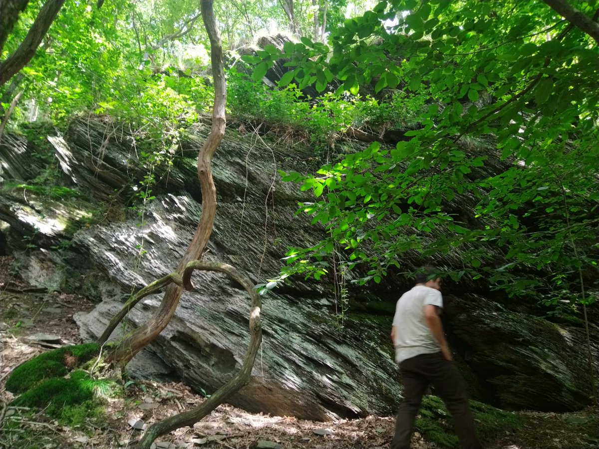
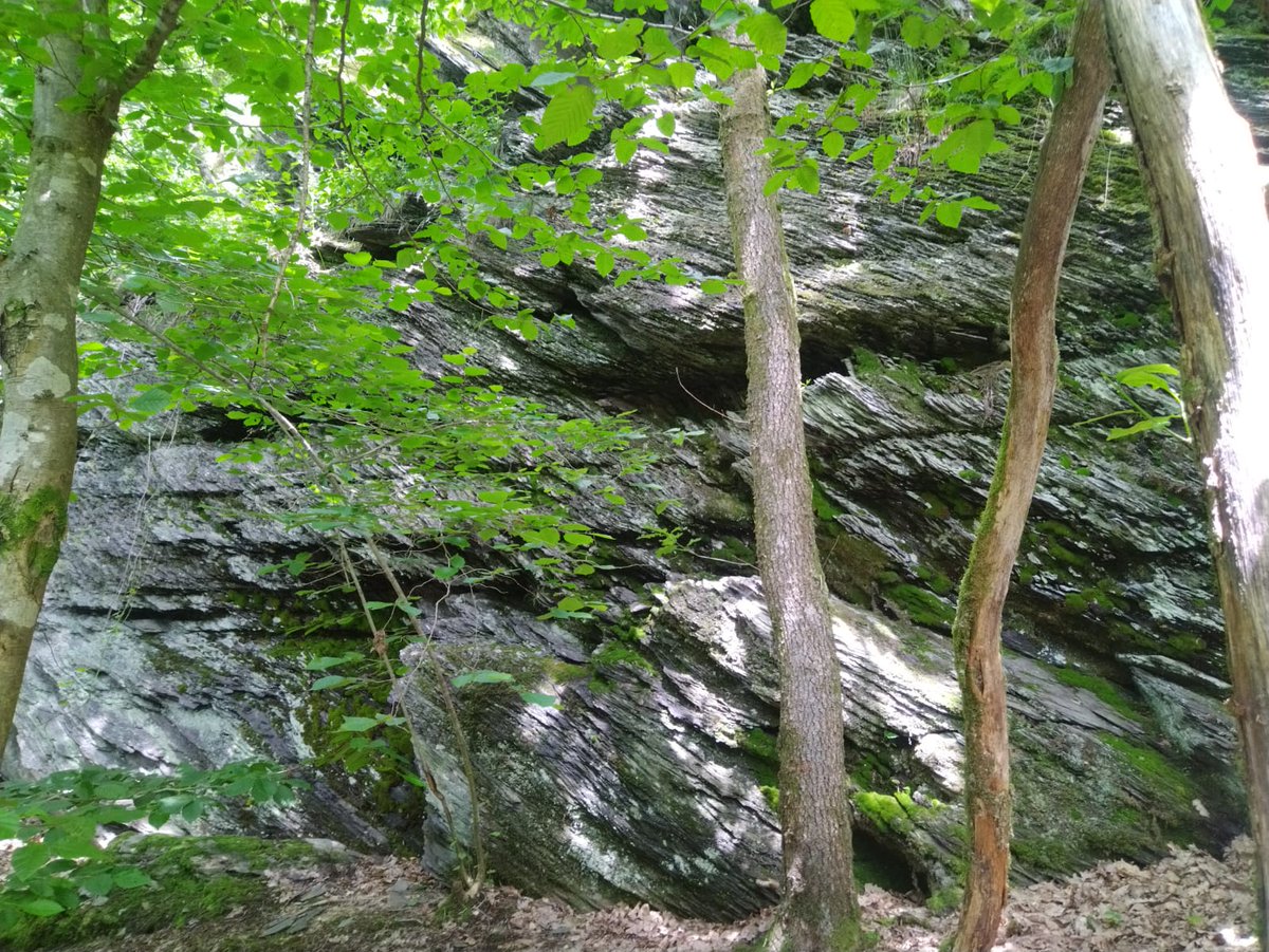
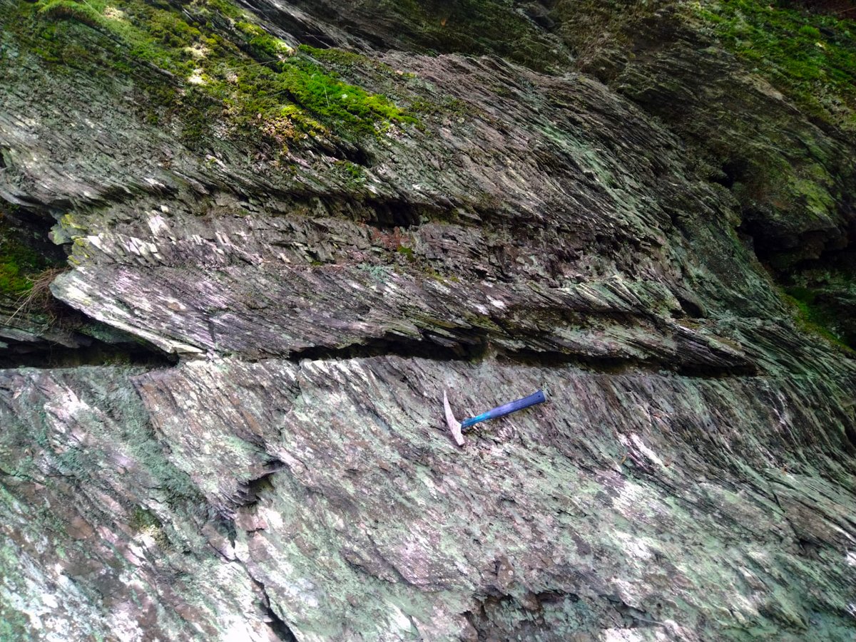
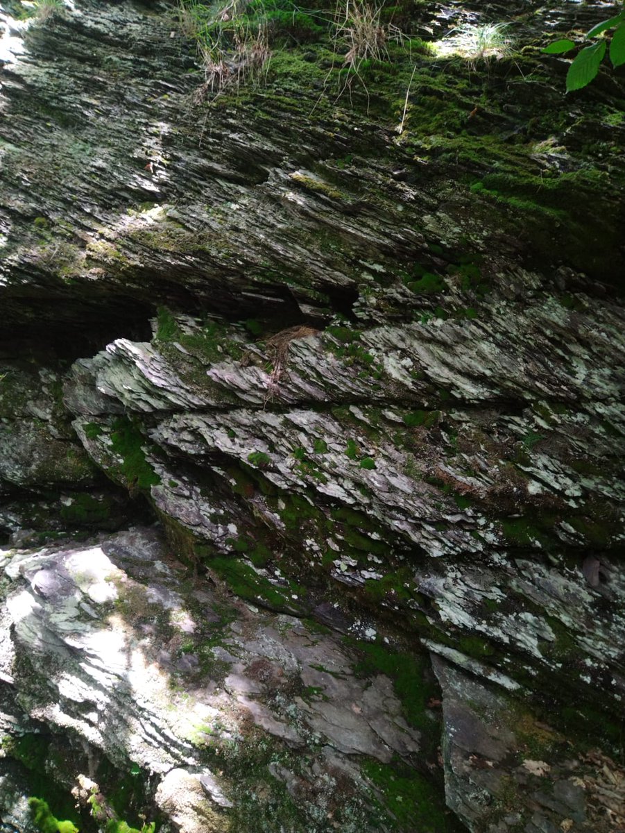
Some very cool trains of cross-stratified heterolithic siliciclastics from the Carboniferous in the Ardennes, Belgium. These are probably shallow marine (tidal?) sandstones and siltstones.
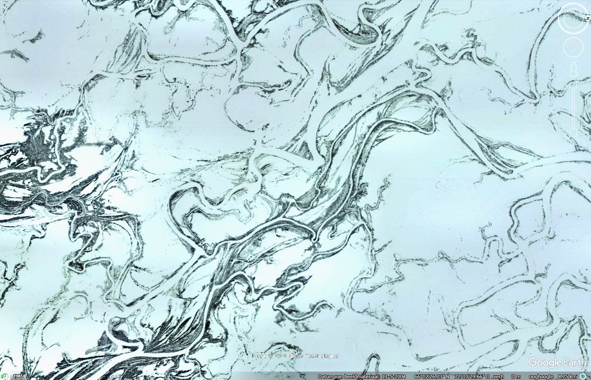
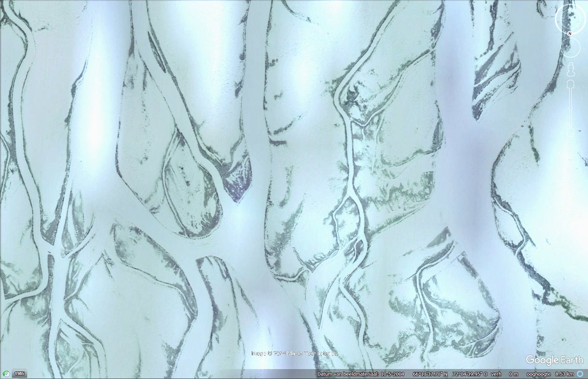
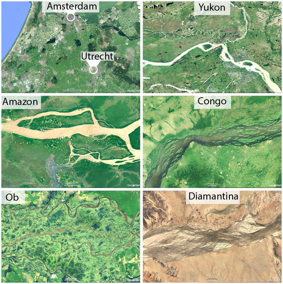
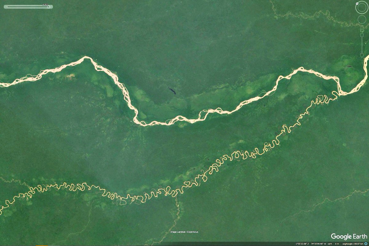
The sizes of the world's largest rivers can be hard to wrap your head around. The Amazon's main channel can easily cover the city of Amsterdam, while channel belts can exceed 70 km in width, easily exceeding the distance Utrecht-Amsterdam. All images below are on the same scale:
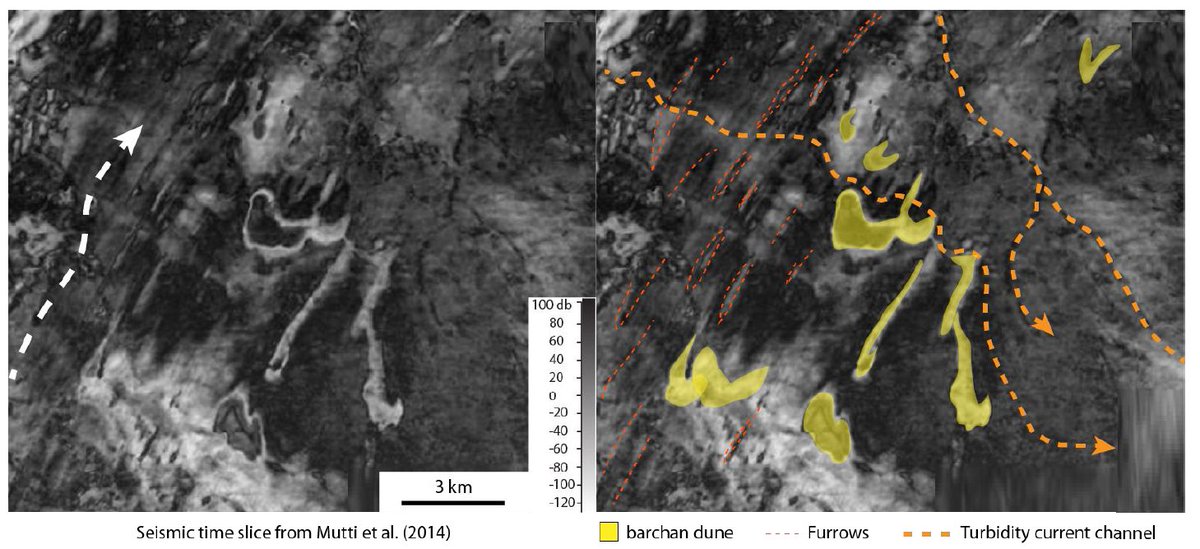
This is another rare example of deep ocean barchans. In this case, they are visible in seismic time slices off the coast of Uruguay. These Cretaceous dunes made out of foraminiferal sand, migrated parallel to the slope, probably driven by thermohaline currents.
These are barchan dunes at a depth of over 2700 m. They were imaged using high-resolution sonar back in the 70s (Lonsdale and Malfait, 1974). Such deep ocean barchan dunes are probably common but only 1-2% of the ocean floor has been mapped in sufficient resolution to see them.
Check out my recent SedsOnline YouTube Lecture about why sand dunes form and how you can predict their speed based on their shape: https://t.co/Dm3Y4e0rFO
The Hunga Tonga/Hunga Haʻapai volcanic islands. grew from 2006 until they were merged into a single island in 2015 that was 5km across. The 2022 eruption visible in one of the images was the largest explosion ever recorded, during which the islands disappeared almost entirely.