Great to be able to make the trip up to 🏴 for the #itree24 conference, to show the City Explorer Toolkit, and to cheer Scotland on tonight in the Euros ⚽️
We're excited to be at the #itree24#greenspaces conference at @dundeeuni this week! 🏙️🌳 Come see our City Explorer Toolkit in action. This helps city planners unlock the benefits of green & blue infrastructure 🦋
Visit our stand to learn more! https://t.co/OVrK753HtD
Jumping on Twitter to share our new publication looking at disparities in train ridership in Chicago and Urban Inequalities https://t.co/ifUCAA28a3
Big thanks to my co-authors @darribas and @Fcorowe! Finally, a DOI and a Google Scholar page to add to the PhD journey 🎉😂
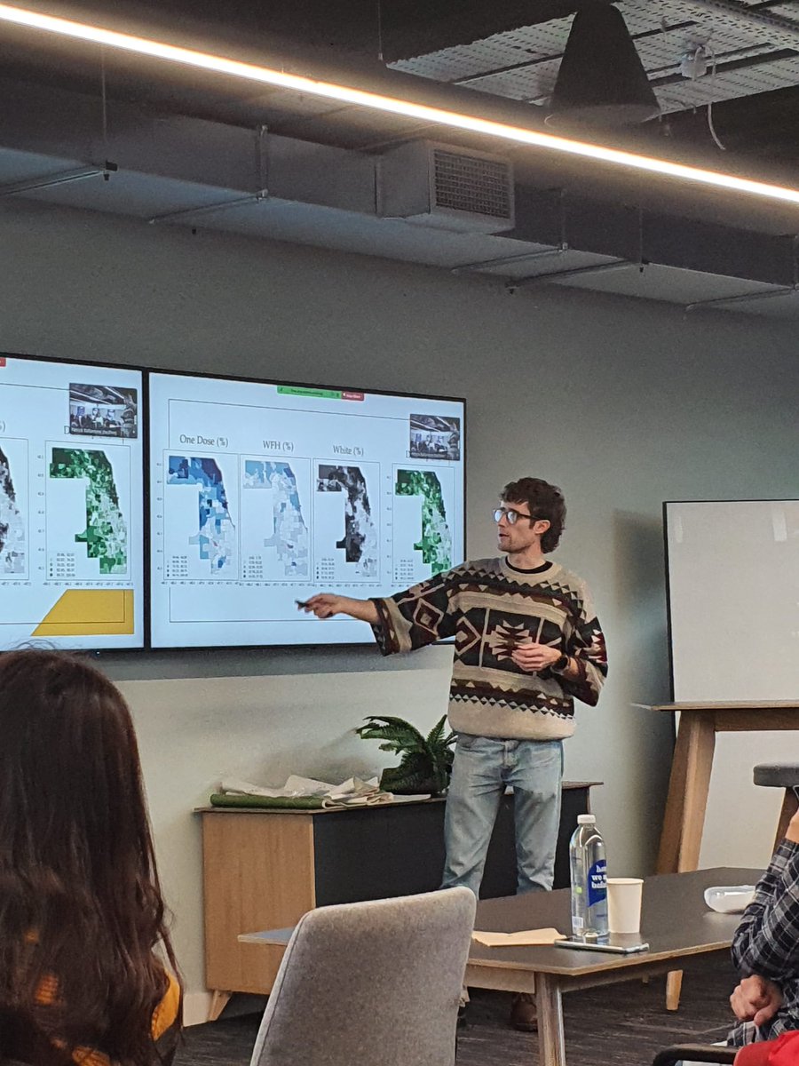
Knitted jumper and choropleth maps to complete the geography look 🌎 Really enjoyed presenting some results at this week's research exchange between @geodatascience and @KRIHS.
First time attending #GISRUK2022 and attending a conference without presenting (highly recommended!). Amazing experience and a great chance to see other ECRs and their work 😁 Massive thanks to all who organised and shout out to the @geodatascience
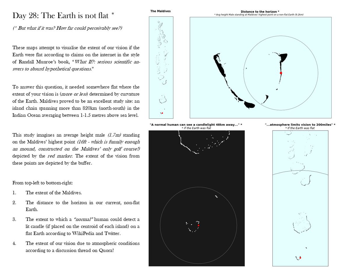
🛠30 DAY MAP CHALLENGE 🛠 In November members of the @geodatascience lab took part in @tjukanov's annual #30DayMapChallenge, check out all of our efforts on the GitHub repo: https://t.co/eCtoYXCN9f 💥🥳🔥
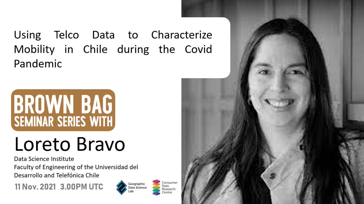
📅 EVENT 📅 Join us Thurs. 11th November @ 3pm for a GDSL Brown Bag seminar with Loreto Bravo @lbravoc from
@DataScienceUDD, who will talk about using mobile data 📞 to analyse mobility 🚶♂️🚶♀️ & inform lockdown policy. Super excited!!😁 To register visit: https://t.co/f7z1Wsg7Im
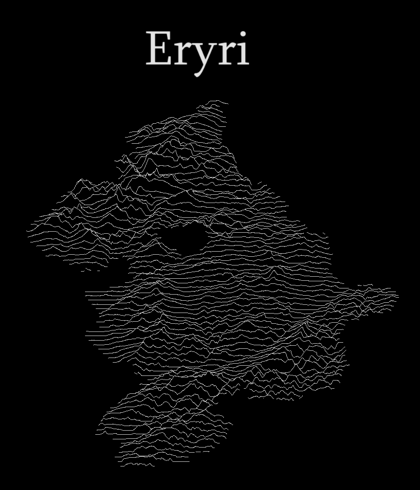
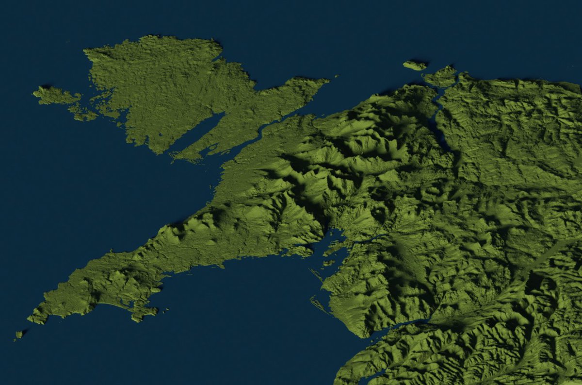
DAY TEN - RASTER 🏔 @DanialOwenCDT has created a 3D map of North Wales using OS Raster Data, QGIS and Aerialod. Instructions available at: https://t.co/PBqtySknjk #30DayMapChallenge