The last 10 days in Michigan:
Windows open ✅
Windows shut ✅
Tornadoes ✅
Blizzard ✅
Ice storm ✅
70mph winds ✅
Tornado watch ✅
Severe T-Storm watch ✅
70F✅
20F ✅
Below zero wind chills ✅
Hail ✅
Sleet✅
Rain ✅
Spring ✅
Fall ✅
Winter ✅
Lakeshore flood advisory ✅
Local area emergency ✅
Dense Fog ✅
Flood warnings ✅
Thundersnow ✅
Power outages ✅
Severe wx and winter wx at the same time ✅
5 mile suspension bridge closed multiple times ✅
GREAT JOB KUNO!
A #missing toddler was safely returned back to his family after a dramatic escape on Monday, thanks to the efforts of a Van Buren County K-9.
https://t.co/Zin34kvLgZ
#Kentucky#AMBERAlert issued for a 5-year-old girl after her mother was found shot to death
Lela Black, 5, is believed to be with her father, Byron Black, 42. They may be in a white Chevrolet Silverado with paint peeling off the hood, KY plate # 5J83779. https://t.co/YhIZWtd3pN
Daily update on the system for early next week:
We are gonna keep it short and sweet tonight. Here are some important bullet points.
•We still do not want to throw snow totals, rain/snow zones or anything too specific out there. When will we? See below.
•We WILL get specific as early as Saturday when data from this energy arrives on the western shore of the US. This will also be when our confidence is expected to be highest, or at least increasing dramatically. We MAY delay posting specifics if we see major shifting or changes that lower our confidence.
•We expect there to be some minor shifting. This is normal and expected.
•The models today have been consistent still. This is day 5+ of consistency between the major models. Even with the consistency, the track of the low is key to deciding who gets rain and who gets snow. Our next point explains more in detail.
•The current track is splitting our state into an all snow area and a snow/rain/mix area. So any amount of shifting will shift that dividing line. A small shift could mean the difference of rain or snow for a major population like Lansing for example. Ingham county is approximately 25 miles tall, so if this system shifts 25 miles north or south, that’s not only the population of an entire county, but multiple counties as Michigan is approximately 7 counties wide. The point I’m trying to make here is that minor shifts affect a HUGE population. So every detail is important and it’s why you won’t see an official accumulation and rain/snow map from us until we have some more confidence. We want our forecast to be accurate, not first out there. We could care less if we beat major and local news companies to the punch.
•Lake effect snow and higher wind gusts on Wednesday are beginning to look possible assuming the track doesn’t significantly shift.
•All modes of precip remain possible. Currently, the southern half of Michigan is in an area of concern for a wintry mix. Again, not a forecast, just an observation of consistent models.
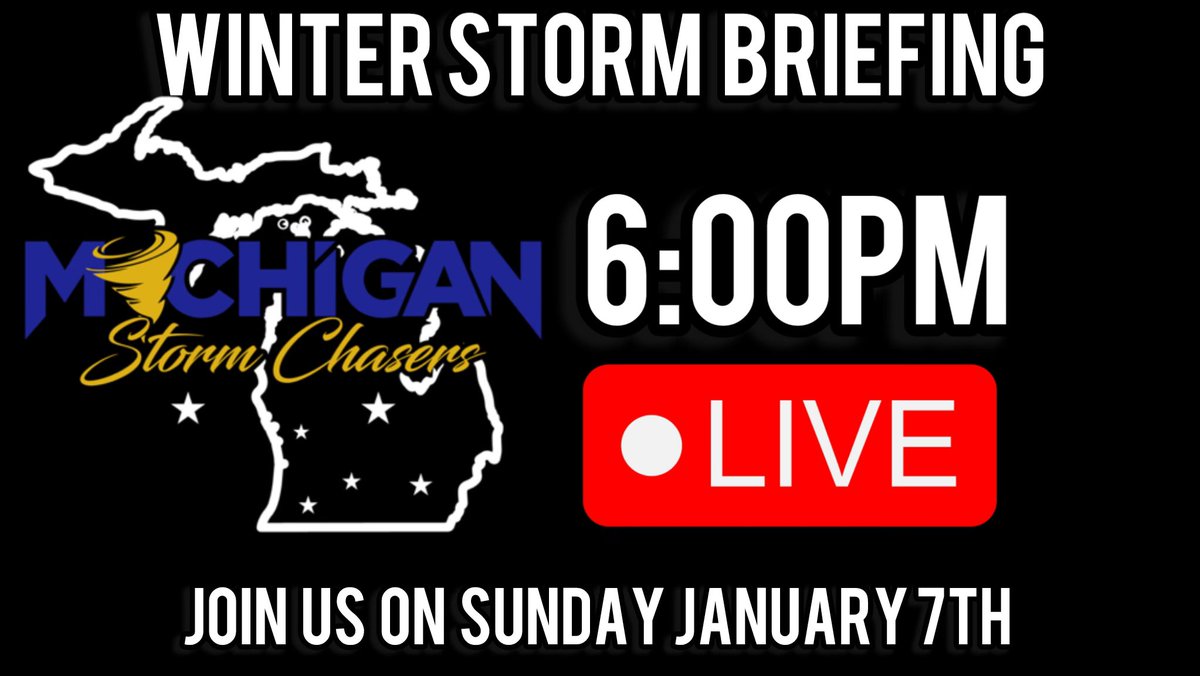
We plan to go live on Facebook and YouTube on Sunday at 6:00pm to discuss everything in detail and answer your questions. This is assuming no major changes happen to this system that steer it away from Michigan. (Which is unlikely at this time) An event will be posted on our Facebook shortly after this post goes live and will be pinned to the top of our page.
Thank you for your continued support. Expect another final update tomorrow before we plan to get specific on Saturday.
Let us know if you have any questions.
Daily update on the upcoming system.
We will keep it simple! Our confidence continues to grow in an impactful storm system moving our way which is forecasted to impact us starting early on Tuesday. We have been seeing a very consistent field of model solutions which make our confidence in a system impacting our area much higher than usual but it still leaves us with specific questions unanswered.
Some of those questions:
-> When will the bulk of the precipitation fall and where?
-> What kind of precip? Snow? Rain? Ice? Sleet?
-> How much rain and/or snow & ice?
There are many nitty gritty questions that everyone wants to know, and let’s be HONEST! This is important.
-> NO ONE KNOWS YET <-
We have seen countless people here on Facebook sharing inaccurate news articles and raw data snow maps to oblivion. We are still 6 days away from any impact. Any snowfall prediction you see, do NOT take as gospel.
So when will we know? When can we start getting specific? Let’s answer that. The answer is actually simple! You see, this piece of energy is still offshore of the continental USA, so we have not physically sampled this piece of energy yet. Remember back in school when we all learned abstract and concrete nouns? Think of the current models as an “abstract” solution. Meaning we can’t physically hold it or see it. It’s an idea. When this energy moves on shore, we can sample it. It then becomes concrete. At that point we have real, hard data.
Once we can sample the data, it’s then input into our models, and at that point the models will spit out what it thinks the best solution is. Also to note, it’s at this time where we will see some shifting and overall changes in models as new physical data is analyzed.
So in short, when we can actually sample this energy when it’s on shore and input into models, at that point our confidence increases and our answers to many important questions will become MUCH clearer.
When does that happen? Simple answer. Friday and Saturday. We want to see this data ran through a couple times to watch for any shifting trends or other changes. It’s for this reason we don’t post raw snow maps this far advance.
Now as for the current state of the models. The consistency has been unmatched since being 10 or 11 days away. It still is. Something we don’t usually see this far in advance. So reiterating what we said at the start, we expect to see impacts from this system given the constant nagging signal on all of our models, but it could be rain, it could be snow, or perhaps even wind. It all comes down to the exact track which currently favors a Michigan impact.
We currently plan to begin our live stream updates on Sunday at 6:00pm. (If needed) Be sure to keep an eye out for the announcement.
Everything you need to know about the upcoming potential storm system:
There is A LOT of hype surrounding this system that is showing up on the mid to long range models. You’ll likely start seeing this on your timelines if you haven’t already. The gist of the hype is a very potent low pressure system is modeled to bring heavy snow and gusty winds to the Midwest region.
PUMP THE BRAKES!
Today is January 1st. This system is forecasted for January 10th, a full 9 days away!
This happened earlier in the winter season where a “major snow storm” was supposed to happen and what ended up happening? Rain. Cold, depressing, rain. Forecasting exacts more than 48 hours in advance in the winter time is like throwing a dart at a dartboard of meteorological outcomes, while wearing a blindfold. In other words, don’t trust long term forecasts.
Here is what we DO KNOW.
1. A system is showing up on mid to long range models that appears to be potent. Currently every ensemble model member has this low pressure system reaching below 990MB which is fairly strong.
2. This system has been showing up consistently for a couple of days now so it does warrant attention
Here is what we DO NOT KNOW.
1. The exact track of this system. A shift in any direction will LIKELY HAPPEN. This alters the entire forecast and even timing of this system. Expected time is between Jan 9th to 11th.
2. The exact strength. While most model members show a strong low pressure, this range of just how strong (or perhaps weak) is still all over the place as and not consistent.
3. What kind of precipitation and how much. This will be dependent on how number 1. And 2. Play out. A northerly low track brings more warm air and thus higher rain probability while a southerly track would mean more cold air and perhaps snow potential. There also is the possibility of a major shift which leaves Michigan escaping the affects of this system all together.
While there is certainly a signal for a storm system, there simply is no way to tell if this will be snow, rain, mix, or nothing. Pay no attention to anything else you are seeing on your timeline. Stay with us here at MSC. We will update you daily on this potential system.
If you enjoy our posts, consider hitting that like button, and retweeting this post. The more people we reach the more people we keep informed! Thank you!