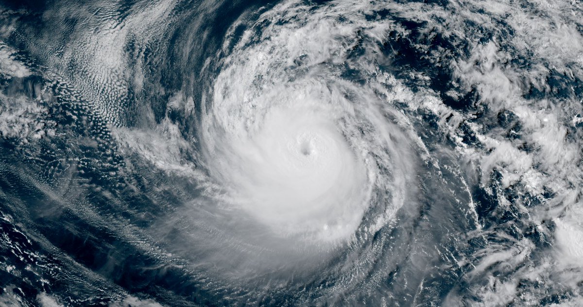
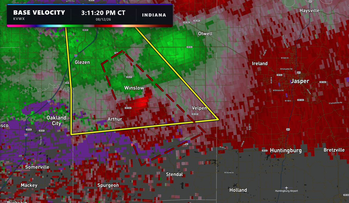
HURRICANE KARINA BECOMES A MAJOR HURRICANE IN THE PACIFIC!
Hurricane Karina has rapidly strengthened into a powerful Category 3 hurricane in the Eastern Pacific, packing sustained winds of 125 mph. Further strengthening is expected, with Karina likely to become the Eastern Pacific’s third Category 4 hurricane of the season. Fortunately, the storm poses no threat to land over the next five days.
2 areas of interest remain with a low chance of tropical cyclone development!
The northern Gulf area of interest has been designated Invest 97L and has a 20% chance of development before it makes landfall in the next day or two.
Meanwhile, the remnants of what was once Tropical Storm Dolly remain near the Bahamas, with a 10% chance of redevelopment over the next few days.
A NEAR-TOTAL LUNAR ECLIPSE will light up the night sky this Friday!
While technically a partial eclipse, 96% of the moon will be covered by Earth's dark shadow, giving it that incredible, "Blood Moon" appearance. The entire event will be visible across the eastern half of the U.S., while the West Coast will catch the show right as the moon rises.
DESTRUCTIVE WIND GUSTS exceeding 75 mph could sweep across the Plains today, with the most intense storms stretching from Minnesota and North Dakota down into northeastern Colorado also packing a threat for very large hail over 2 inches in diameter!
A MASSIVE WILDFIRE is rapidly spreading through Palo Pinto County, Texas!
The Ross fire has already scorched at least 7,000 acres and remains only 5% contained. At least 3 or 4 structures have already been damaged, and while no mandatory evacuations are in place yet, those in the town of Palo Pinto should closely monitor the situation!
SIGNIFICANT tornado damage in Dover, Delaware after a likely strong tornado struck the city a short time ago!
Thank you to Brendan for sending this in!