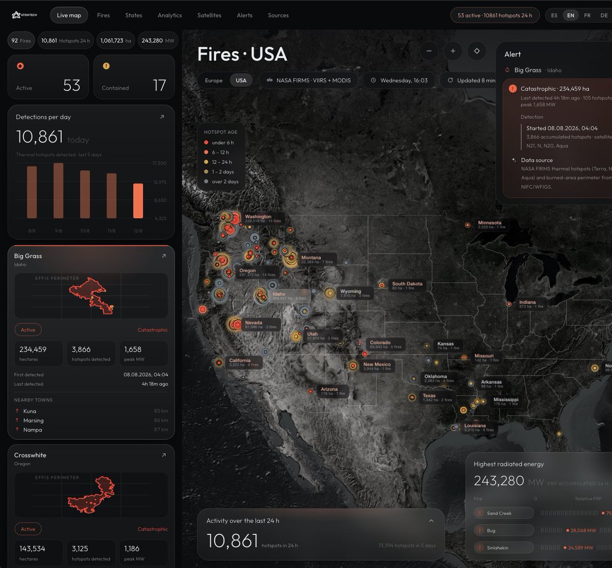
2M+ acres are burning in Idaho, Oregon and Washington right now.
California isn't in the top 5.
Everyone watches California. This year the Pacific Northwest is the story.
Live map, NASA FIRMS + NIFC data,updates every 2h: https://t.co/a5BgjsgBRV
#fires#wildfires#westernUS
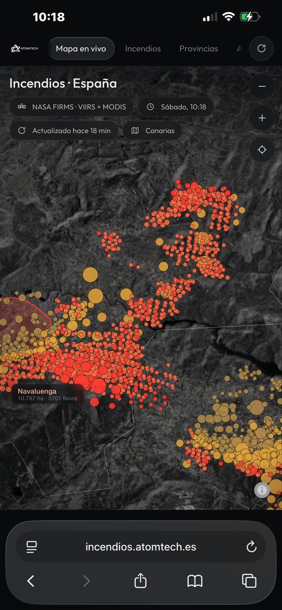
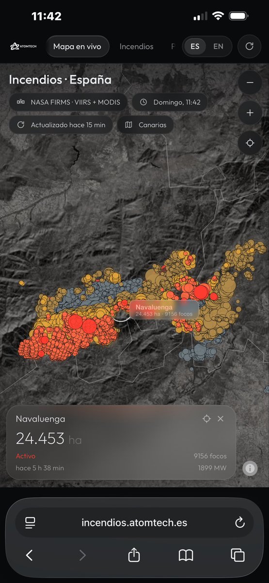
Por si a alguien le sirve, en esta web se pueden ver los incendios en tiempo real:
https://t.co/2y3UgjAlwe
Es un mapa en tiempo real de incendios en España basado en datos satelitales de la NASA.
Agrupa focos, indica hectáreas afectadas por provincia y se actualiza automáticamente
España vive una de las oleadas de incendios más fuertes del verano. 61.163 ha quemadas hasta el 12 de julio, un 52% por encima de la media de la última década.
Montamos una herramienta para seguirlo en vivo 👇
https://t.co/6tYMQlb4zK
@elonmusk Your system is amazing. Maybe you can make it on the moon? Is possible send starlink satellites to the moon to use it during the landing? Can be a solución for the problem of landing on the moon?