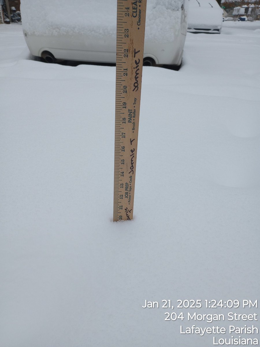
New all time record lows have been set across the region this morning. New Iberia and Lafayette both saw their all time lowest temperatures this morning while Beaumont and Lake Charles saw their second lowest all time temperatures.
I was expecting a downward trend in snowfall estimatesfrom the models but we just got the opposite from the GFS. The GFS is now coming up into line with most hi-res models with the possibility of 10" inches of snow or more in the heart of Acadiana.
The models are beginning to sync up regarding the arctic blast for Acadiana next week, and now confidence is starting to grow a little that there may be a winter weather "event" that could involve freezing rain, sleet and/or snow in the mix Tuesday into Wednesday! Still a week out so a lot can and will change.
The upper system/energy that may produce this potential winter storm hasn't even reached Alaska! So changes are likely. But I'll say this: this is one of the better set-ups for an accumulating winter "event" I've seen in the "forecast models" for our area in years. Now we'll watch for day to day model consistency, it will go back and forth, and we may get nothing lol, so stay tuned!
I would expect one or two hard freezes either way we go with an opportunity of getting into the pipe-busting teens for at least one night and perhaps a 36-72 hour period of sub-freezing temperatures which can be quite costly.
I'll have more this afternoon, and of course, in the days ahead! #lawx
SOUTHERN SNOW AND ICE! Next weather-maker for the region will be an area of low pressure that develops in the Gulf of Mexico by Thursday that could bring big snows from Texas into Arkansas with a potentially crippling ice storm farther south into Northwestern Louisiana and portions of Northeast Texas.
Acadiana looks to see just cold, soaking rains Thursday into Friday, but at the onset of precipitation there could be some non-accumulating sleet...so not expecting any travel problems locally. At least 1-2" of rainfall expected Thursday into Friday.
More coming up on KATC at 5pm! #lawx
Another severe risk is coming to Acadiana on Saturday and I think this is a greater threat compared to last night.
The atmosphere will be more supportive for damaging winds, tornadoes, and large hail.
Per the latest mesoscale discussion from the Weather Prediction Center (WPC): While severe dynamics decrease across the region the lingering slow-moving storms are maintaining some locally heavy rainfall rates & localized flooding possible where some storms will tend to repeat or "train" in the "scalloped" area tonight through the wee morning hours.
Per the WPC: "spotty swaths of 2 to 4 inch rainfall totals possible".
Technical discussion: https://t.co/975gVYTOhn Power Doppler 3: https://t.co/mX7E86Y6NR #LAwx #AcadianasRadar #KATC