Mientras el país cambia de tema a cada rato conforme a la agenda de Palacio, el pozo #Krem1 sigue fuera de control contaminando el medio ambiente.
A lo mejor usted ya lo sabe, pero no está de más recordar que mañana sábado será el #Dia143 del accidente petrolero en #LasChoapas.
El plazo que fijó @Pemex para controlarlo venció hace semanas, y no hay una nueva fecha, solo silencio.
Le invito a ver en lo que se convirtió el paisaje selvático de la zona, con los ojos de mi amigo Adán Castellanos.
Él con sus comentarios y videos, me ha ayudado a mantener este conteo, que creo que se ha convertido en una bitácora del abandono, el calendario de la normalización de un desastre.
Perdonen que insista, pero hoy es el #Dia140 del descontrol del pozo petrolero #Krem1
Y mire cómo se ve desde el satélite un hecho que en cualquier otro país, sería una emergencia ambiental.
No son nubes: es el gas crudo liberándose a la atmósfera.
Hace 42 años, un pozo fuera de control se taponeaba en menos de cinco días. Hoy @Pemex tiene otras prioridades y ni las familias ni el medio ambiente le importan.
@greenpeacemx@Cartocritica@CEMDA@ONU_derechos
Vea el reporte completo:
https://t.co/oqCcbUMW08
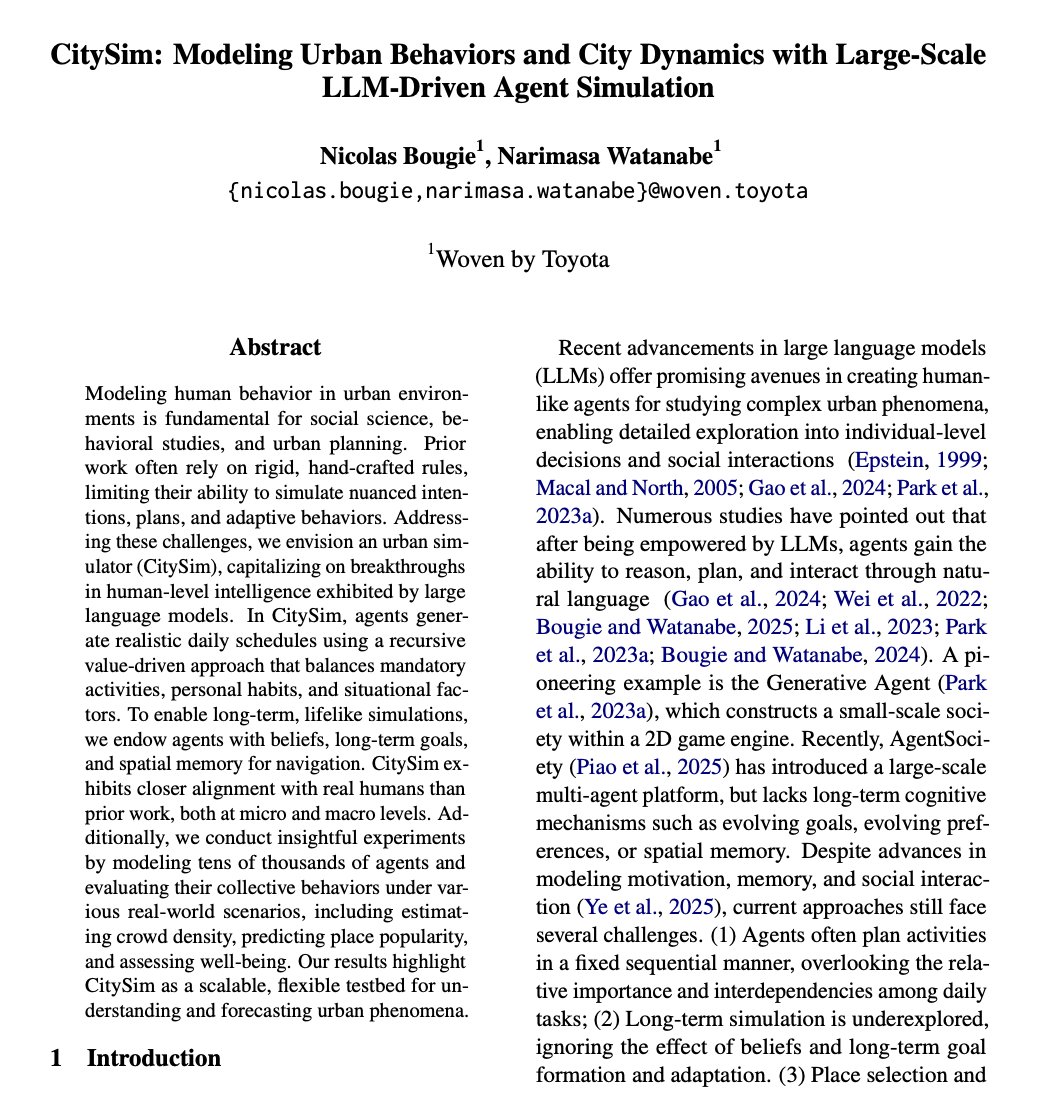
Japanese researchers created a system that simulates an entire city by generating up to 1 million virtual residents who behave like humans using LLMs.
And it predicted real-world with terrifying accuracy.
They created an urban simulator called "CitySim" that populates a digital twin of Tokyo with up to 1 million autonomous AI agents.
Each resident is powered by an LLM, complete with:
• Personal memories
• Long-term goals
• Human-like desires (hunger, fatigue, social connection)
• Spatial awareness and navigation
Most urban simulations rely on rigid, hand-crafted rules, if A happens, B follows.
CitySim is different. It’s "value-driven." The agents have agency. They generate their own schedules based on their personal habits, situational needs, and changing environments.
When researchers ran the simulation in Tokyo, the output was chillingly accurate.
Weekday commuting patterns, weekend leisure activities, and shopping habits matched Japanese government statistical data with near-perfect precision.
It even successfully predicted crowd distributions in Shibuya and identified which stores would actually become popular, months before the real-world data caught up.
The implications for urban planning are massive.
We can now safely and cost-effectively test disaster preparedness, commercial site planning, and public infrastructure upgrades without moving a single physical person.
But it’s not just about planning.
The researchers are already looking at implementing high-level human drives, like "self-actualization," into these agents to see how they evolve.
The paper went up on arXiv in June 2025 and almost nobody outside computational social science has read it.
Federal health officials say Taylor Farms is the likely source of the nationwide cyclosporiasis outbreak that has sickened people in at least 34 states. The California supplier provides lettuce to Taco Bell and major retailers including Walmart, Target and Whole Foods. https://t.co/HEaIzgdop6
El clima (político) en el hemisferio norte de América indica que en México se avecina una intensa temporada de chapulines. Hay que ser observadores para mantener la trazabilidad
A pesar del arancel de 50%, el déficit comercial de México con China para enero-mayo del 2026 fue exactamente el mismo que en 2025: 37.8 mil millones de dólares. Aguas @El_Universal_Mx
🚉 | La indeleble huella de carbono del Tren Maya
Para abrir paso a las vías, se talaron 11,500 mil has. de selva (equivalentes a 11 mil campos profesionales de fut) 🏟️
Un estudio científico dimensiona por primera vez la huella de carbono de la obra: se liberaron a la atmósfera un millón 727 mil toneladas de CO2.
No es poca cosa: equivale a las emisiones de 375 mil autos de gasolina durante todo un año. ⛽️
✒️ @Orkydya
https://t.co/KoGON5M185
The majority of humanity lives within a relatively small bandwidth of latitude. This #map is one of my all time favourites. It was created by https://t.co/cmsbuqqQkQ in 2008 and remains a true classic today: https://t.co/NazVnjBBU2
Si quieres ver de forma interactiva cómo era la tierra (hasta 750 millones de años antes) échale un vistazo a: https://t.co/5kBO7u3udg de @iwebst, puedes revisar la ubicación del lugar en el que vives
Las quejas sobre la altitud de la CDMX en el partido de mañana, me hacen pensar que en lugar de un partido de futbol intenterán colonizar Marte, o escalar el K2 #MéxicovsInglaterra ¡ubíquense!
🏟️ Atlanta, 1996
Marie-José Pérec made history as the first athlete to successfully defend an Olympic 400m title, clocking an OR of 48.25s
She later added the 200m title to become the second woman to complete the double, a feat no woman has matched since
Parece que cualquier comportamiento reprobable resulta respetable cuando es descrito con un nombre impronunciable, enredado o sofisticado. No hace falta que el nombre explique el problema; basta con que alivie la culpa. Este es un prodigio de nuestro tiempo
@MrCalambres Cambié de número hace como un año, e igual, desde entonces parezco asistente de un vato llamado Santiago, que debe tarjetas de crédito en Santander y Banamex, además de Izzy y Elektra 1/2
GeoLibre v1.6.0 is here!
GeoLibre is a free and open-source, lightweight, cloud-native GIS platform for visualizing, exploring, and analyzing geospatial data. It runs everywhere you do, in the web browser, on the desktop, on mobile, and inside Jupyter notebooks, all while keeping your data local and private.
This release brings multi-map layouts, advanced cartographic symbology and labeling, and a one-click way to install external plugins from a zip.
What's new in v1.6.0
- Multi-map grid: Split the workspace into a grid of synchronized map views to compare basemaps, layers, or time steps side by side.
- Advanced symbology: Style features with a rule-based renderer, proportional symbols, fill patterns, and a built-in marker library.
- Label engine: Label vector features by any attribute, with full placement and styling control.
- Install plugins from a zip: Add external plugins from an uploaded zip on both desktop and web.
- New vector analysis: Movement, space-time, and cell-coverage tools under Processing.
- Faster sample data: Ready-to-load example datasets from a dropdown in every Add Data panel.
- Place search in the layer panel: Geocode and fly to a location without leaving the Layers panel.
Try it out
- Live demo: https://t.co/hOVekblXMc
- GitHub: https://t.co/VXq8c1o2Nd
- Documentation: https://t.co/7VA2AQoCUc
- Release notes: https://t.co/e39LunOEWW
#GIS #GeospatialData #OpenSource #RemoteSensing #DataVisualization #MapLibre #Python #Cartography
Mi apreciada @NievesJemezB ha entrevistado a mi querido @HGyDCT, autor de «Deshumanizando al varón. Pasado, presente y futuro del sexo masculino», donde analiza el lugar del hombre en el discurso feminista hegemónico.
https://t.co/njzKrpWD2z
El Papa se pronuncia sobre la trata de personas: "tu vida no es de quienes te dañaron, tu cuerpo no es de quienes se aprovecharon de ti, tu vida pertenece a Dios"