As severe weather season approaches, it is imperative to get forecasts and alerts from RELIABLE sources! Be sure to text @apexstorm to ‘81010’ to get the following perks!
#txwx#dfwwx#ntxwx#apexwx
@MikeMorganKFOR@kfor My thoughts Echo yours. Could be more of a conditional significant severe threat on Friday for Oklahoma if the EML isn’t too strong or the jet streak trends further south to provide just enough lift for storm initiation?
The amount of *degreed meteorologists* posting either global model output data directly or graphics containing global model output data is… definitely a choice. 😵💫
🍂 DFW 14 DAY FORECAST 🧥
Thanksgiving this year looks dry and chilly!
Next chance of rain this weekend with some lingering drizzle into Sunday.
Wintry mix is POSSIBLE early next week along with colder temps.
This forecast WILL change, so stay tuned!
#txwx#dfwwx#ntxwx
🍂 EXCITING TIMES AHEAD FOR DFW 🍁
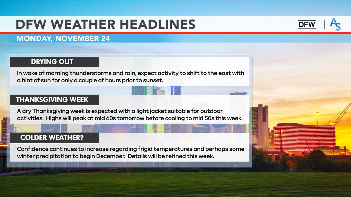
The rest of the week will remain dry, including Thanksgiving. Perfect jacket weather 🧥
Colder weather is on the horizon, including freezing temperatures and non-zero wintry mix chances 🥶
14-DAY FORECAST coming this afternoon!
#txwx#dfwwx
☔️ Heads Up, DFW! ☔️
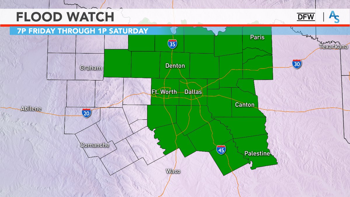
A Flood Watch is in effect for DFW in advance of widespread rainfall tomorrow into Sat.
🌧️ 2-4" totals likely with localized 5-6" possible
⛈️ Heaviest rain from 4p Friday - 7a Saturday
⚠️ This WILL disrupt Friday evening-Saturday plans!
#txwx#dfwwx#ntxwx
☔️ DFW WASHOUT ☔️
Widespread rain event likely starting late Friday lasting through all of Saturday!
Average rain amounts of 1.5-2.5” likely with locally higher totals 🌧️
‼️ Flooding threat will be maximized Friday night into Saturday morning
#txwx#dfwwx#ntxwx#apexwx
🍁FALL FINALLY COMING? 🍁
Strong signals that our first meaningful shot of cooler air could arrive NEXT weekend into Monday!
A weak low in Mexico, combined with a cold-core trough may be enough to break our upper-air pattern to allow for a cold front to pass through!
#txwx
@tylerkwx03 I remember that day quite well; it was a tornado watch, not a severe thunderstorm watch tho… T-Storm watch is a first
I was hyping it up in eighth grade only for nothing to develop, which was good, in hindsight
🚨 PARTICULARLY DANGEROUS SITUATION 🚨
For the first time ever in DFW, the NWS/SPC has issued a PDS Severe Thunderstorm Watch (80-100+ mph winds, large hail 3”+) until 4:00am.
Charge your phones, have a way to receive warnings, and remain vigilant tonight.
#txwx