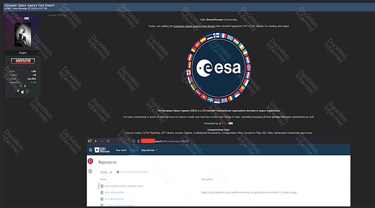
.@esa confirms data breach, but says it's not clear that any classified/secure data was stolen despite claims from dark-web data broker offering to sell it.https://t.co/XQByXtsAxK
💡In just 1 week, experts, policymakers, and end-users will gather in Kranj, Slovenia to explore how satellites are transforming disaster risk management.
Learn more and register⬇️
https://t.co/fekzXP4Pm7
Cool that @planet has won this @NGA_GEOINT partnership for its Luno B program on AI!
We agree with @NGA_GEOINT that space + AI is the future: It's enabling cool new applications. We also think Planet's uniquely positioned with its daily scan of the entire landmass and archive over 3,000 layers deep on which to train the models - with huge security implications for finding new acts around the planet. The Holy Grail in intelligence is finding unknown unknowns, not just looking in more detail at known knowns.
Details here: https://t.co/d0aBTJpGmL
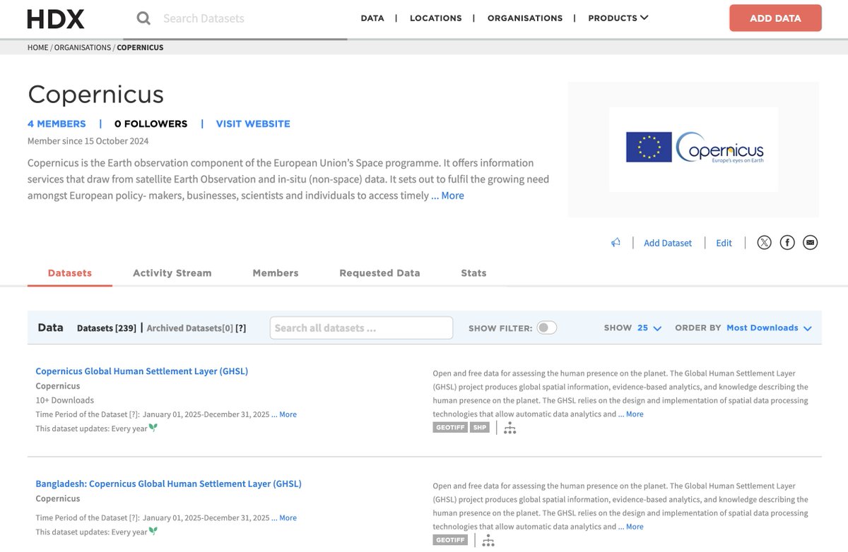
⭐ Welcome to the HDX community, @CopernicusEU!
Copernicus, the Earth observation component of @EU4Space, now shares settlement data on HDX for over 238 countries & territories, providing valuable insights into human presence across the globe.
Explore: https://t.co/zHmFlAwBfE
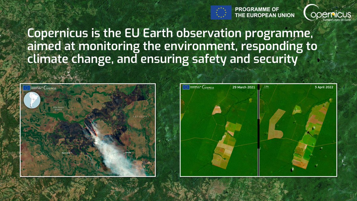
@LionnetPierre These are images of burnt areas, so not quite useful for the response phase, but rather for the recovery phase.
I also wonder the same every single time there is a disaster event & companies rush to bring out images, which most of the times come after the core event took place
Last month, we collaborated with @EU4Space to host an online workshop to showcase how EU Space data, particularly Copernicus, can support sustainable forestry practices. Find out more: https://t.co/OrQH1GbTkN
@aravindEO This comparison makes sense at stand-level, rather than tree level because the density dynamics change as the stand progresses and grows. I'm not sure about the consensus though!