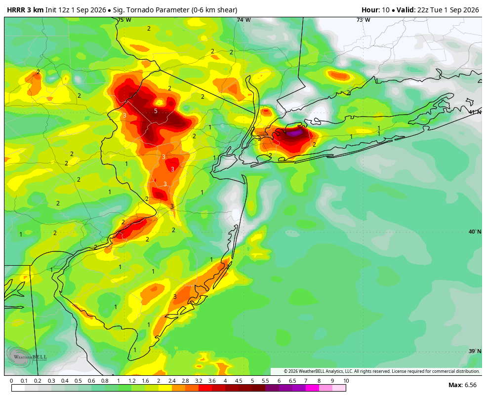
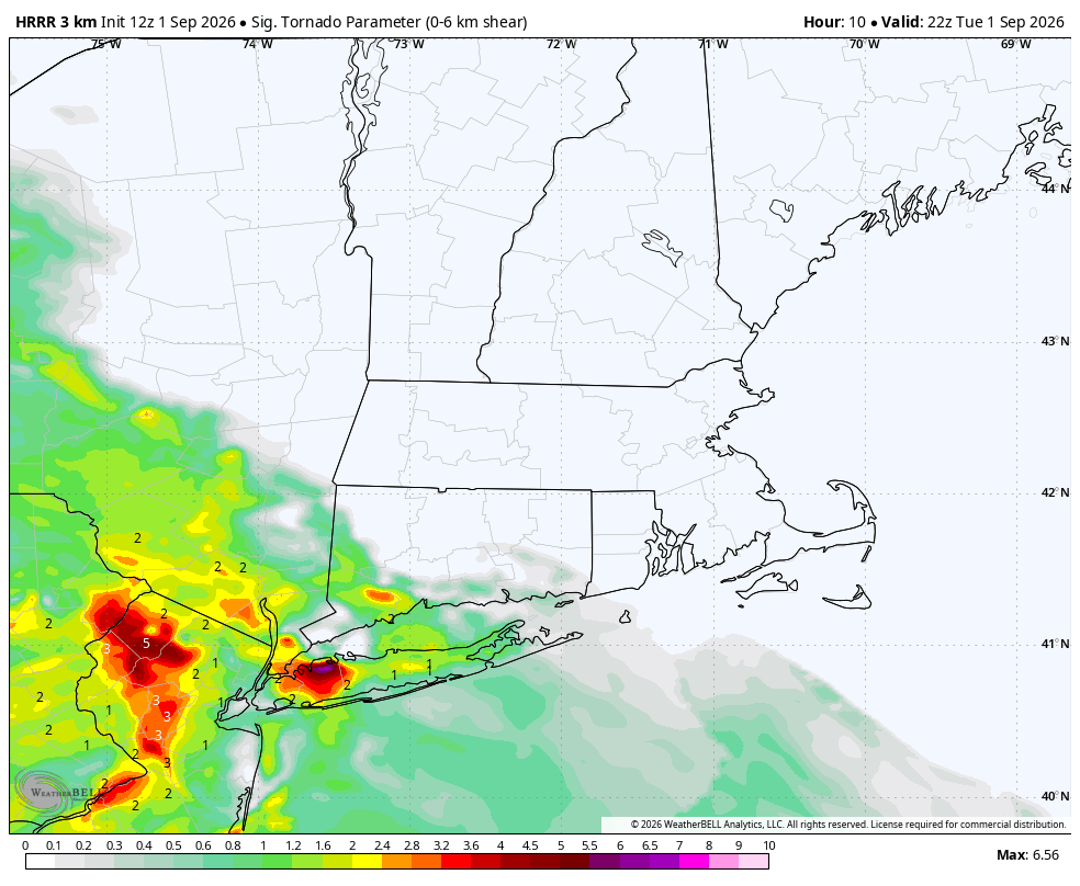
A last-minute uptick in overall confidence with today's strong/severe thunderstorms around the NYC metro has prompted the SPC to expand the slight risk to include most of the area.
Given a somewhat favorable parameter space and a supportive storm mode, a tornado or two is possible along and west of the I-95 corridor from Philadelphia to NYC. #nywx #njwx #pawx #wxtwitter
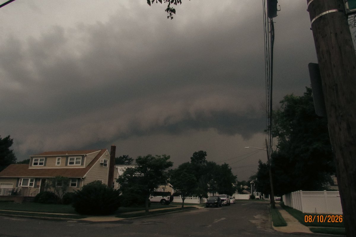
Strong to severe storms are expected to form near and on Longisland early this evening and tapering off by 10-11pm🌩️
Main threat will be strong/damaging winds, small hail and the possibility of an isolated tornado
I have been going on walks the last 5 days to better my health/mental health.
I have been collecting a rock every walk to keep track of how many walks I have been on. Imma update the jar at the end of every month
Here is Augusts rock-jar (5 🪨)
An elevated severe weather threat has already been introduced for next Wednesday...
Looking ahead to Wednesday, weather models are in unusually strong agreement that an upper-level disturbance will track from the eastern Great Lakes into the Mid-Atlantic and southern New England. As a powerful mid-level jet moves over a warm, humid airmass, it will create a highly favorable environment for organized storms. Where these favorable conditions overlap, the potential for severe weather increases, which is why a risk area has been introduced that includes Buffalo, NY, and New York, NY!