Discover how we make agriculture an attractive, modern and more sustainable business practice throughout Africa, the Caribbean and the Pacific #ACPNewPartnership#SDGs
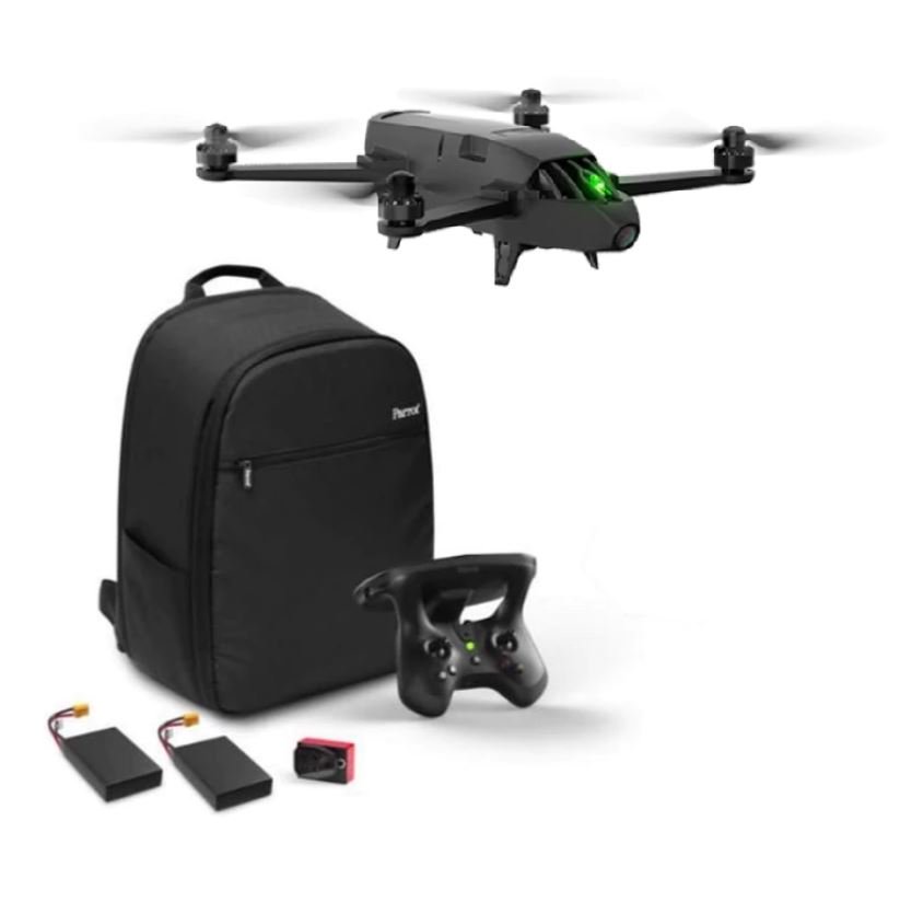
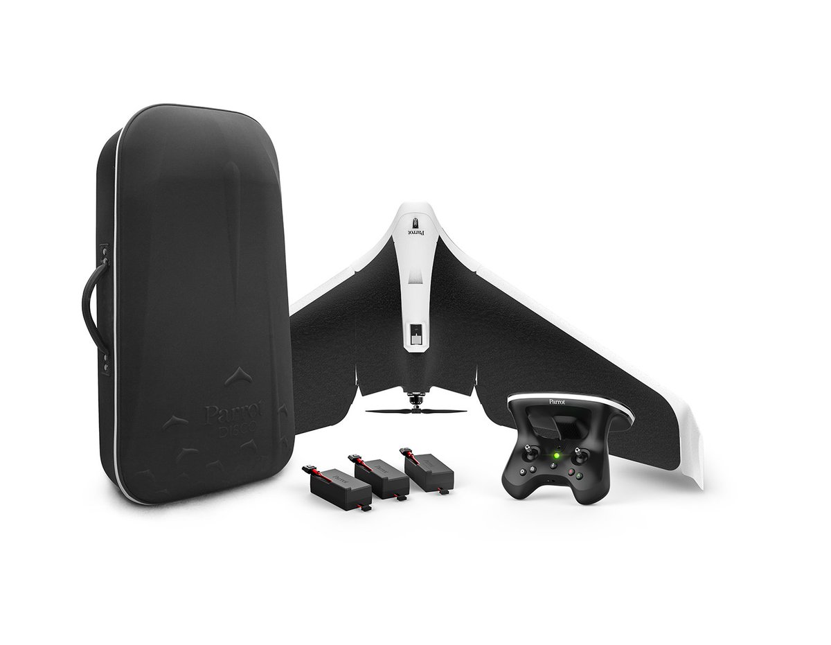
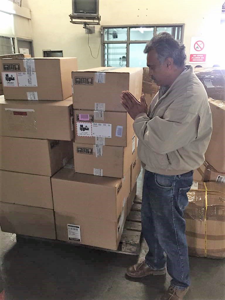
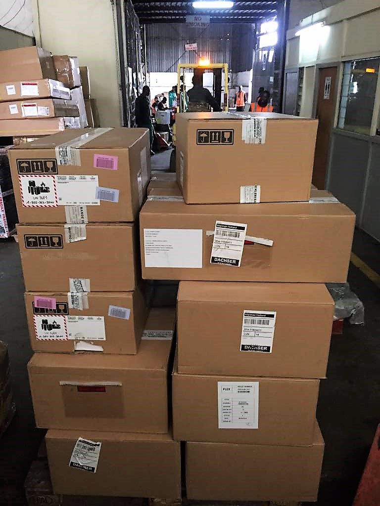
Happening now: Finally 😅@Parrot equipment reached #Lusaka airport. Still working at its inspection and clearing. Hopefully #startups attending #UAS Capacity Building, #Enterprise Management & Business Development Wshp 🇿🇲 will access it within the day | @CTAflash#EUDev support
@WRubaaho @patrickbitature One wise man said, "When you fall, just work at getting up. That is all that matters after falling not necessarily the world's perception."
Happening now: Our colleague Giacomo Rambaldi @iapad will deliver a 📡presentation on CTA experience on Drones for Agriculture in Africa, during the FAO-ITU Regional Training on the use of #drones, #satellite#imagery and #GIS for agriculture at the Asian Institute of Technology
Eagle Eye Drone Solutions Maps PART-3
With our drone technology, land surveys can help to measure land & map boundaries with pin point accuracy. These survey reports can aid in real estate related legal services.
#Legal#Land#Map#3DModel#landscape#technologies#Surveying