@TropicalSaiel We're quick to forget that the only locations in NC that average over 12" annually are those prone to NWF events. 2/3's of our state doesn't average 6". When there are big winters east of the Apps, it's usually the result of just 1 or 2 storms with all the ingredients in place.
@TimBuckleyWX Those storms along the gulf are just a big moisture sponge. Snow lovers west of the Coastal Plains and below 3000’ should be very happy if they have 1”+ come Thursday afternoon.
@EFisherWX This event has been all about being north of the warm nose and catching some heavy bands. 5.5” of powder with no mixing in Mount Airy near the state line.
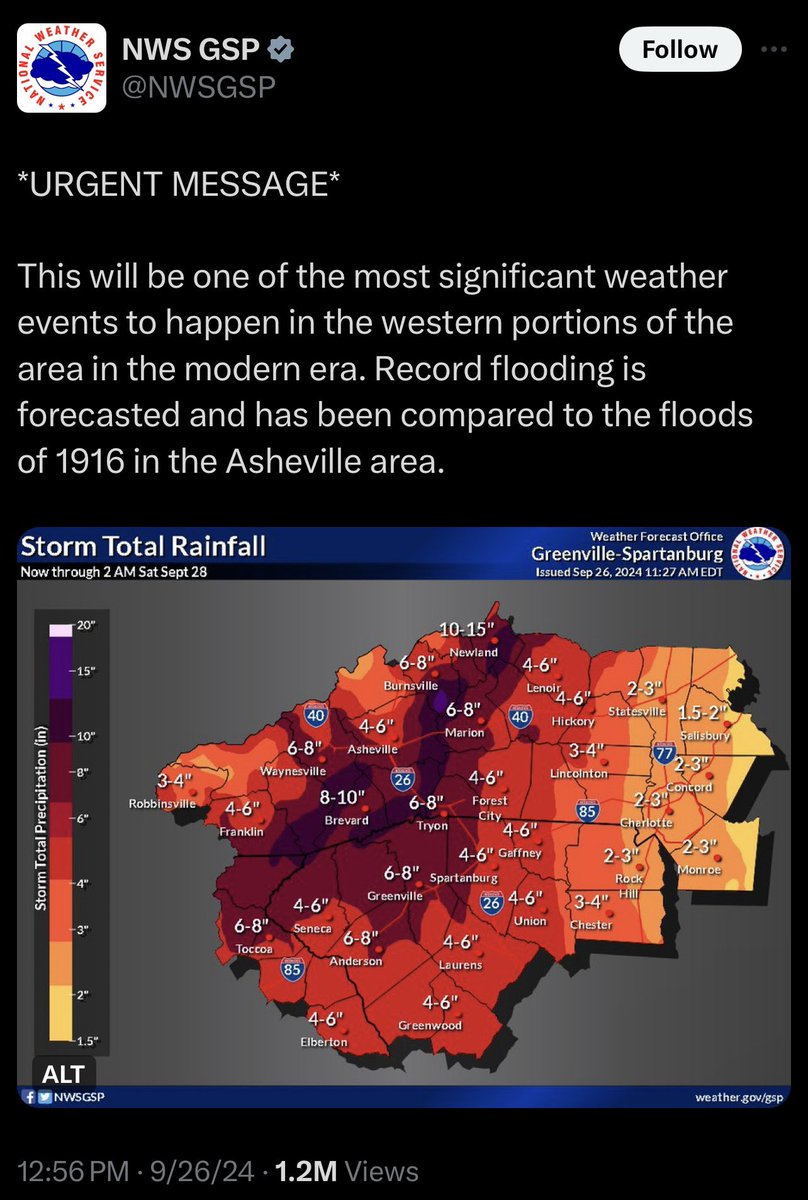
@Oof86583180@BenNollWeather Yes this is called orographic enhancement, the main reason why the highest rainfall totals were in WNC along the escarpment.
@wxbrad As of now I believe it’s not going to be tilted nearly as positive as our classic NWF producers tend to be. Hoping that can help the cold air catch up quicker than usual on the back end though.
We are excited to join Mount Airy High School in celebrating seniors as they approach graduation! We would like to introduce a few members of the Class of 2020! https://t.co/70UImsz9oN