West central, NW OK and our panhandle had wonderful rain yesterday/this AM! Some spots received 2”+! Thanks to our viewer, Erick Huling, for sharing this beautiful pic of from Sayre!
6.4.26 @kfor#okwx
Check out all of the wonderful rain in drought-stricken western OK! A line of storms from Buffalo to Leedey continued to drift north with torrential downpours, up to nickel size hail and 40-50 mph gusts. Watch for localized flooding!
5:47PM Wed @kfor#okwx
A storm complex in KS will move into northern OK overnight and central OK early Tuesday AM. 60-70 mph winds, quarter size hail and localized flooding will be the main threats. It could graze the Metro around the morning drive. We will keep you 4Warned!
9:20PM Mon @kfor#okwx
1 severe storm remains in northern OK, near Enid and Kremlin. A 65 mph gust has been reported in Kremlin. The storm is moving NE at 20 mph towards Pond Creek and Lamont.
5:30PM Fri @kfor#okwx
Thanks to our viewer Jeff Thomure for taking this nice pic of heavy rain in Midwest City, around 10:30AM. Portions of the Metro picked up a quick 1-2” of rain! ☔️ What a nice late-week treat!
5.29.26 @kfor#okwx
Widespread rain without severe weather?! Yes! Will Rogers recorded an inch of rain! ☔️ This marks the start of a wet weather pattern - rain is likely all day Thursday!
9AM Tue @kfor#okwx
The TORNADO WATCH has been cancelled- thankfully, the first round didn’t produce much. Some wind and hail. The next main round is the cold front, w/severe storms now in KS. Storms will increase in coverage across OK overnight-Tue AM. Damaging winds are the main threat.
9PM Mon
A TORNADO WATCH has been issued for western OK until midnight. Storms have developed in SW OK and west central OK with up to quarter size hail and 60 mph winds possible, so far. Stay tuned to @kfor for the latest!
5:10PM Mon #okwx
A WIND ADVISORY has been issued for portions of northern and western OK until 9PM. South winds 20 to 30 mph with gusts to 45 mph are expected.
A RED FLAG WARNING is also in effect for NW OK.
9:30AM Sun @kfor#okwx
The north OKC/Edmond/Arcadia storm has weakened and is no longer severe. There’s a strong storm near Lookeba, moving east at 45 mph towards Union City, Yukon and Mustang. 50 mph winds are possible.
9:18PM Fri @kfor#okwx
The storm over Bessie is severe, moving east at 30 mph towards Corn, with a new storm forming ahead of it. Up to penny size hail and 60 mph winds are possible.
8:22PM Fri @kfor#okwx
The storm over El Reno is severe, moving east at 20 mph towards Yukon and Piedmont. Quarter size hail and 60 mph winds are possible.
8:20PM Fri @kfor#okwx
Heads up decaying thunderstorms are posing a damaging wind threat with up to 70 mph winds. Storms are moving east at 25 mph, towards the west Metro. There’s also a hail core near Geary.
Watch KFOR-TV for the latest.
7:12PM Fri @kfor#okwx
Happy #TwisterDay! Seems fitting that the 30th Anni is on #MothersDay. Jo Harding planted a seed for my career. Bill gave a video message at my wedding. My 35th bday was #Twister themed. It all came full circle, being a part of #Twisters. Movie quote-off…go!
#greenage#suckzone
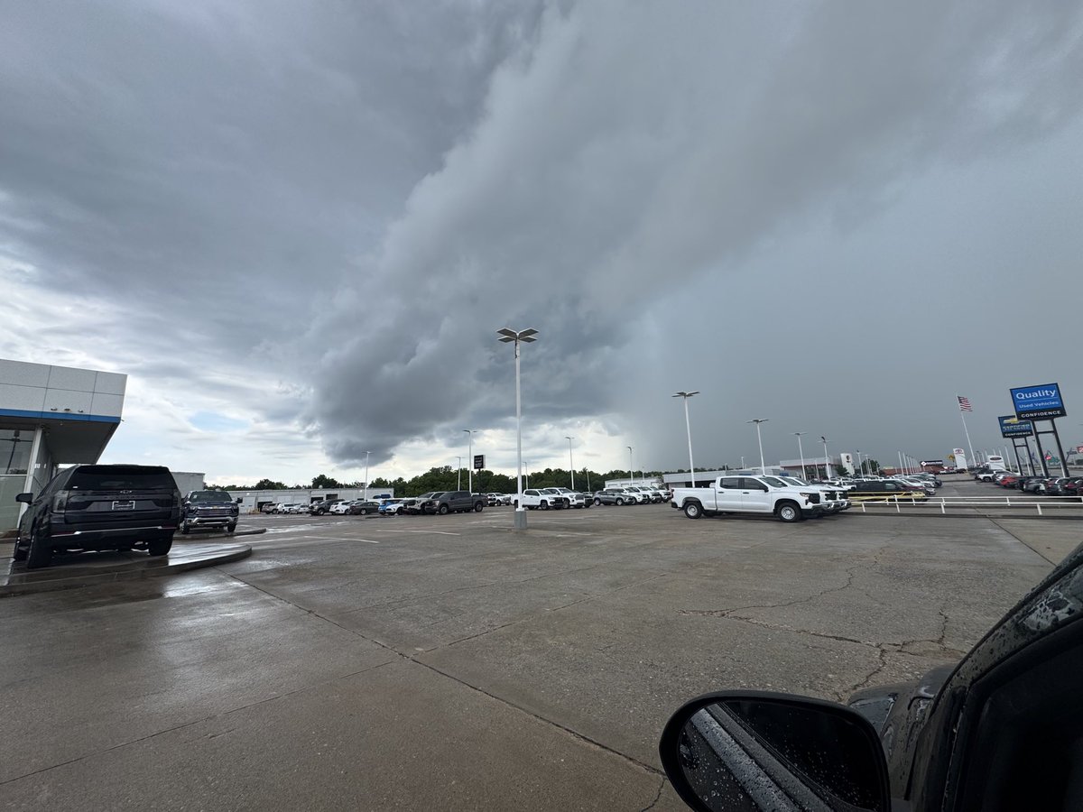
For concert goers in Norman, the main storms are staying south and west but the rain will be picking up and there’s lightning in the vicinity. But- you are in a meteorology town so chances are, there’s already a weather nerd nearby, checking radar. 🤓
9:20PM Sat @kfor#okwx
Oh hail no. Elk City was hit FOUR times by severe hail on Saturday, 5.9.26. Are you all alright? I hope that the damage isn’t too bad 😩
📸: Chasity Ritter
#okwx#hail#oklahoma
Large and destructive hail with the storm near Gotebo, moving east at 25 mph towards Carnegie. Baseball size hail and 60 mph winds are possible!
7:58PM Sat @kfor#okwx