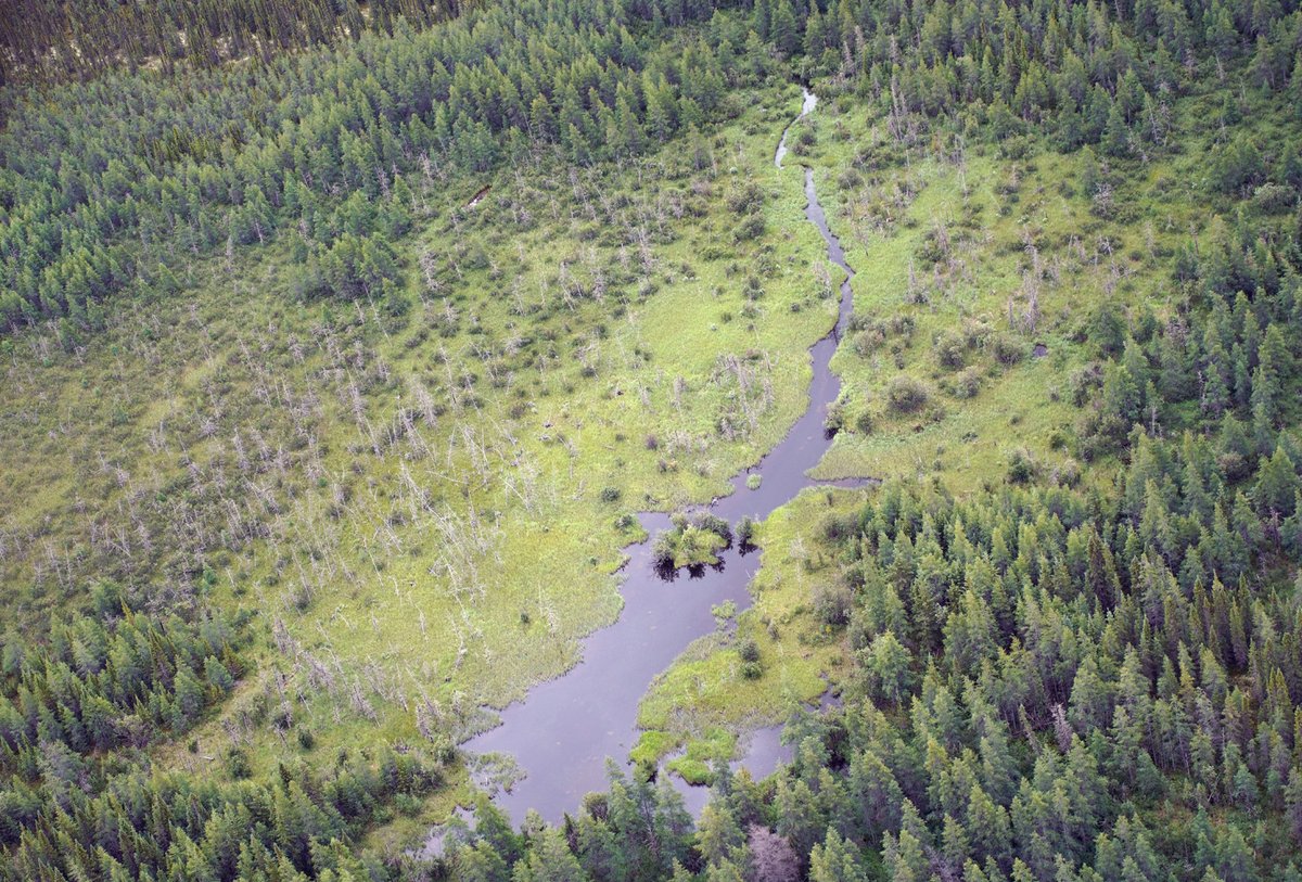
Photographed some beaver pond complexes this summer in the Hudson Bay Lowlands lying above the broadleaf treeline. The dams were very low and long, frequently spanning the floodplains surrounding the ~ 3 m wide streams and ending at beach ridges formed by post-glacial rebound
In time to celebrate #GISDay and #GeoWeek2022, researchers from @NRCan‘s Canada Centre for Mapping and Earth Observation have released this information product detailing field methods in support of caribou lichen mapping. https://t.co/tbq63e6eGx
The second consecutive summer of severe gypsy moth caterpillar defoliation around the Frontenac Park area in ON. Oaks getting hit hardest and had only a weak second flush of leaves last year - hopefully healthy enough to do it again
@BenGFreeman1 I don't care for walkin' down town
Crazy auto car gonna mow me down
Look at all the people like cows in a herd
Well I like
Birds
https://t.co/qbmFXKFvQd
@CanadianGIS Nice story and work by the GSC! CCRS conducted a UAV-based survey of the impressive Ibyuk pingo in 2015 (shown in this photo). Here's an animation of the 3D point cloud we generated.
#DYK 🇨🇦’s Arctic is warming at twice the global rate?
That’s why our scientists are working with northern colleagues to analyze archival satellite images going back to 1984.
Read this #SimplyScience article: https://t.co/gySw1X1TAZ
#ArcticScienceMonth
Meet Don Fraser from #teamASG. Fun facts: his award-winning career in journalism also required him to be a mall Santa & mascot in a St. Catharines parade! He was a rower while studying at @UofT and @Carleton_U. Also stalked #ChristopherWalken on #Kingston film set for interview.