Consultor / GeoMentor na Esri Portugal / (Consultant / GeoMentor at Esri Portugal)
Antigo Atleta de Pentatlo Moderno
(Former Modern Pentathlon Athlete)
Esri Education team is once again hosting the Esri Imagery & Remote Sensing Educators Summit. The summit will be held virtually on April 22 and 23, 2026.
https://t.co/1UMtKRb0B0
Hoje às 18h00 de Lisboa
https://t.co/skAeNvSq6N
• Establishing governance standards for ArcGIS
• Learn best practices to manage storage, content, credits, and users
• Provide support and communication to stakeholders
• Monitor ArcGIS usage
• Build capacity to manage ArcGIS
O ArcGIS Pro 1.0 foi lançado no dia 2015-01-27
Nestes 10 anos tornou-se a verdadeira evolução do ArcMap. Quais são as funcionalidades que mais gostas?
@esriportugal#esriportugal@Esri#esri
There is still time to register for our upcoming #highered webinar: Climate Resources for Research and Teaching!
Join us on November 14 at 8:00 am (PT) to see how you can incorporate #climate resources using #ArcGIS into your classroom: https://t.co/evIeDAn98n
GIS has changed, especially the way it's being taught in a higher education setting.
This #ebook provides key takeaways and resources for educators incorporating #modernGIS into their curriculum 🙌
Download the ebook: https://t.co/CmqCze5NcE
Don't miss this webinar with the #ArcGIS#Survey123 team & Esri Business Partner @LaserTechInc_. Capture measurements at a distance using the TruPulse laser rangefinder and get instant results in your mobile forms and surveys. 🙌
Register now: https://t.co/j1VyQQx5kK
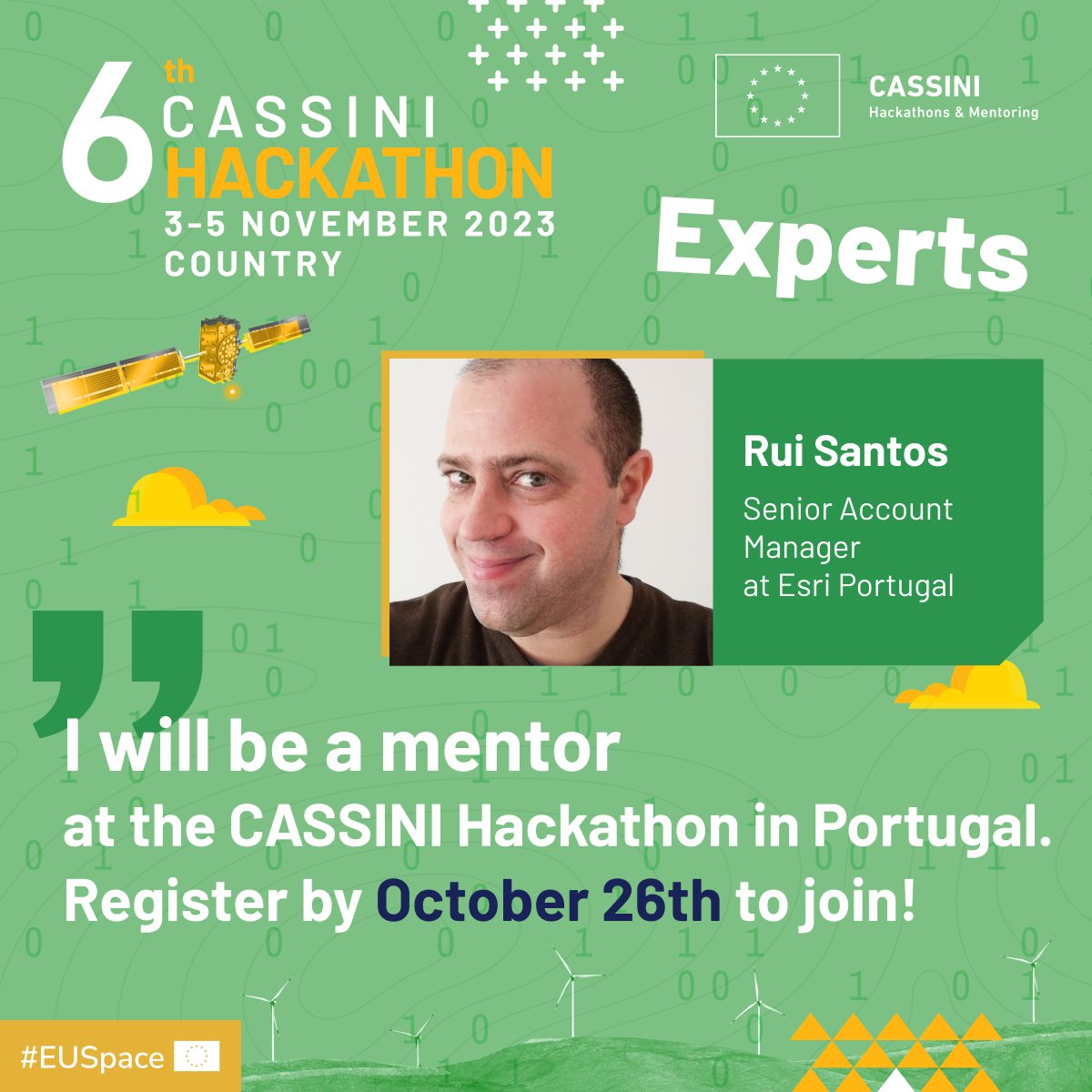
The 6th CASSINI Hackathon is coming to Portugal! Use space data and your unique perspective and skills to address global challenges. 🛰
Register before Nov 2!!
📅 Nov 3-5
🌐 Porto Business School
💰 3k€ prize pool for top three teams
🏆 Winner gets access to the Finals
Leveraging Cloud to Optimize Drone Mapping in Teaching and Research
Higher Education Webinar
October 19, 2023 | 10:00 a.m. (PT) 18:00 (GMT)
https://t.co/TXUlLdiSB8
💻 Last Call!
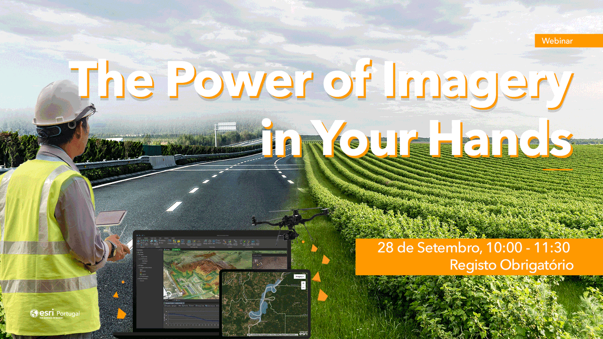
Não fique de fora, descubra como a oferta Esri para a área da Imagem pode ser utilizada para dar o próximo passo na Gestão, Visualização, Análise e Produção de dados
Este webinar é gratuito, mas de inscrição obrigatória: saiba tudo aqui ➡ https://t.co/DNz3RPs5i9
⏳ No dia 17 de outubro, faça parte do maior Encontro de Sistemas de Informação Geográfica de Portugal, veja e oiça o fundador da Esri: compreenda, pela voz do próprio, qual é a sua visão para o futuro da tecnologia Geoespacial
Saiba Mais Aqui ➡ https://t.co/PMX0YPqagu