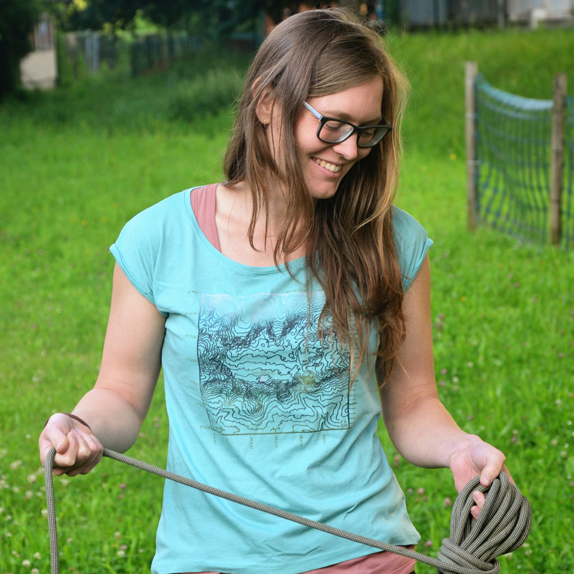
A #mountain from above - the #Hochkönig area, to be exact. The #elevation lines reveal the pretty shape of this mountain plateau. Elevation lines are also very useful for planning #routes, analysing #altitudes and estimating the degree of #slopes. 👉https://t.co/9x0RsbKHmm
This is something for #mountain lovers as this #geodesign shows the #Hochkönig mountain, in the #Salzburg region in #Austria. Especially for #outdoor activities, contour lines are a useful guide on #maps as they indicate height, slope, and aspect.
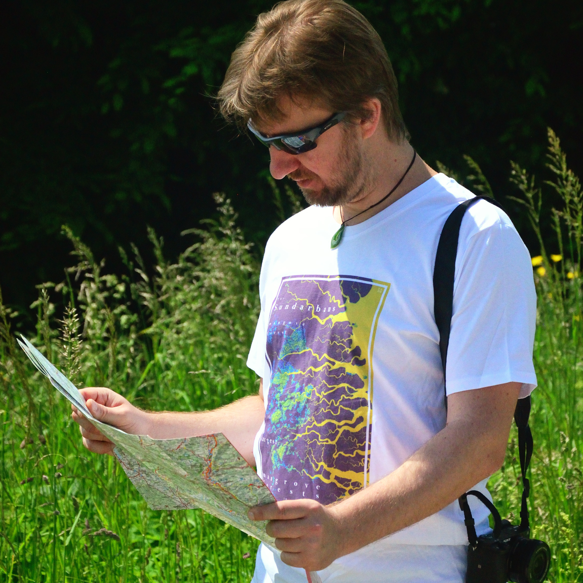
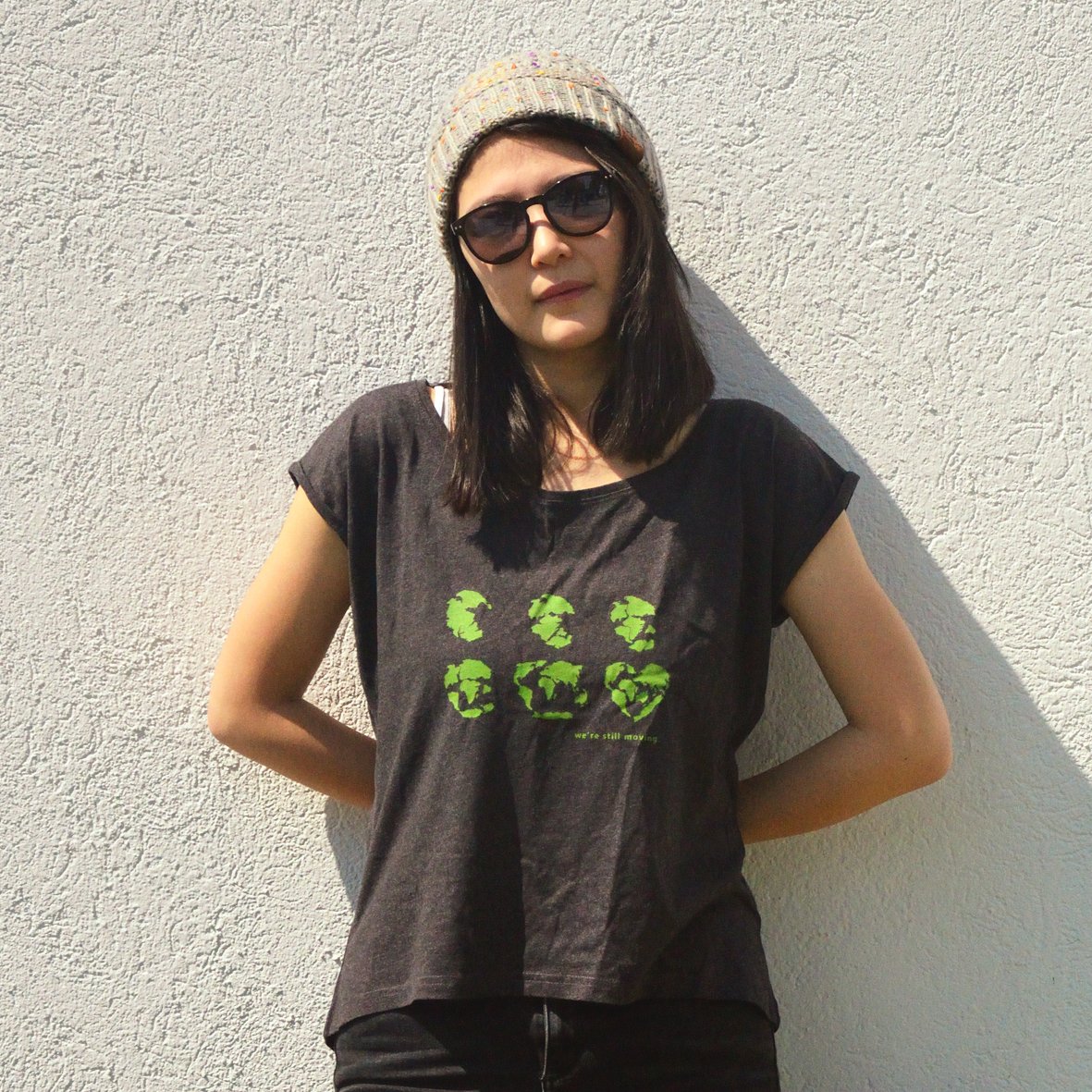
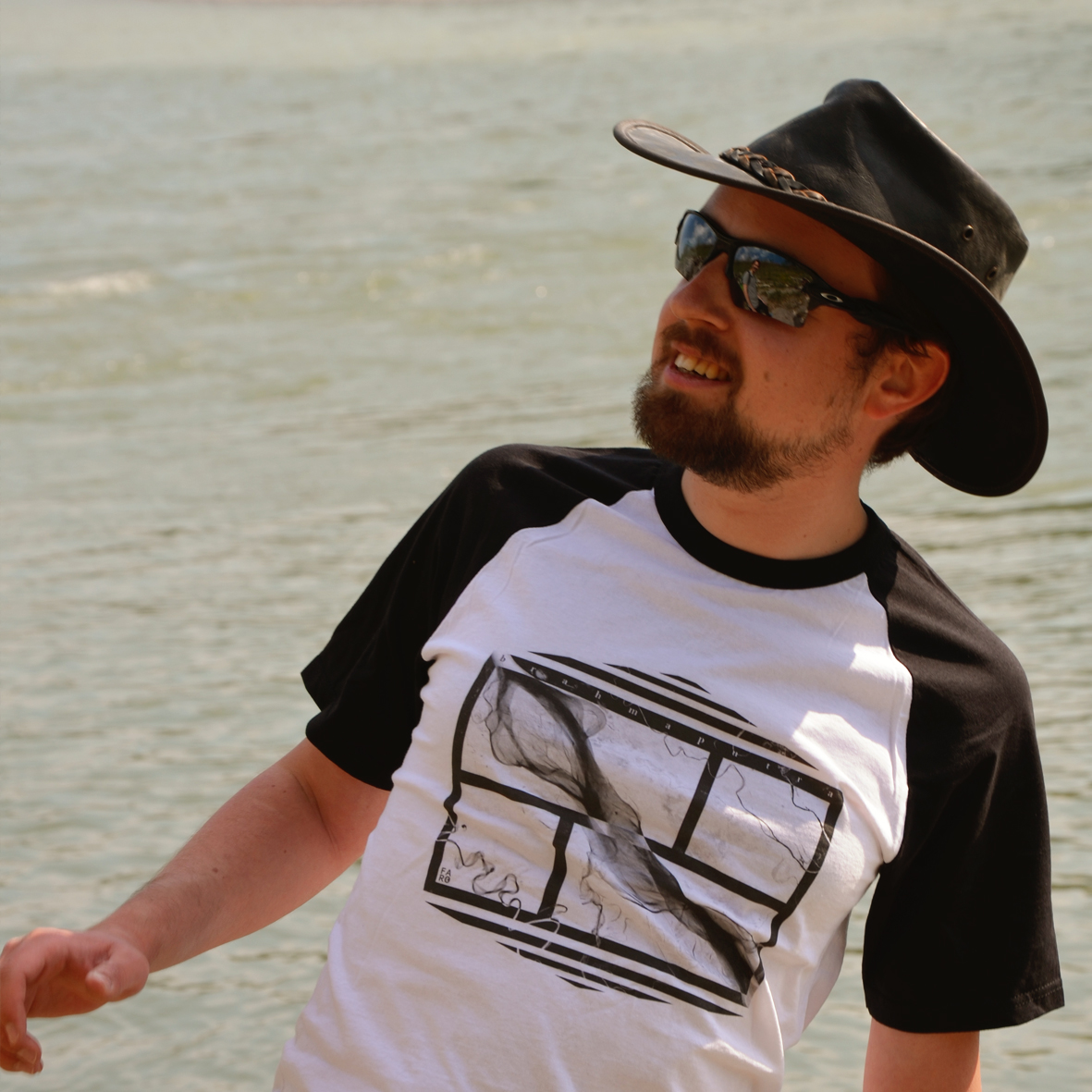
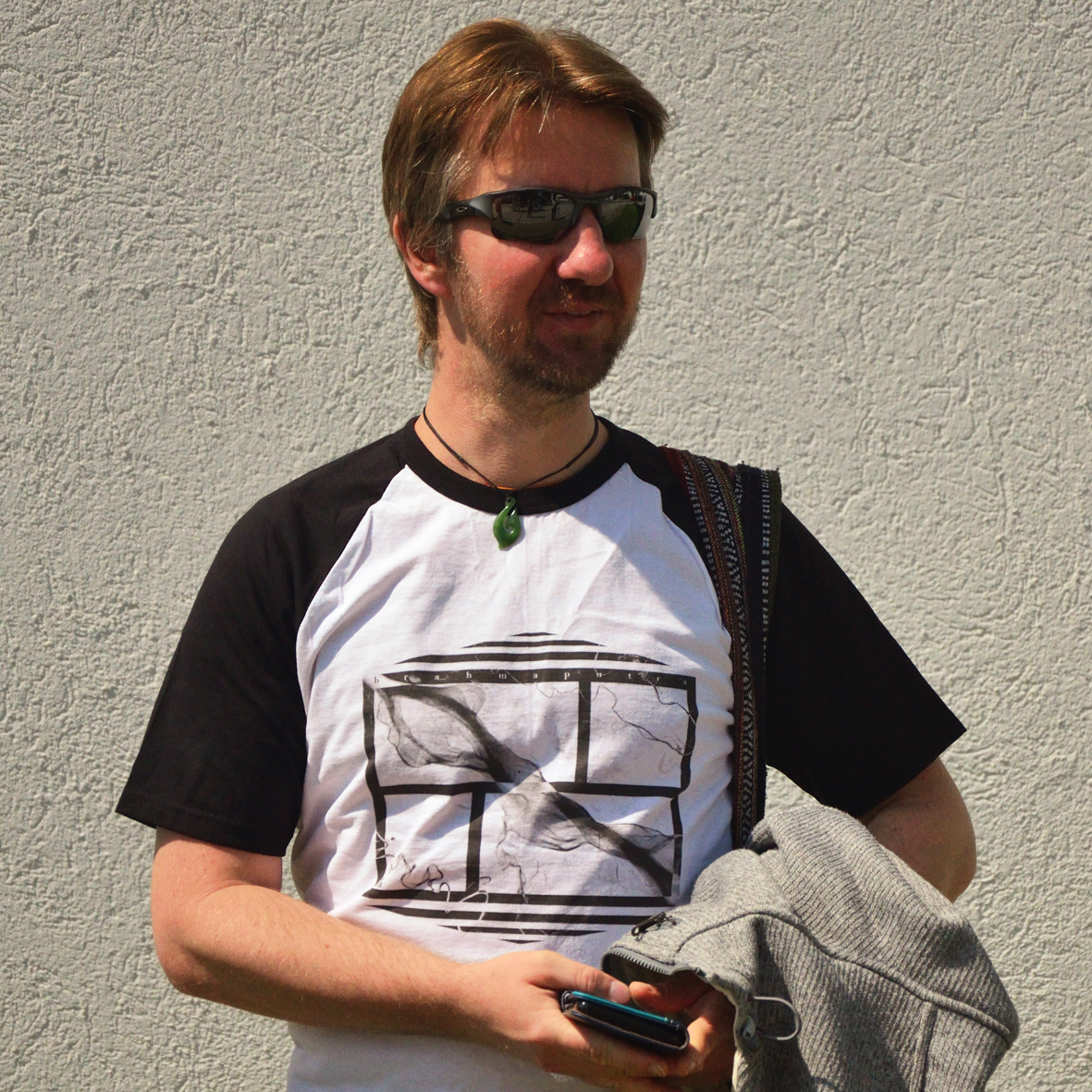
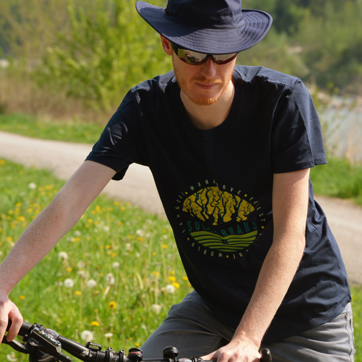
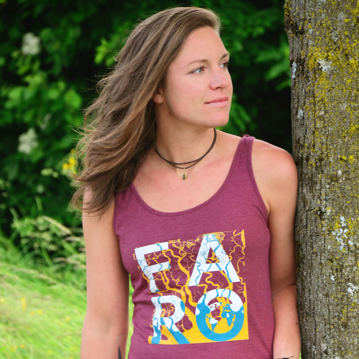
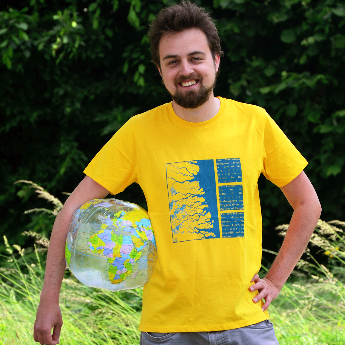
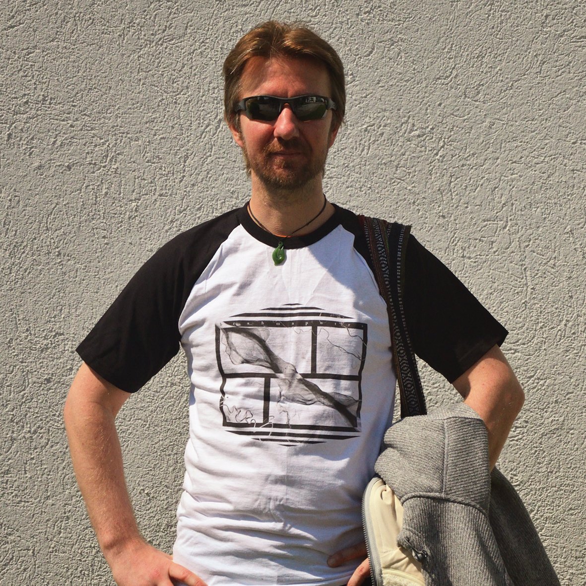
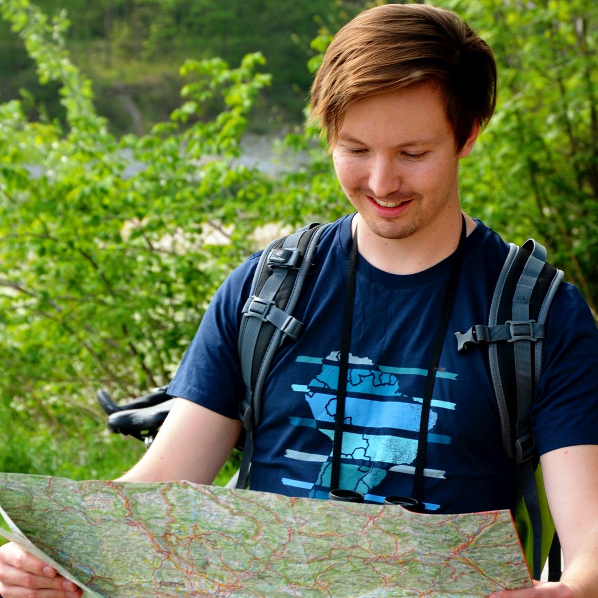
Not only we at https://t.co/KpK4574RRI are working in the field of Geoinformatics, all the people on our photos do, too. Colleagues and friends liked the idea of making "geodata merch" and jumped in to support us!👉https://t.co/whGNWflivT #earthobservation#landsat#satellite