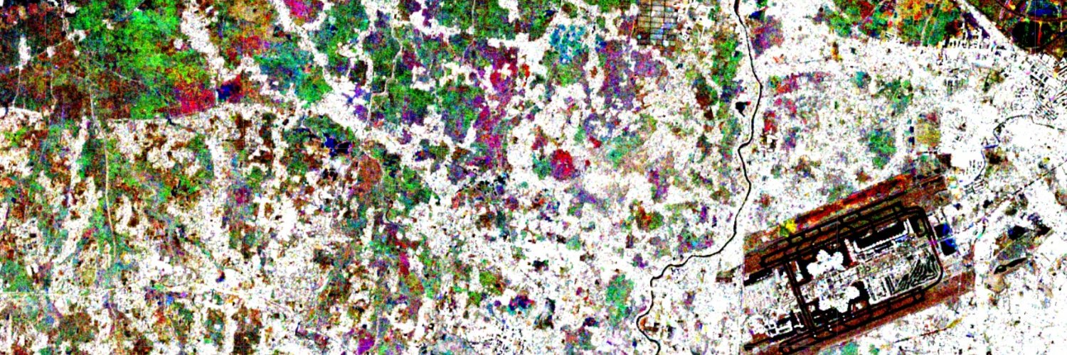
These satellite images will give you an overview of how large the flood areas are in one of the most affected areas, West Sumatera, Indonesia. Floods are shown in brown #Banjir#banjirsumatera#flood
Before After
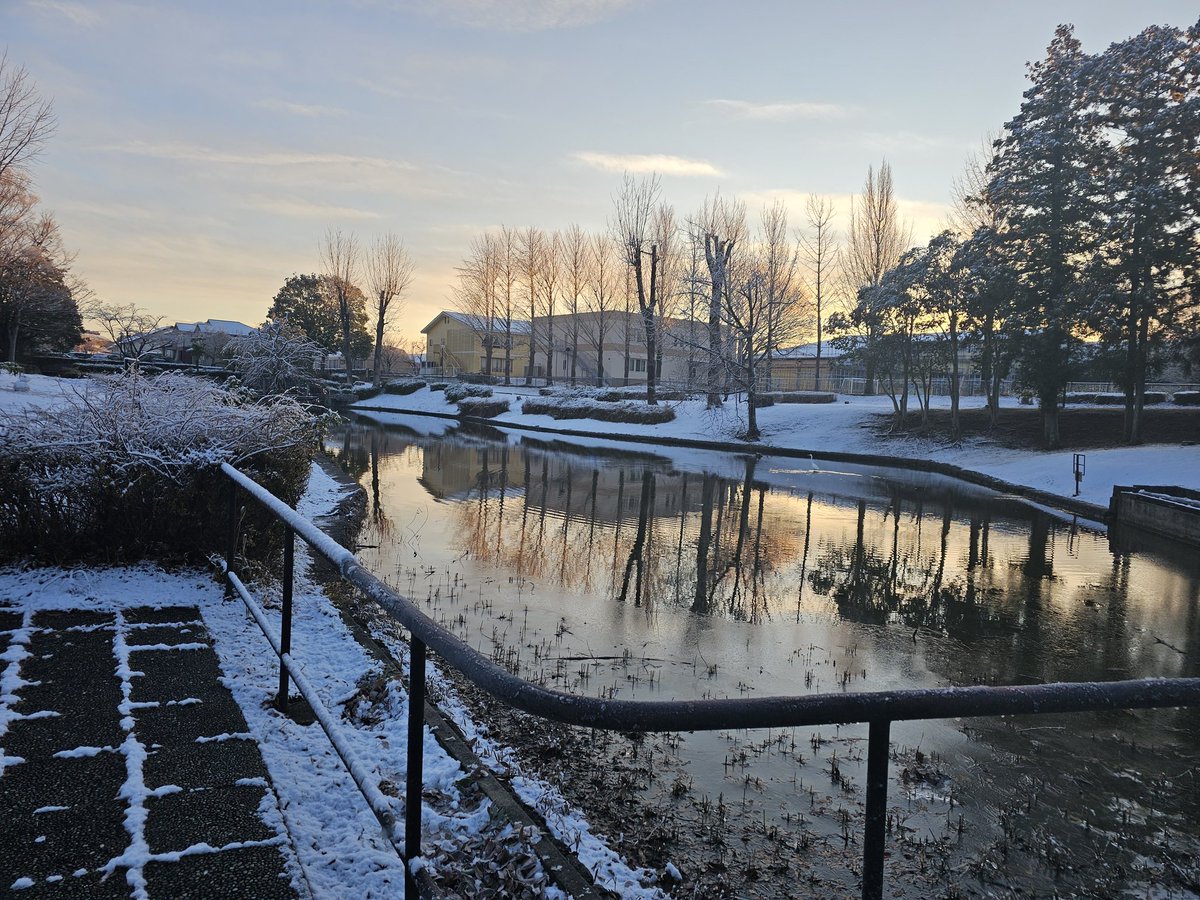
Now, what is the solution? Senyar may be rare. But this landscape vulnerability is not. It is predictable. You must restore infiltration capacity of the landscape. Build local rainwater-harvesting infras+retention ponds inside plantations. Stop plantation/mining expansions now!
@acan9 Thanks for asking. The before-flood image was around 2020, it is just a base map from Google Map. While the after image was acquired on 2025/11/29
I’m honored to be serving as the collection’s Guest Editor and eager to read your submission. Learn more about the collection and how to contribute: https://t.co/ZpqQj4iOeH
As one of the editors, I invite you to submit your latest research on using geospatial data to measure & strengthen community resilience.
https://t.co/4Y8sEkoqo7