Product Manager for #HxMap at @LeicaGeosystems | MSc @ETH Photogrammetry & Remote Sensing | Interests in photography, programming and new technologies.
📅 Save the date!
Next Thursday 13.10.22 @ 15.00 CET I am planning to sit down with Mark O'Neal and Christian Ihlenfeldt to talk about the features of our latest @LeicaGeosystems#HxMap 4.1 release!
This clip from a 1961 documentary shows how a map was made, using tellurometers, punch cards, stereo plotting machines tracing scale maps from aerial photographic plates
[full video: https://t.co/G0woRcfkbW]
Leica DMC-4 is here! The new airborne mapping solution provides superior image fidelity for orthoimaging, photogrammetry and stereo mapping applications.
Read the announcement! https://t.co/sVo1iktTLJ
#airbornemapping#photogrammetry#newproduct
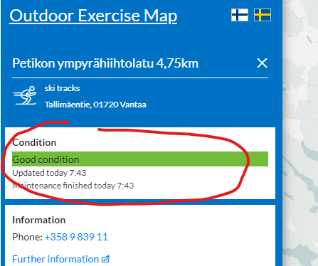
pinging @avoindatafi / @HRInfoshare and anyone familiar with open data in Finland: is there any way to access the status of skiing tracks in Helsinki region? I tried palvelukartta and LIPAS, but couldn't find the required information...
🎉 Another #HxMap release is out! 🎉
My personal favorites inside this release:
👉🏻 LiDAR point cloud classification
👉🏻 LiDAR QC raster
👉🏻 QC polygon drawing
We are pleased to announce the release of Leica #HxMap 3.5.0. This version includes major new features like LiDAR point cloud classification inside the workflow manager, new tools for efficient 3D city modelling, and support for systems with exchangeable lenses.
These "then and now" comparisons always amaze me... look at how much Helsinki has changed throughout the years! Really nice examples from @helikello / @fgi_nls
https://t.co/LMA0qWXRBF
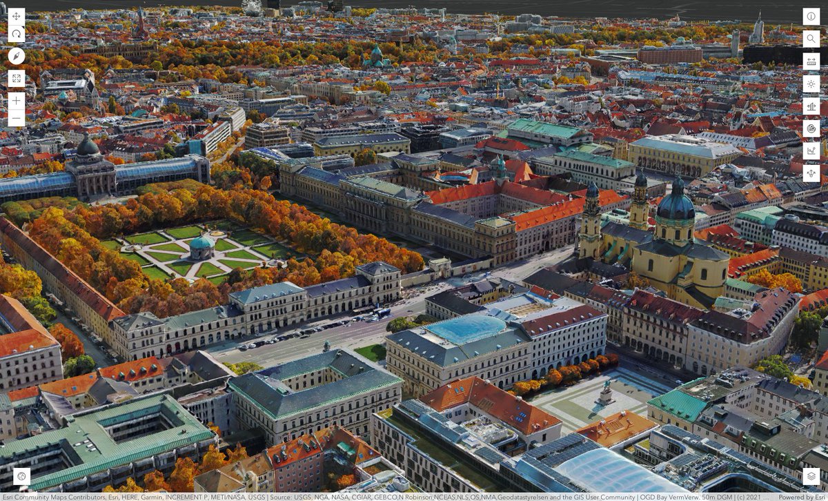
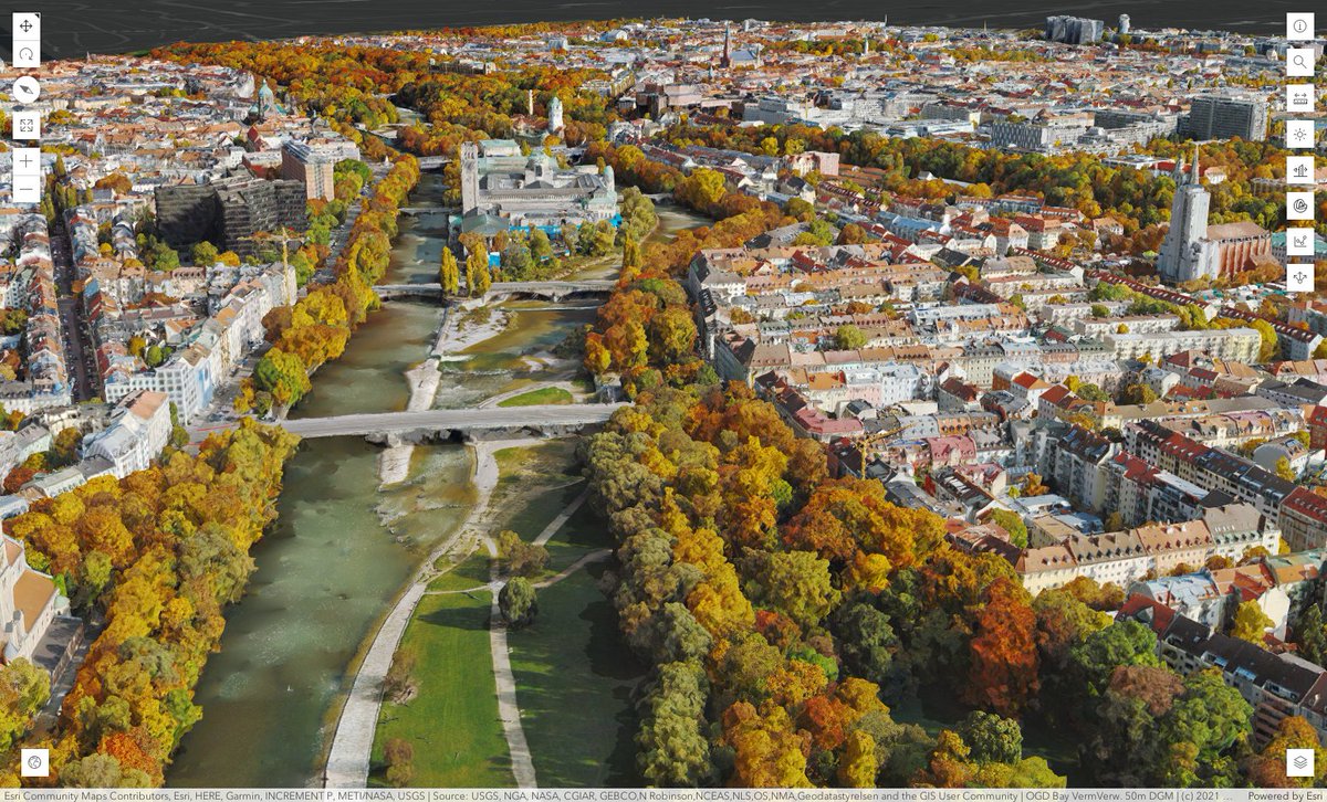
Munich 3D, based on an extraordinary data set. 😍
Copyright: Hexagon AB / ESRI Images: Leica CityMapper-2 image processing: SURE, software developed by nFrames / ESRI
https://t.co/uDSADN8C5v
The new Leica ContentMapper imaging sensor enables us to offer state governments more flexibility and efficiency in fine-tuning their statewide imagery needs. Check out the presentation to learn more: https://t.co/BOkW9LPl3N
#hxgncontent#aerialimagery#contentmapper
Excited to see another #forestry research paper using @LeicaGeosystems#SPL100 data! It is always tricky to compare a highly efficient single photon system with traditional airborne laser scanners...
Our recent study shows that single-photon airborne LiDAR data is suitable for area-based inventory by tree species although the prediction errors may be larger than with conventional linear-mode airborne LiDAR data: https://t.co/ChvWoAkvlX
Join Felix Rohrbach and René Rothe on 25 February for the Leica HxMap Webinar and learn about 3D modelling in the high-performance post-processing software. Register now: https://t.co/pVCkaVRdfg #HxMap#AirborneMapping#3DWorkflow
With #HxMap 3.3 we released our new 3D editor - another valuable piece in our 3D workflow. Come and join me as I talk with René how it all comes together!
Join Felix Rohrbach and René Rothe on 25 February for a Leica HxMap Webinar and learn about 3D city modelling in the high-performance post-processing software. #LeicaGeosystems#HxMap#AirborneMapping#3DWorkflow Register now: https://t.co/ClTz6ksEP9
We're pleased to announce the release of Leica #HxMap 3.3.0. This version supports a new 3D editor perspective and clipping option for ortho imagery in flight direction. For more information about Leica HxMap, visit our website: https://t.co/o7o7tw9Le0