This is a fan account:
Due to Twitter's new policy, l'm posting a disclaimer that I am not affiliated with any of the celebrities, games, or shows I post about. This account isn't affiliated with any of them. This is purely a fan account for entertainment purposes only.
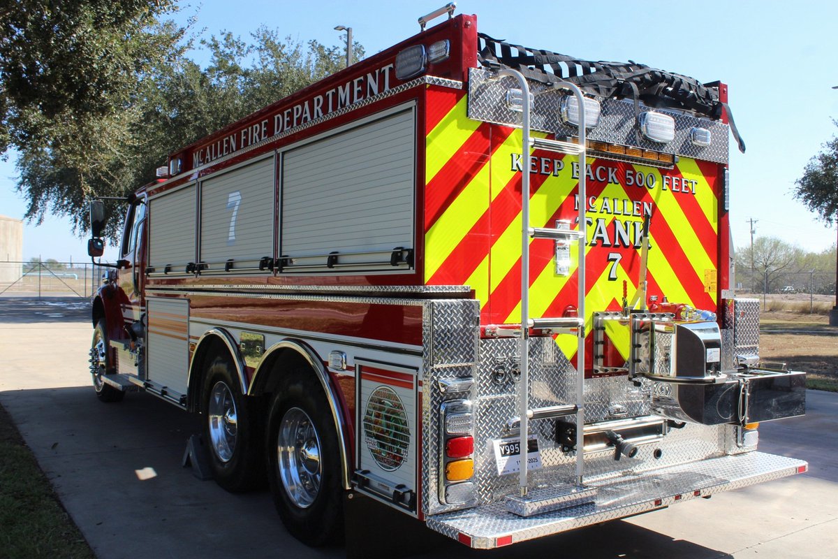
3. I am planning on expanding my photography skills including vehicle, weather, and nature photography.
4. I am not active on here however if you wish to reach out to me my discord is mors.ante.ignominiam. (including the last period)
That's about it. See ya.
Been awhile since I've been on here so I might as well give some updates:
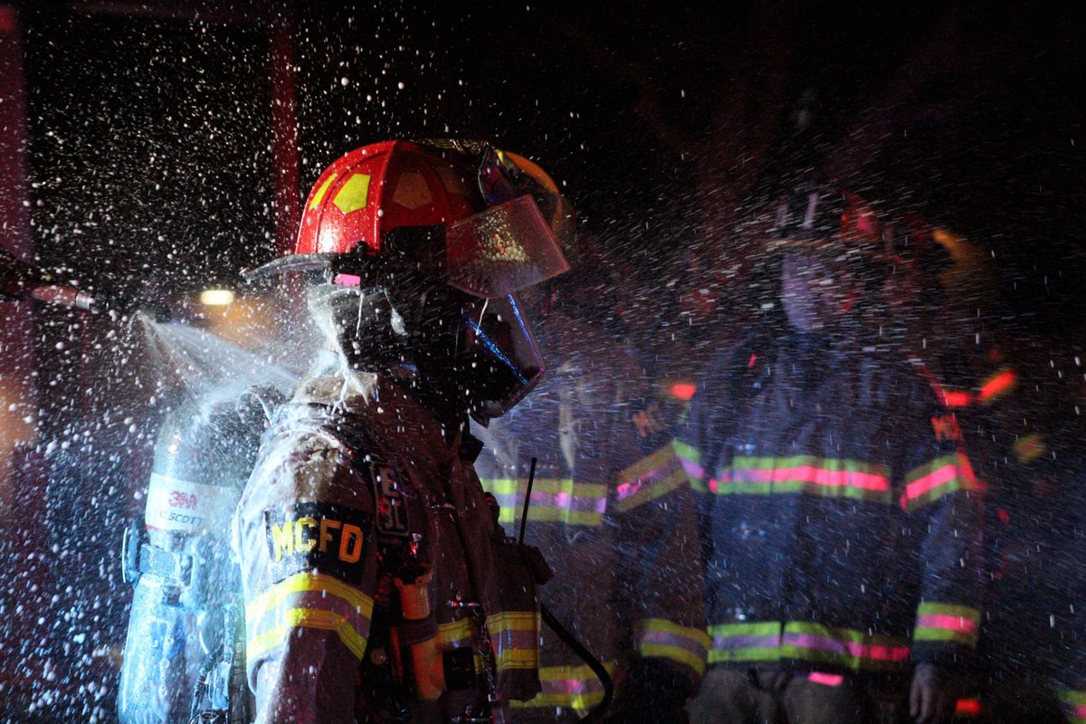
1. I am officially discontinuing fire photography within the next coming months due to discussions regarding encryption.
2. I have entering my second semester of college studying computer science.
1/2
BREAKING: The Guadalupe River in Texas has spiked 190-fold in THREE HOURS!
CATASTROPHIC flooding ongoing once again in Texas Hill Country along I-10, especially near Kerrville! An obscene stat:
At 5 a.m., it would have taken the Guadalupe River 1 minute 24 seconds to fill up an Olympic-sized swimming pool. Now it could fill 2.25 EVERY SECOND.
This is where the Guadalupe River passes through Comfort, Texas. Some folks are pushing 15-20+ inches of rain since Tuesday, and all that water is being funneled downhill and flowing into only a few rivers.
Multiple FLASH FLOOD EMERGENCIES are in effect. The Weather Prediction Center has drawn a rare HIGH RISK of flash flooding and excessive rainfall. High risks are only drawn 4 percent of the time, but account for 80 percent of all flood-related financial losses and 36 percent of fatalities!
A slow-moving and, at times, stalled frontal boundary has been gradually sagging southward for days. Weak low pressure over Mexico induced light southerly winds that have been pumping Gulf moisture northwards. That moisture continues to pool along the frontal boundary, leading to torrential downpours with 2 to 3 inch per hour rainfall rates.
Weak winds aloft, meanwhile, mean individual thunderstorms are hardly moving. That's allowed storms to train, or move repeatedly over the same areas.
Moreover, a pair of MCVs, or mesoscale convective vortices – broad, weak swirls of wind left behind by since-decayed earlier thunderstorms – are helping to ignite new convection, or thunderstorm activity. That's served to focus the heaviest thunderstorms in a few concentrated zones.
On Thursday morning, one MCV was located in Snyder, between Lubbock and Abilene, Tex. The other was near Sonora, or along Interstate 10 about 100 miles north-northwest of Uvalde.
We stand in solemn solidarity with our brothers and sisters @CDAFirefighters as they mourn this devastating loss. May we all join together in honoring the fallen and lifting up their loved ones in this time of grief.