@Support
Can we please fix the many bugs and issues within the chat feature of this app? I am noticing so many problems and this is all because of the latest updates which actually destroyed something that was working SO well!
- some of the members in my group chat cannot see GIFS or videos
-unable to rename the group name
- also having the group disappear on some of the group members for no reason
Those are just a few of the problems I'm noticing. Would anyone like to chime in on any issues they are experiencing within the application?
Which we saw how the last feature trended so this solution would not surprise me at all. Too far out to start talking "drought buster".
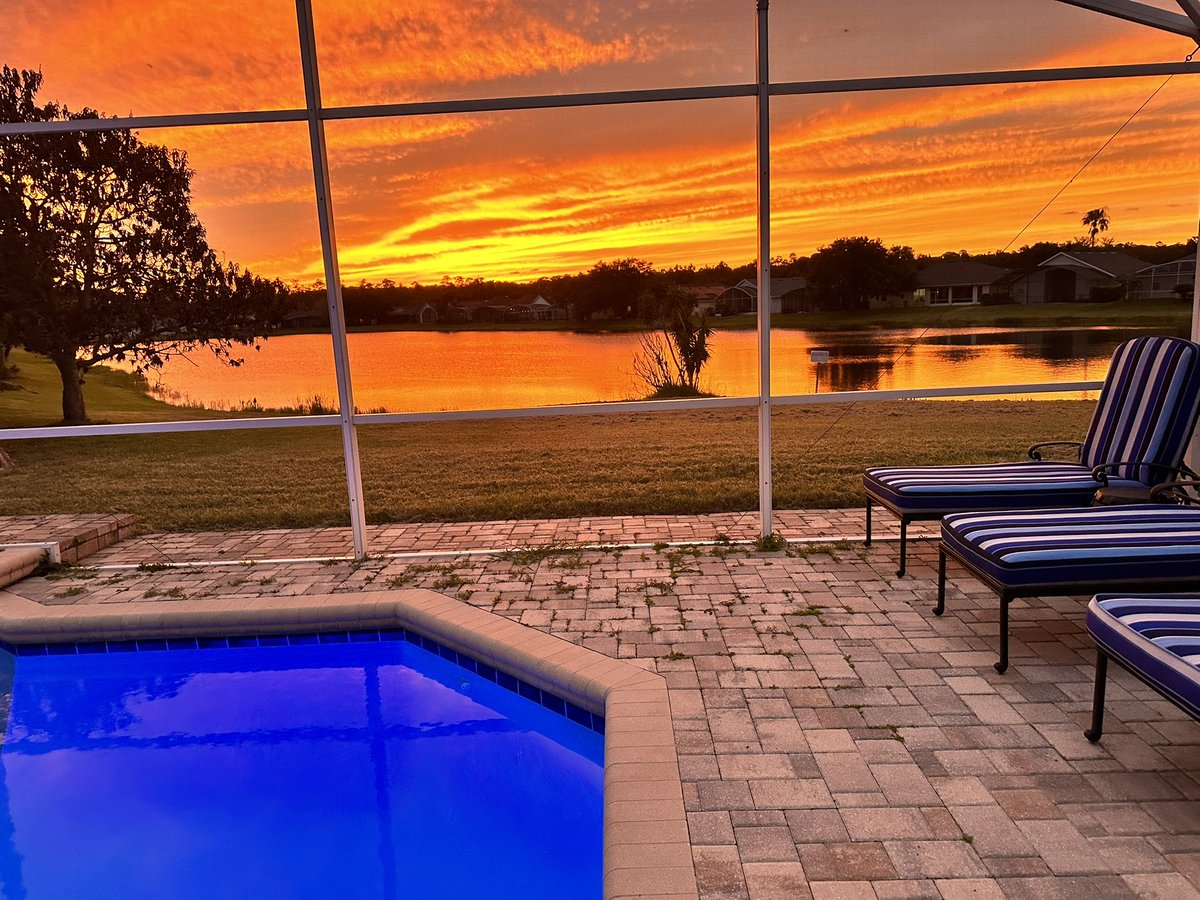
We had a forecast from the EPS of up to almost 6" and we maybe got two from what was supposed to be a wet week for Central Florida. Not jumping on the bandwagon. Just watching.
I think the new Euro is arguably even more hostile in the Atlantic this year than CanSips haha. Dry anomalies everywhere and high pressure throughout the MDR. No signal for any CV activity whatsoever. Verbatim this would probably be the quietest Atlantic season since 2013.
@BIGSHOOKIE Not at all. I am reiterating what he is saying. It's the people who are looking for clicks or to monetize. You do not see Jim Cantore obsessing over this area.
Until the NHC acknowledges, it is just noise.
"Low confidence"
We really shouldn't be out here posting every ensemble run, global guidance, or daily updates. Simple message. We are watching! If and when confidence increases then daily updates are necessary.
Again... if anything were to develop climo says it will be on the weaker side. Flooding being the main threat.
Watching enhanced MJO in the eastern Pacific with the Central American Gyre (CAG). There is really nothing to scream about here at this time. Guidance continues to show potential evolving about this time/weekend next, but its really low confidence at best right now for something to come out of the Gulf. We are talking 8 to 12 days here.
As we move into the middle/late part of next week this area will become more clear regardless of which way it will go, but until then, "It's something to watch." That is all I have right now.
@PivotalWeather@weathermodels_
Someday the earth will be hit by a giant meteor that vaporizes the atmosphere, and the GFS will still find a way to spin up fake Caribbean hurricanes from spurious vorticity off South America.
I love how once one respected met posts about the tropics and a potential area to watch the flood gates open full of posts. But if someone like me were to do that I would be blasted or no one would follow. Lol. Social media is so interesting.
DROUGHT UPDATE: Florida is going in the right direction! We continue to trim away at the deficit, with a 12% improvement over the past week with our Extreme (Level 4) Drought. 29% improvement over the past month. Let's keep it goin'!
Good morning, everyone! ☀️
A drier pattern has returned to Central Florida. This pattern will remain in place for the remainder of the week which will provide very comfortable temperatures for June.
As we look ahead for our next chance of rain it may be close to a week before we see any real chance for decent rainfall.
Also monitoring the tropics as there is a small signal something weak could try to develop in about 10 days some where in the Gulf. So you will see some chatter about that but confidence remains low for now.
Enjoy this weather for now! Eventually the heat and humidity will return.
#WxUpdate
#FLWX 🌴
#CentralFLWX
📡✝️⛅️
DRIER AIR COMING!🙌Get ready Florida for a rare June front to drop humidity later today through Thursday, Friday and this weekend! Dew points in the 50s and 60s for most across the state. Even 40s in the Panhandle! Enjoy it while we have it, this might be it for a while!